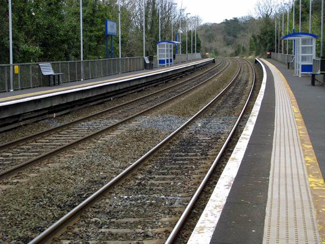
Cultra railway station — Cultra Location Place Cultra (Holywood) Local authority … Wikipedia
Seahill — Infobox Irish Place name = Seahill irish = crest motto = map pin coords = left: 172px; top: 75px north coord = | west coord = area = | elevation = province = Ulster county = County Down NI district = North Down Borough UK constituency = North… … Wikipedia
List of railway stations in Ireland — This article lists railway stations both in the Republic of Ireland and Northern Ireland. In The Republic of Ireland A * Adamstown * Arklow * Ashtown * Athenry * Athlone * Athy * Attymon B *Bagenalstown *Balbriggan *Ballina *Ballinasloe… … Wikipedia
NI Railways — See also: Rail transport in Ireland NI Railways … Wikipedia
Downpatrick — Coordinates: 54°19′19″N 5°42′11″W / 54.322°N 5.703°W / 54.322; 5.703 … Wikipedia
Moira, County Down — Coordinates: 54°28′48″N 6°13′55″W / 54.480°N 6.232°W / 54.480; 6.232 … Wikipedia
Helen's Bay — Infobox Irish Place name = Helen s Bay irish = crest motto = map pin coords = left: 173px; top: 75px north coord = | west coord = area = | elevation = province = Ulster county = County Down NI district = North Down Borough UK constituency = North … Wikipedia
Dromore, County Down — Not to be confused with Dromore, County Tyrone. Coordinates: 54°24′54″N 6°08′56″W / 54.415°N 6.149°W / 54.415; 6.149 … Wikipedia
Comber — For the fish, see Comber (fish). Coordinates: 54°32′38″N 5°44′06″W / 54.544°N 5.735°W / 54.544; 5.735 … Wikipedia
Newcastle, County Down — Coordinates: 54°12′36″N 5°52′55″W / 54.21°N 5.882°W / 54.21; 5.882 … Wikipedia

