- Washington Island (Wisconsin)
-
Washington Island Geography Location Door County, Wisconsin Coordinates 45°22′37″N 86°53′47″W / 45.376991°N 86.896362°WCoordinates: 45°22′37″N 86°53′47″W / 45.376991°N 86.896362°W Area 23.51 sq mi (60.89 km2) Length 6 mi (10 km) Width 5 mi (8 km) Country Demographics Population 660 (as of 2000) 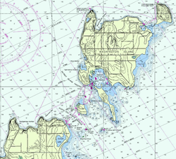 Washington Island
Washington Island is located about 7 miles northeast of the tip of Door Peninsula in Door County, Wisconsin. The island has a year-round population of 660 people (2000 census). It has a land area of 60.89 km² (23.51 sq mi) and comprises over 92 percent of the land area of the town of Washington, as well as all of its population. The unincorporated community of Detroit Harbor is located on the island. It is the largest in a group of islands that includes Plum, Detroit, Hog, Pilot, and Rock Islands. These islands form the Town of Washington. A large part of Washington Island's economy is based on tourism.
Washington Island is approximately 5 miles wide by 6 miles long. Together with the Door Peninsula, Washington Island forms a treacherous strait that connects Green Bay to the rest of Lake Michigan. Early French explorers named this water way, now littered with shipwrecks, Porte des Morts, which means "Death's Door" and gives Door County and Door Peninsula their names.[1]
Contents
History
Washington Island is one of a string of islands (which are an outcropping of the Niagara Escarpment) stretching across the entrance of Green Bay from the Door Peninsula in Wisconsin to the Garden Peninsula in Michigan. Its earliest known name is Wassekiganeso, an Ojibwa name that translates to "his breast is shining" and apparently refers to the glint of the sun that at times reflects off the limestone cliffs.[2]
The earliest records and maps of the French, with whom written history of the region begins, do not name the individual islands, but refer to them all as a group. The names chosen depended on which group of Native Americans they found on the islands at the time. The most common name from after 1650 to 1816 was the Potawatomi Islands (various spellings exist). The Potawatomi appear to have first come to especially the southern islands in the string about 1641 (at which time they may figure into the naming of Porte des Morts), then left the area for a while, and then returned again and remained there for a considerable length of time. The French form of this name (also variously spelled) is l'Isle des Poux, based on a shortened form of the tribe's name. This shortened form also appears as "Pous" and is at times erroneously confused with Puans, which refers to the Winnebago. At times the French used the latter portion of the tribe's name, "Pou_a louse", resulting in Louse Islands.
Before 1800, however, a few other names were applied to these islands. The Jesuit Records of 1670-1672 refer to them as the Huron Islands. Other records of the time refer to them as the Noquet Islands, named for the small band of Ojibwa that lived in the area of what is now called Big Bay de Noc, as well as, for a time, on Washington Island.[3] Jonathan Carver, who traveled the area in the late 18th century, called them, simply, the Islands of the Grand Traverse.[4]
In July, 1816, Col. John Miller was in charge of garrisoning a new fort at the head of Green Bay to be called Fort Howard. A small fleet of three schooners and one sloop sailed from Mackinac. They were the sloop Amelia and the schooners Wayne, Mink, and Washington; the last being the largest and flagship of the fleet as well as, reportedly, the largest vessel on the lakes at the time.[5] The fleet was separated en route, and the Washington anchored in what is now Washington Harbor to wait for the others. With two days of waiting, some of the crew did some exploring on the island, and the officers, assuming theirs was the first ship to anchor there, named the harbor after the ship and in honor of President Washington, who had only recently died. They also began naming the various islands in the area after significant members of their party, with the name of Col. John Miller being honored on the largest island as Millers Island. Other members of the party included Maj. Talbot Chambers, John O'Fallon, and Joseph Kean. Chambers Island retains its name today, while Keans Island and Fallons Island are now called Rock and Detroit Islands, respectively.[6]
Not every map maker or journalist, however, knew of or paid attention to this. The names of Potawatomi and Louse continued to be used by many for many years (with a continued variety of spellings). At times Potawatomi was applied to the main island; sometimes to what is now Rock Island. At times the main island is totally missing from the map. When the lighthouse was built on Rock Island, it was called Potawatomi Light, a name it retains to this day. While a few maps did chart either [?]ellens or Mellens Island (a possible corruption of Miller), the settlement of the island began with the fishers and craftsmen living around Washington Harbor. These commonly called the whole island by the name of their harbor and in the census of 1850, "Washington Island" appears.[7] After that, both Potawatomi Islands, and Potawatomi Island soon fell out of use.
Most of the people who settled on the island were Scandinavian immigrants, especially Icelanders. Today, Washington Island is one of the oldest Icelandic communities in the United States and among the largest outside Iceland itself.[1]
Transportation
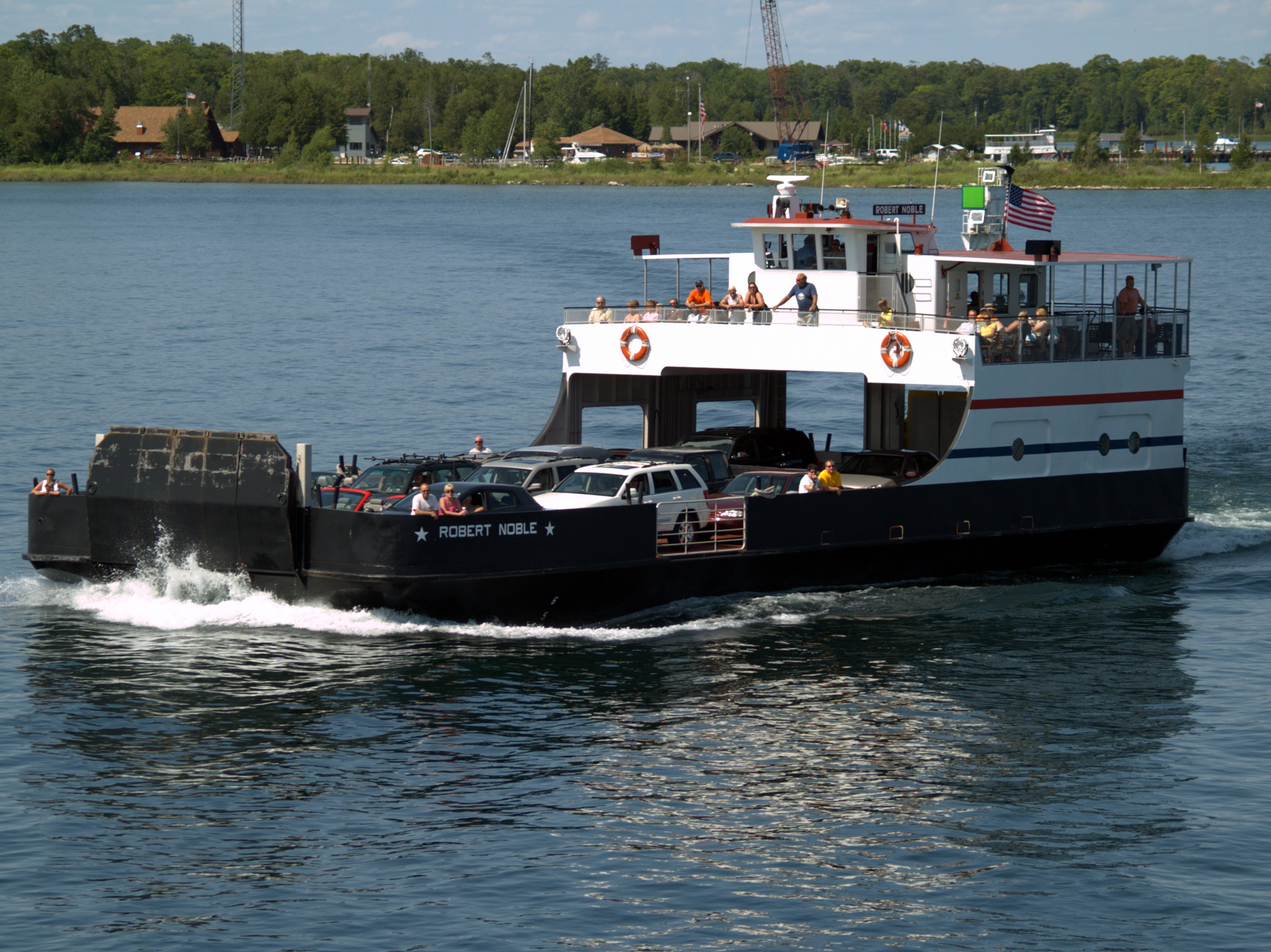
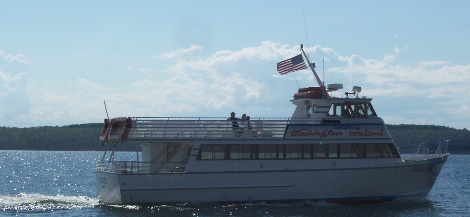
Two ferry routes exist to get to Washington Island. One route is to take a 30-minute ferry ride from the Door Peninsula to Detroit Harbor on the island from a freight, automotive and passenger ferry that departs daily from the Northport Pier at the northern terminus of Wisconsin Highway 42. A passenger-only ferry departing from the unincorporated community of Gills Rock on a 20-minute route that features either a ferry ride only or one that includes a narrated train tours upon arriving on Washington Island.
The Washington Island Airport, a small public airport with two grass runways, is also located on the island.
-

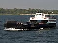
Arni J. Richter car ferry
-
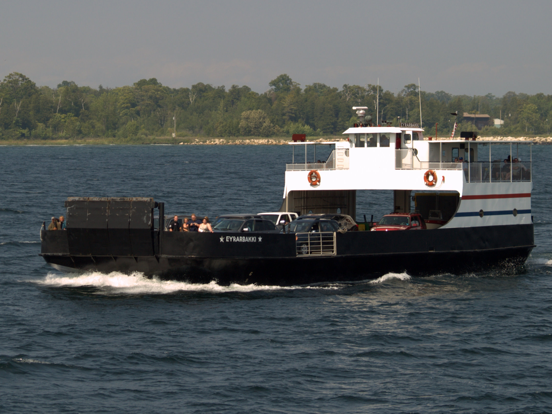
Eyrarbakki car ferry.
-

Robert Noble car ferry
-
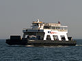
Washington car ferry
-
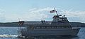
Island Clipper passenger ferry
See also
- Washington, Door County, Wisconsin
- Wisconsin Tourism
- Islands of the Midwest
- List of islands of the United States
- French Island and Madeline Island, other populated islands in Wisconsin
Notes
External links
- WashingtonIsland.com
- Door County Chamber of Commerce
- Washington Island Ferry Line Departing from Northport Pier
- The Island Clipper Departing from Gills Rock
- Washington Island Airport Information
Categories:- Geography of Door County, Wisconsin
- Islands of Wisconsin
- Islands of Lake Michigan
- Icelandic American history
-


Wikimedia Foundation. 2010.