- Nakło nad Notecią
-
"Nakło" redirects here. For other uses, see Nakło (disambiguation).
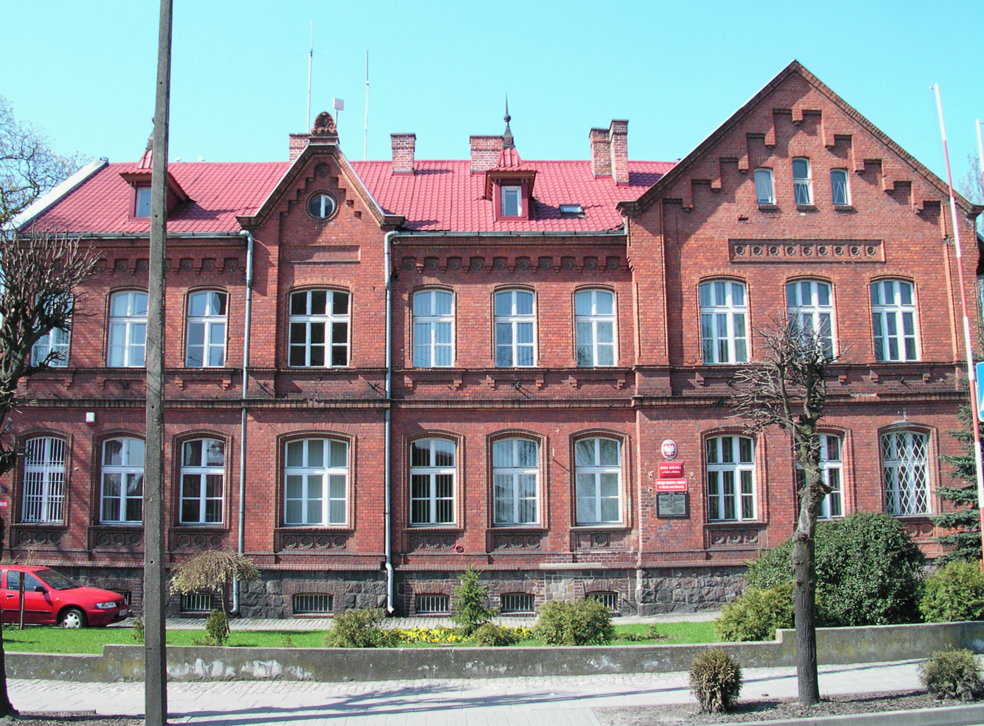
Nakło nad Notecią Town hall
Flag
Coat of arms
 Nakło nad Notecią
Coordinates: 53°8′25″N 17°35′34″E / 53.14028°N 17.59278°E Country  Poland
Voivodeship Kuyavian-Pomeranian County Nakło Gmina Nakło nad Notecią Government – Mayor Zenon Grzegorek Area – Total 10.62 km2 (4.1 sq mi) Population (2006) – Total 19,409 – Density 1,827.6/km2 (4,733.4/sq mi) Time zone CET (UTC+1) – Summer (DST) CEST (UTC+2) Postal code 89-100 Car plates CNA Website http://www.naklo.pl Nakło nad Notecią [ˈnakwɔ ˌnad nɔˈtɛt͡ɕɔ̃] (German: Nakel) is a town in northern Poland on the river Noteć (German: Netze) with 23,687 inhabitants (2007). It is situated in the Kuyavian-Pomeranian Voivodeship (since 1999), and was previously in Bydgoszcz Voivodeship (1975–1998). It is the seat of Nakło County, and also of the smaller administrative district called Gmina Nakło nad Notecią.
History
Nakło began to develop as a Pomeranian settlement by the middle of the 10th century. Between 1109 and 1113 it fell to Duke Bolesław III Wrymouth of Poland. It received German town law privileges in 1299.
Nakło was annexed by the Kingdom of Prussia during the First Partition of Poland in 1772 and known by the German name Nakel. It began to develop significantly after the completion of the Bydgoszcz Canal, which connected the Vistula with the Noteć, Warta, and Oder Rivers.
After the defeat of Prussia in the Napoleonic War of the Fourth Coalition, Nakło became part of the Duchy of Warsaw in 1807. After the defeat of Napoleon Bonaparte in 1815, it was restored to Prussia in the Congress of Vienna as part of the autonomous Grand Duchy of Posen.
During the course of 19th century industrialization, Nakło developed further after being connected with the Prussian Eastern Railway (Preußische Ostbahn) in 1851. It became part of the Prussian-led German Empire in 1871.
The town became part of the Second Polish Republic according to the Treaty of Versailles following World War I. From 1939-1945 Nakło was occupied by Nazi Germany during World War II.
Notable residents
- Rafał Blechacz (born 1985), classical pianist
- Nathan Porges (1848–1924), rabbi
- Julius Schwalbe (1863–1930), doctor
- Abraham Buschke {1868-1943}, doctor
See also
Town and seat Nakło nad Notecią
Villages Anielin • Bielawy • Bogacin • Chrząstowo • Elżbiecin • Gabrielin • Gorzeń • Gostusza • Gumnowice • Janowo • Karnówko • Karnowo • Kazin • Kaźmierowo • Lubaszcz • Małocin • Michalin • Minikowo • Niedola • Nowakówko • Olszewka • Paterek • Piętacz • Polichno • Potulice • Rozwarzyn • Ślesin • Suchary • Trzeciewnica • Urszulin • Wieszki • WystępSeat Nakło nad Notecią
Urban-rural gminas Rural gmina Categories:- Cities and towns in Kuyavian-Pomeranian Voivodeship
- Nakło County
- Shtetls
- Kuyavian-Pomeranian geography stubs


Wikimedia Foundation. 2010.