- Sakhalin Oblast
Infobox Russian federal subject
EnglishName=Sakhalin Oblast
RussianName=Сахали́нская о́бласть
Locator.png)
LocatorMap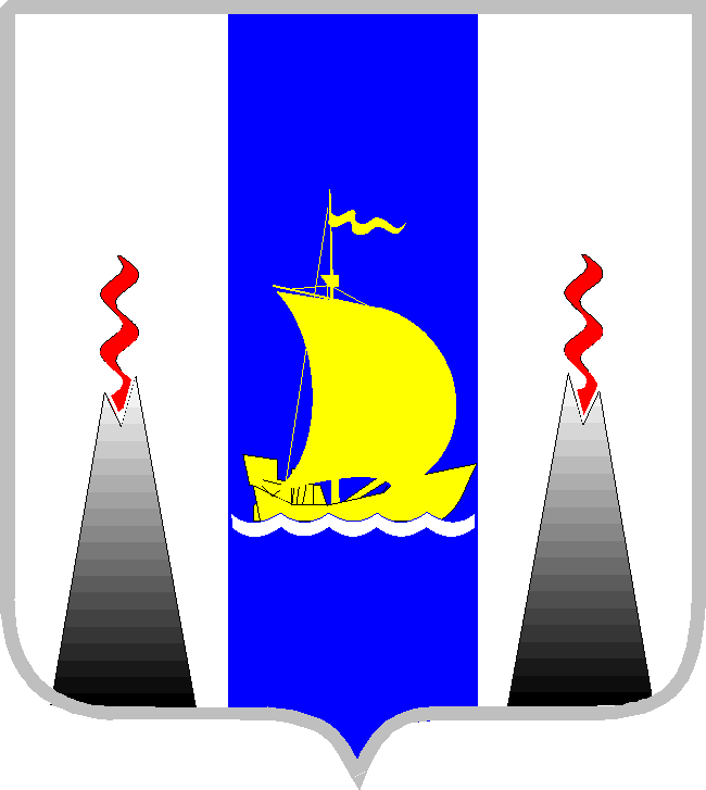
CoatOfArmsLink=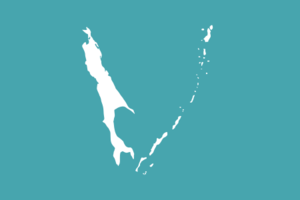
FlagLink=
AnthemLink="None"
AdmCtrOrCapital=Administrative center
AdmCtrName=Yuzhno-Sakhalinsk
FoundationDate=January 2 ,1947
PoliticalStatus=Oblast
PoliticalStatusLink=Oblasts of Russia
FederalDistrict=Far Eastern
EconomicRegion=Far Eastern
CodeNumber=65
Area=87100
AreaRank=
Population=546695
PopulationRank=
UrbanPopulation=86.7%
RuralPopulation=13.3%
LangLangs
LangList=Russian
HeadTitle=Governor
HeadName=Alexander Vadimovich Khoroshavin
PrimeTitle
PrimeName
Legislature=Sakhalin Regional Duma
ConstitutionType=Charter
ConstitutionName=
Website=http://www.sakhalin.ru/Sakhalin Oblast ( _ru. Сахали́нская о́бласть, "Sakhalinskaya oblast") is a federal subject of
Russia (anoblast ) comprising the island ofSakhalin andKuril Islands .The oblast has an area of 87,100 km² and a population of 546,695 (2002 Census). Its administrative center and largest city is
Yuzhno-Sakhalinsk with a population of around 170,000.Besides people from other parts of the former
Soviet Union , Sakhalin is home toNivkhs and Ainu, with the latter having lost their language in Sakhalin recently.Some territories of Sakhalin Oblast (four islands, the southern ones of Kuril archipelago) are claimed by
Japan .Demographics
"Population": 546,695 (2002 Census)
"Ethnic groups": The 460,778 ethnic Russians were by far the largest group, followed by the 29,592 Koreans, 21,831 Ukrainians and a whole host of smaller groups, including 333 Japanese (0.06%). The national composition of the oblast in 2002 was as follows:•
Russians : 84.3%•Koreans : 5.4%•Ukrainians : 4.0%•Tatars : 1.3%•Belarusians : 1.0%•Mordovians : 0.5%•Nivkhs : 0.5%•Chuvash : 0.2%•Armenians : 0.2%• and Azeris: 0.2%,as well as many others, none of them more than 0.2% of the population. All in all, 127 distinct ethnic groups are listed for the oblast (0.3% of the population did not state their nationality during the Census).Time zone
Sakhalin Oblast is located in two different time zones:
#)
#).The only other federal subject of Russia spanning more than one time zone is the
Sakha Republic .History
The
indigenous people of Sakhalin are the Nivkhs, Oroki, and Ainu minorities.Sakhalin became known to Europeans from the travels of
Ivan Moskvitin andMartin Gerritz de Vries in the 17th century, and still better from those ofJean-François de La Pérouse (1787) andIvan Krusenstern (1805). Both, however, regarded it as a peninsula, and were unaware of the existence of theMamiya Strait orStrait of Tartary , which was discovered in 1809 byMamiya Rinzo .Japan unilaterally proclaimed sovereignty over the whole island in 1845. However, the Russian navigator
Gennady Nevelskoy in 1849 definitively recorded the existence and navigability of this strait and — in defiance of Qing claim — Russiansettler s established coal mines, administration facilities, schools, prisons, churches on the island. The Xiazhes were killed or forced to move to the Asian mainland.In 1855, Russia and Japan signed the
Treaty of Shimoda , which declared that both nationals could inhabit the island: Russians in the north, and Japanese in the south, without a clear boundary between. Russia also agreed to dismantle its military base at Ootomari. Following theOpium War , Russia forced the Qing to sign theTreaty of Aigun andConvention of Peking , under which China lost all territories north ofHeilongjiang (Amur ) and east ofUssuri , including Sakhalin, to Russia. ACzar istpenal colony was established in 1857, but the southern part of the island was held by the Japanese until the 1875Treaty of Saint Petersburg (1875) , when they ceded it to Russia in exchange for theKuril islands. After theRusso-Japanese War , Russia and Japan signed theTreaty of Portsmouth of 1905, which resulted in the southern part of the island below 50° N passing to Japan; the Russians retained the other three-fifths of the area. South Sakhalin was administrated by Japan as Karafuto-chō (樺太庁), with the capital Toyohara, now known asYuzhno-Sakhalinsk .In August 1945, the
Soviet Union took over the control of Sakhalin. The Soviet attack on South Sakhalin started onAugust 11 ,1945 , about a month before theSurrender of Japan . The 56th Rifle Corps consisting of the 79th Rifle Division, the 2nd Rifle Brigade, the 5th Rifle Brigade and the 214 Armored Brigade attacked the Japanese 88th Division. Although the Red Army outnumbered the Japanese by three times, they couldn't advance due to strong Japanese resistance. It was not until the 113th Rifle Brigade and the 365th Independent Naval Infantry Rifle Battalion from Sovietskaya Gavan (Советская Гавань) landed on Tōrō (塔路), a seashore village of western Sakhalin onAugust 16 that the Soviets broke the Japanese defense line. Japanese resistance grew weaker after this landing. Actual fighting continued untilAugust 21 and these fighting were petty. FromAugust 22 toAugust 23 , most of the remaining Japanese units announced truce. The Soviets completed the conquest of Sakhalin onAugust 25 ,1945 by occupying the capital of Sakhalin, then known as Toyohara. Japanese sources claim that 20,000 civilians were killed during the invasion.Post-War
Since
January 2 ,1946 , the Sakhalin Region, in its present form, was officially defined and integrated as a part ofRussia . The Japanese who had been living there before mostly repatriated to Japan, but at least one-third of Koreans were refused repatriation; stuck on the island, they and their descendants became known as theSakhalin Koreans .The status of the
Kuril Islands remains disputed. The issue remains a major strain onJapanese-Russian relations . Even now, no official peace treaty has been signed between the two nations.Fact|date=July 2007Japan renounced its claims of sovereignty over southern Sakhalin in the
Treaty of San Francisco (1952), but did not approve Russian sovereignty over it. From Japan's official position, Sakhalin's attribution is not determined yet, and it is marked as No Man's Land on Japanese maps. On the other hand, Japan currently has a Consulate-General in Sakhalin's capital city. Some regard it as a recognition of Russia's sovereignty.Fact|date=July 2007On
May 28 ,1995 , anearthquake measuring 7.5 on the Richter scale occurred, killing 2,000 people of thetown of Neftegorsk.As per the 2002 census, 333 residents of the oblast still identified themselves as ethnic Japanese. Data on Ainu population is not available; "Ainu" may have been either included in the "Other" category or the Ainus may have identified themselves as "Japanese" during the census.
Law and government
The governor Alexander Vadimovich Khoroshavin was appointed
9 August 2007 . [ [http://en.rian.ru/russia/20070809/70679062.html Legislators in Sakhalin appoint Khoroshavin as governor] , RIA, 09/ 08/ 2007]Administrative divisions
References
External links
*ru icon [http://www.adm.sakhalin.ru/ Official website of Sakhalin Oblast]
* [http://www.steam.dial.pipex.com/trains/russia02.htm Steam and the Railways of Sakhalin]
.svg)


Wikimedia Foundation. 2010.