- Manston, Leeds
-
Coordinates: 53°48′27″N 1°26′43″W / 53.80758°N 1.445395°W
Manston 
Manston Park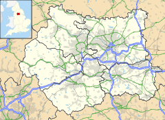
 Manston
Manston shown within West YorkshireMetropolitan borough City of Leeds Metropolitan county West Yorkshire Region Yorkshire and the Humber Country England Sovereign state United Kingdom Post town Leeds Postcode district LS Dialling code 0113 Police West Yorkshire Fire West Yorkshire Ambulance Yorkshire EU Parliament Yorkshire and the Humber UK Parliament East Leeds List of places: UK • England • Yorkshire
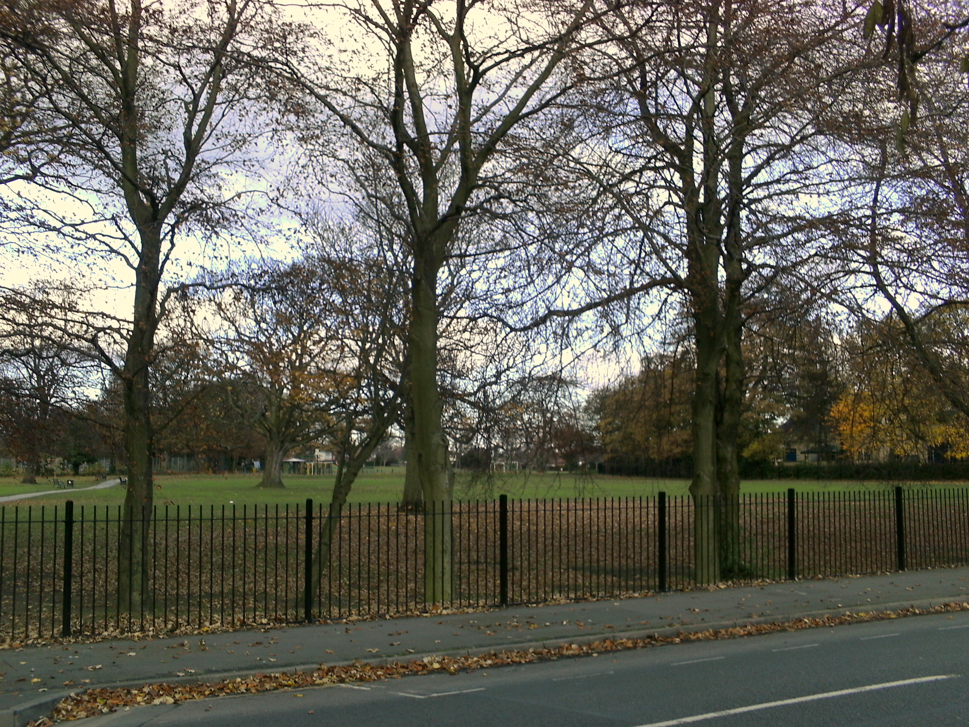
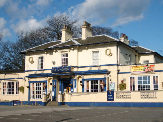
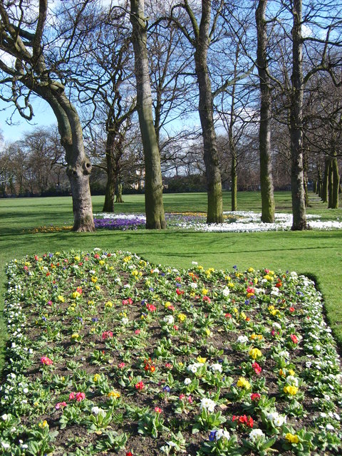
Manston is a small area of Cross Gates, Leeds, England, that lies 4 miles (6 km) to the east of Leeds city centre.Manston is a residential part of Cross Gates. It has its own park, Manston Park, and had a pub named after it, the Manston hotel, which is now known as The Barnbow, next to the park. It has a Parish Church (St. James's) and is also home to three primary schools, Manston Primary, Manston St James's CE Primary and St Theresa's Catholic Primary. Many streets in the area are named after Manston, such as Manston Crescent and Manston Grove. The Leeds Ring Road also passes by the area, providing a vital route into the city centre from Cross Gates.
Comparison
Manston lies in the LS15 postcode area. Here is a population breakdown of the postcode area in comparison with the UK population.
Category LS15 UK average Population density (people / sq mi) 43.2 24.9 Gender split (females / male) 1.05 1.05 Average commute 6.1 miles 8.73 miles Average age 38 39 Home ownership 16% 16.9% Student population 2.4% 4.4% People in good health 69% 69% Gallery
Images of Manston
-
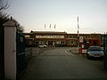
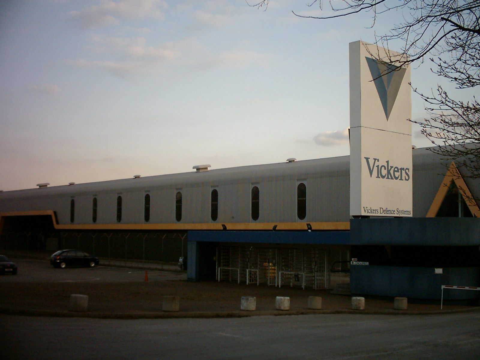
The Vickers works
-
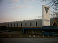
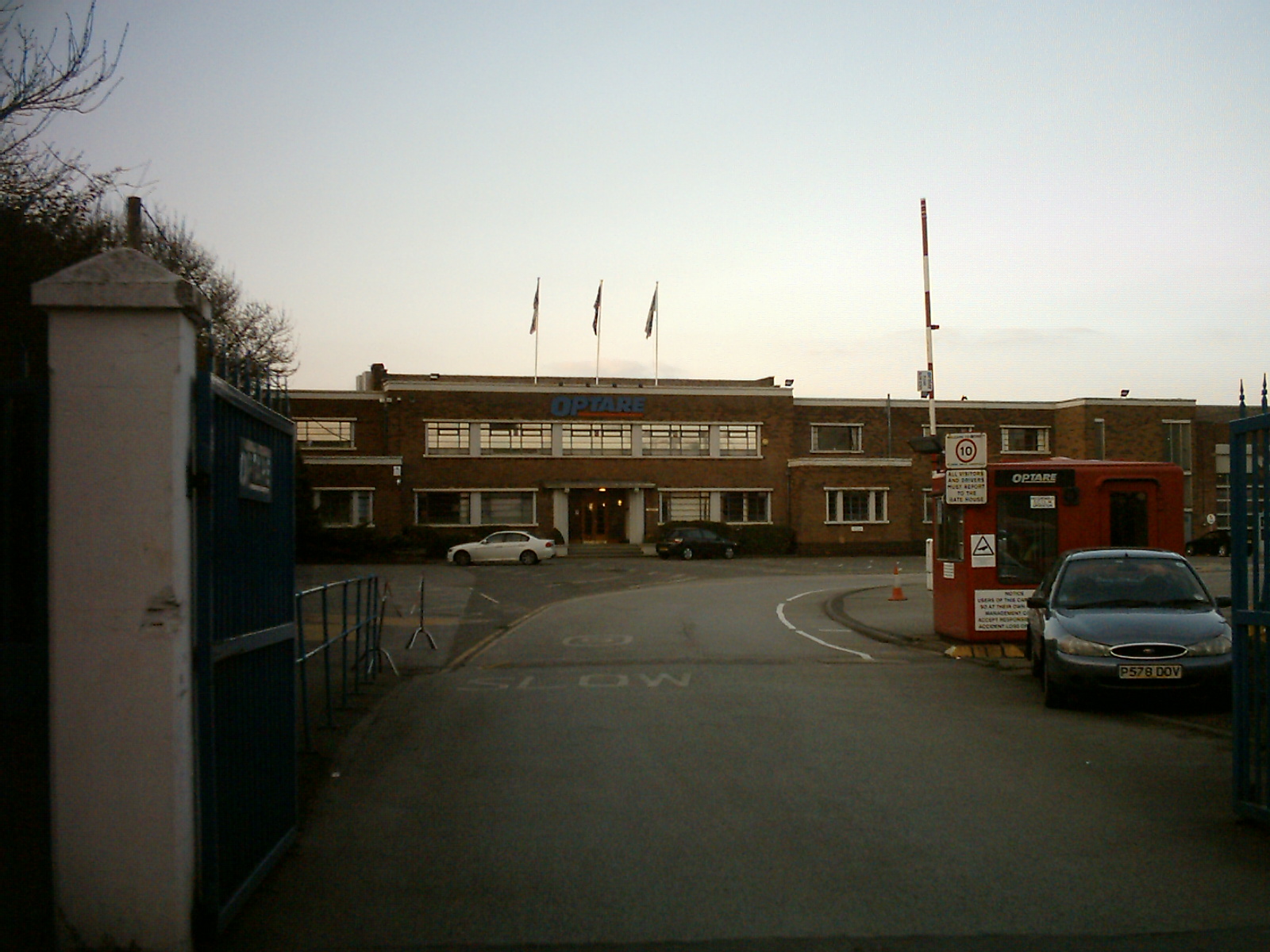
The Optare bus factory in Manston
-
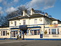
The Manston public house, now called The Barnbow
-
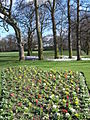
Manston Park
External links
- Map sources for Manston, Leeds
- The Ancient Parish of Whitkirk at GENUKI: Manston was in this parish
Coordinates: 53°48′27″N 1°26′43″E / 53.80758°N -1.445395°W
Categories:- Places in Leeds
- West Yorkshire geography stubs
-

Wikimedia Foundation. 2010.