White River Provincial Park
- White River Provincial Park
Infobox_protected_area | name = White River Provincial Park
iucn_category =
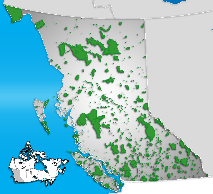
caption = Location of "Whie River Provincial Park" in British Columbia
locator_x = 111
locator_y = 214
location = British Columbia, Canada
nearest_city = Sayward
lat_degrees = 50
lat_minutes = 8
lat_seconds = 29
lat_direction = N
long_degrees = 126
long_minutes = 2
long_seconds = 3
long_direction = W
area = 68 hectares
established = 1995
visitation_num =
visitation_year =
governing_body = BC ParksWhite River Provincial Park is a provincial park in British Columbia, Canada. It is located 27km south of Sayward on Vancouver Island.
Recreation
Fishing and hiking is available within park boundaries. A short loop-trail to the White River allows viewing of giant old-growth Douglas Fir and Western Red Cedar trees. This area has apparently been referred to as the Cathedral Grove of northern Vancouver Island. Kelsey Bay (MacBlo) fallers refused to fall this area in the 1970s and it was left. This did not happen very often.
External links
* [http://www.env.gov.bc.ca/bcparks/explore/parkpgs/whiteriver.html BC Parks - White River Provincial Park]
Wikimedia Foundation.
2010.
Look at other dictionaries:
White Ridge Provincial Park — Infobox protected area | name = White Ridge Provincial Park iucn category = caption = Location of White Ridge Provincial Park in British Columbia locator x = 123 locator y = 227 location = British Columbia, Canada nearest city = Gold River lat… … Wikipedia
White Lake Provincial Park (Ontario) — Infobox protected area | name = White Lake Provincial Park iucn category = II caption = locator x = locator y = location = Ontario, Canada nearest city = White River, Ontario lat degrees = lat minutes = lat seconds = lat direction = long degrees … Wikipedia
Bonnechere River Provincial Park — Infobox protected area | name = Bonnechere River Provincial Park iucn category = II caption = White Mountain Narrows locator x = locator y = location = Ontario, Canada nearest city = Pembroke, Ontario lat degrees = 45 lat minutes = 40 lat seconds … Wikipedia
Marten River Provincial Park — Marten River IUCN Kategorie II … Deutsch Wikipedia
White River — Several towns and rivers are called White River.Africa*The Bakoy River in West Africa, called the White River over a portion of its lengthJamiaca*White River (Ocho Rios)Canada*White River (British Columbia) *White River (Vancouver Island) **White … Wikipedia
Polar Bear Provincial Park — ▪ park, Ontario, Canada wilderness park, northern Ontario, Canada, on Hudson and James bays. A huge undeveloped area of 9,300 square miles (24,087 square km), it is the largest of Ontario s provincial parks; it was established in 1970.… … Universalium
Mount Assiniboine Provincial Park — IUCN Category VI (Managed Resource Protected Area) Mount Assiniboine in 1902 … Wikipedia
Wells Gray Provincial Park — IUCN Kategorie Ia … Deutsch Wikipedia
Cross Lake Provincial Park — Cross Lake Provincial Park … Wikipedia
Mount Robson Provincial Park — IUCN Category II (National Park) … Wikipedia