White Ridge Provincial Park
- White Ridge Provincial Park
Infobox_protected_area | name = White Ridge Provincial Park
iucn_category =
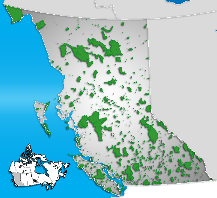
caption = Location of "White Ridge Provincial Park" in British Columbia
locator_x = 123
locator_y = 227
location = British Columbia, Canada
nearest_city = Gold River
lat_degrees = 49
lat_minutes = 46
lat_seconds = 42
lat_direction = N
long_degrees = 125
long_minutes = 58
long_seconds = 25
long_direction = W
area = 1,343 hectares
established =
visitation_num =
visitation_year =
governing_body = BC Parks
White Ridge Provincial Park is a provincial park in British Columbia, Canada, and is located 4km west of Gold River on Vancouver Island.
Geography
Adjoined to Strathcona Provincial Park, White Ridge forms the backdrop for the town of Gold River. It got its name from the white limestone and karst togography of the area.
Recreation
Hiking and wilderness camping are permitted within park boundaries. There may also be potential for caving in the area.
External links
* [http://www.env.gov.bc.ca/bcparks/explore/parkpgs/whiterid.html BC Parks - White Ridge Provincial Park]
Wikimedia Foundation.
2010.
Look at other dictionaries:
Butler Ridge Provincial Park — is a provincial park in British Columbia, Canada. Located on the northern shore of the Peach Reach arm of Williston Lake, 20 km northwest of Hudson s Hope, the park covers an area of 6,694 ha. Within the PEace Foothills ecosection, it includes… … Wikipedia
Wells Gray Provincial Park — IUCN Kategorie Ia … Deutsch Wikipedia
Mount Assiniboine Provincial Park — IUCN Category VI (Managed Resource Protected Area) Mount Assiniboine in 1902 … Wikipedia
Mount Robson Provincial Park — IUCN Category II (National Park) … Wikipedia
Muncho Lake Provincial Park — IUCN Category II (National Park) Muncho Lake Location … Wikipedia
Bon Echo Provincial Park — Infobox protected area | name = Bon Echo Provincial Park iucn category = II caption = Bon Echo Provincial Park entrance locator x = locator y = location = Cloyne, Canada nearest city = lat degrees = 44 lat minutes = 54 lat seconds = 14 lat… … Wikipedia
Provincial Parks in British Columbia — Karte der Provincial Parks in British Columbia Die kanadische Provinz British Columbia unterhält 620 Provincial Parks (Stand: November 2010). Damit besitzt die Provinz nach den kanadischen Nationalparks das größte Parksystem des Landes. Über 13,5 … Deutsch Wikipedia
Neys Provincial Park — IUCN Category II (National Park) Location … Wikipedia
Northern Rocky Mountains Provincial Park — IUCN Category V (Protected Landscape/Seascape) … Wikipedia
Close To The Edge Provincial Park and Protected Area — is a provincial park and a protected area in British Columbia, Canada. Contents 1 History and conservation 2 Location 3 Size 4 … Wikipedia