Oklahoma State Highway 142

Oklahoma State Highway 142

State Highway 142 marker

State Highway 142
Route information
Maintained by ODOT
Length: 4.3 mi (6.9 km)
Major junctions
West end: I-35 (OK).svg Interstate 35 in Ardmore
East end: Oklahoma State Highway 199.svg SH-199 in Ardmore
Highway system

Oklahoma State Highways
Oklahoma turnpike system

SH-141 SH-144

State Highway 142, also known as SH-142 or OK-142, is a 4.3-mile (6.9-kilometer) highway in southern Oklahoma. It serves as a short truck route and bypass around the northern and eastern sections of Ardmore.

Route description

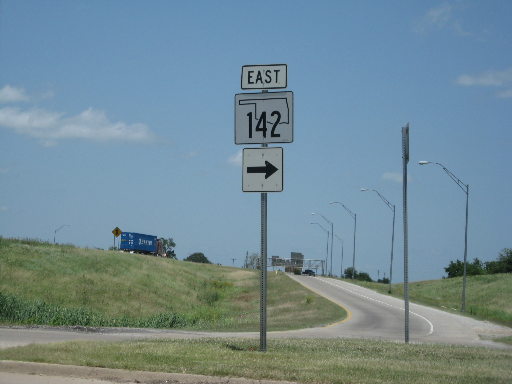
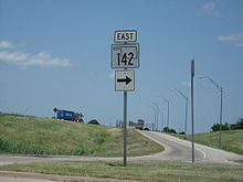
Shield pointing to SH-142 from the I-35 interchange

The highway's western terminus is at I-35 (milemarker 33) in Ardmore. Beginning as a divided highway, it intersects US-77 approximately 1 mile (1.6 kilometers) to the east. From there, SH-142 progresses as a two-lane highway approximately 2 miles (3.2 kilometers), makes a fairly sharp right turn to the south (near the Valero refinery), and terminates 1 mile (1.6 kilometers) to the south at an intersection with State Highway 199.

SH-142 was originally designated as a state highway in 1958 between US-77 on Ardmore's north side and the former US-70 on the east side of the city which is the current S.H. 199. In 1969 when I-35 was completed along the west side of Ardmore, SH-142 was extended a mile further west from US-77 to an interchange with the interstate route. SH-142 in Ardmore is locally designated as Veterans Boulevard.

External links


Wikimedia Foundation. 2010.

Игры ⚽ Нужно сделать НИР?

Look at other dictionaries:

  • Oklahoma State Highway 199 — State Highway 199 Route information Maintained by ODOT Length: 44.1 mi (71.0 km) …   Wikipedia

  • Oklahoma State Highway 141 — State Highway 141 Route information Maintained by ODOT Length: 8.24 mi …   Wikipedia

  • Oklahoma State Highway 144 — State Highway 144 Route information Maintained by ODOT Length: 36.6 mi (58.9 km) …   Wikipedia

  • Oklahoma v. United States Civil Service Commission — Supreme Court of the United States Argued October 17–18 …   Wikipedia

  • Texas State Highway 51 — Infobox TX State Highway type=State route=51 length mi=5.8Texas Department of Transportation, [http://www.dot.state.tx.us/tpp/hwy/sh/sh0051.htm] ] length km=9.3 formed=1974 dir1=West dir2=East from= junction= to= previous type=State previous… …   Wikipedia

  • State highways in Colorado — The standard Colorado state highway sign. The top half is the flag of Colorado. Highway names Interstates: Interstate X (I X) US Routes: U.S. Highway X (US X) …   Wikipedia

  • List of highways numbered 142 — The following highways are numbered 142: Canada Nova Scotia Highway 142 United States Alabama State Route 142 …   Wikipedia

  • Oklahoma — This article is about the U.S. state of Oklahoma. For other uses, see Oklahoma (disambiguation). State of Oklahoma …   Wikipedia

  • Oklahoma — Pour les articles homonymes, voir Oklahoma (homonymie). 35° 30′ N 98° 00′ W / …   Wikipédia en Français

  • Custer County, Oklahoma — Location in the state of Oklahoma …   Wikipedia

Share the article and excerpts

Direct link
Do a right-click on the link above
and select “Copy Link”