- Friese Buurt
Dutch town locator maps
mun_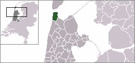
town_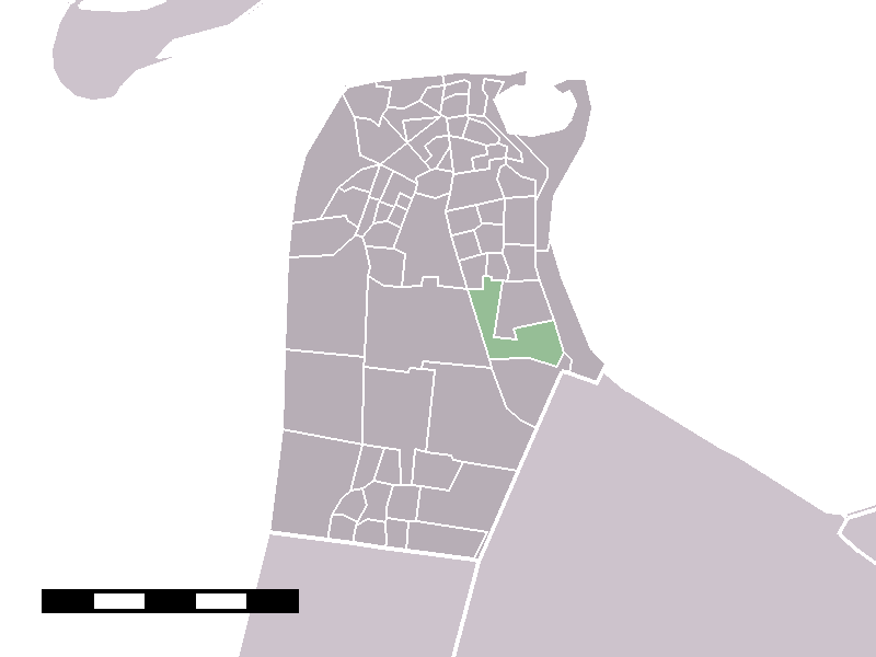
caption = The statistical district of Friese Buurt in the municipality of Den Helder.Friese Buurt is a hamlet in the Dutch province of
North Holland . It is a part of the municipality ofDen Helder , and lies about 3 km south of the Den Helder city centre. The name ("Frisian Neibourhood") refers to the Frisian farmers who moved here after this area was reclaimed from the sea. The statistical district "Friese Buurt", which covers the hamlet and the surrounding countryside, has a population of around 130.Statistics Netherlands (CBS), "Statline: Kerncijfers wijken en buurten 2003-2005" [http://statline.cbs.nl/] . As ofJanuary 1 ,2005 .]References
Wikimedia Foundation. 2010.