- Mount Doongal
-
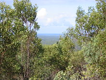 The view from the top looking south-east at February 2006. Thickening vegetation regrowth on the mountain top limited views.
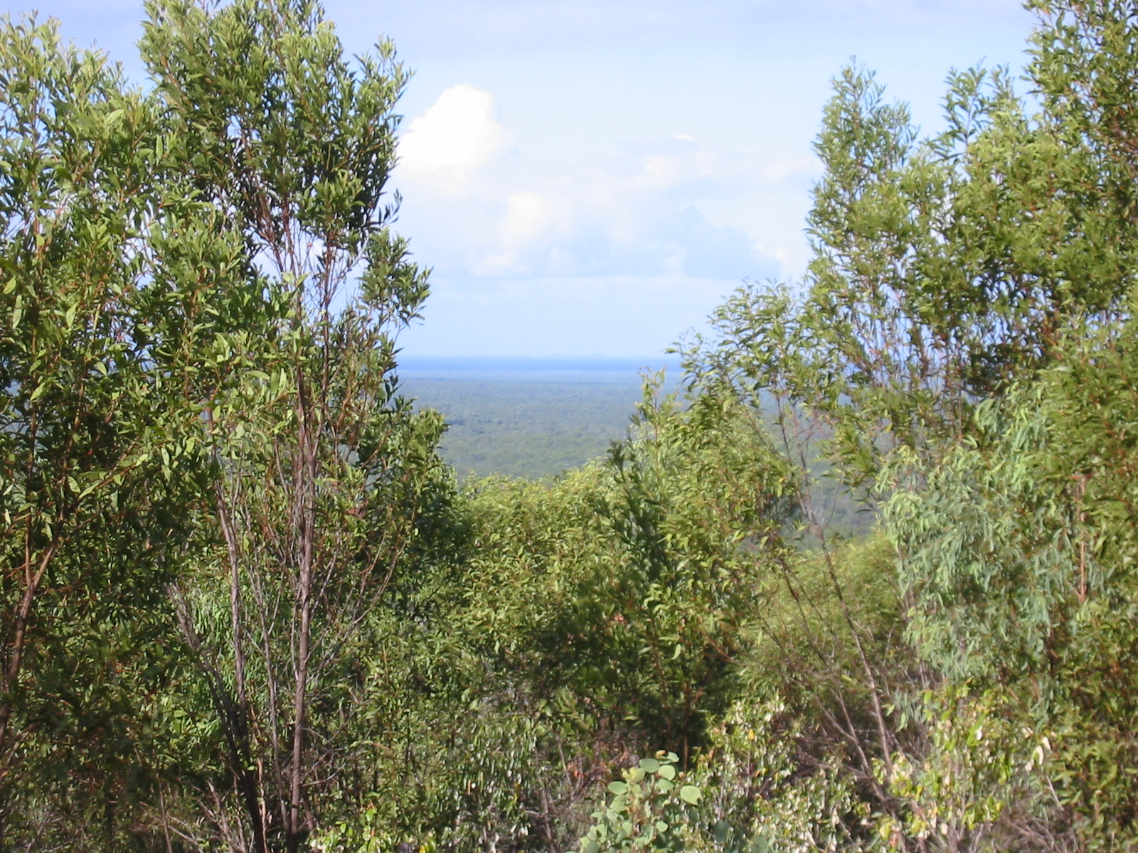
Mount Doongal is a mountain in Queensland state forest north of Maryborough, Australia. The mountain, although not particularly high, is said to offer views to Fraser Island off the southern Queensland coast and north to the town of Childers. Mount Doongal can be reached via the Maryborough-Biggenden Road and then by taking the North Aramara turn-off and following unsealed roads. Mount Doongal's GPS location is 25°29.233′S 152°20.685′E / 25.487217°S 152.34475°E. Elevation, according to a GPS, is around 700 feet above sea level.
See also
Categories:- Mountains of Queensland
- Queensland geography stubs
Wikimedia Foundation. 2010.