- Sincan, Ankara
Infobox Settlement
settlement_type = District
subdivision_type = Country
subdivision_name = vb TUR
subdivision_type1 =Region
subdivision_name1 = Central Anatolia
subdivision_type2 =Province
subdivision_name2 = Ankara
timezone= EET
utc_offset=+2
map_caption =Location of Sincan, Ankara within Turkey.
timezone_DST=EEST
utc_offset_DST=+3
official_name = Sincan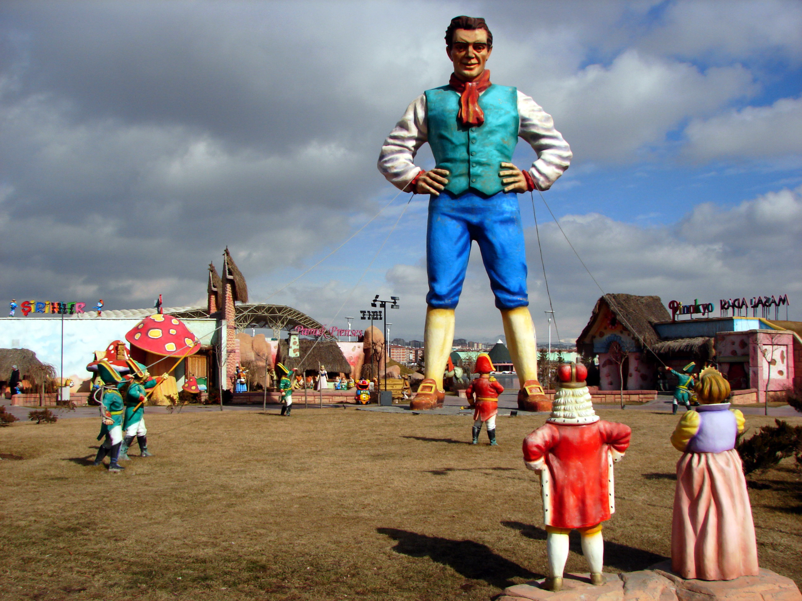
image_caption = "Harikalar Diyarı", an amusement park in Sincan
image_blank_emblem =
blank_emblem_type =
map cTurkey
population_total = 289783
population_urban = 267879
population_as_of = 2000
population_footnotes =
population_density_km2 = 842.39
area_total_km2 = 344
latd = 39
latm = 58
latNS = N
longd = 32
longm = 35
longEW = E
elevation_m = 855
postal_code_type=Postal code
postal_code = 06930
area_code = 0312
blank_info = 06
blank_name=Licence plate
leader_title =Governor
leader_name = Ertan Yüksel
leader_title1 =Mayor
leader_name1 = Hasan Altın
website = [http://www.sincan.gov.tr/ www.sincan.gov.tr]Sincan is a metropolitan district of
Ankara Province in the Central Anatolia region ofTurkey , a large suburban town 27 km from the city ofAnkara . According to 2000 census, population of the district is 289,783 of which 267,879 live in the urban center of Sincan.cite web|url=http://www.die.gov.tr/nufus_sayimi/2000tablo5.xls|title=Census 2000, Key statistics for urban areas of Turkey|accessdate=2008-03-31|author=Turkish Statistical Institute |format=XLS|language=Turkish] [cite web|url=http://www.xist.org/cntry/turkey.aspx?levels=Ic%20Anadolu|title=Statistical information on Turkey's administrative units|accessdate=2008-03-31|author=GeoHive|language=English] The district covers an area of convert|344|km2|sqmi|0|abbr=on, [cite web|url=http://www.statoids.com/ytr.html|title=Statistical information on districts of Turkey|accessdate=2008-05-04|author=Statoids|language=English] and the average elevation is convert|855|m|ft|0|abbr=on.Geography
Sincan stands on a plain surrounded by hills and watered by the Ankara River, a tributary of the
Sakarya River . There is some agriculture and light industry in Sincan but there is a railway line to Ankara and most of the population commute to jobs in the city.The symbol of the municipality is the
tulip , the central square is called "Lale Meydanı" (Turkish for "tulip square"), and every year they have a tulip festival and hand out plastic tulips in the streets.History
Since Sincan stands on the ancient
Silk Road , the name is said to derive fromXinjiang Province in China, where even today some of population speak a Turkish dialect similar to those of the originalCentral Asia n Turkic communities.Fact|date=May 2008Even prior to the period of the
Ottoman Empire a village stood in this location, which subsequently grew to a small town when, in 1950,Mustafa Kemal Atatürk commissioned a housing project here for Turkish refugees fromRomania andBulgaria .In recent years Sincan has grown enormously with rapid immigration from many rural areas of Turkey. The town has especially attracted those with an aggressive conservative and religious outlook, thus Sincan is a stronghold for right-wing clubs, Islamic sects, and Islamist political parties. This was brought to light most famously in the political crisis of February 1997, when tanks rolled through the district (presumably as a warning to the people to respect the pressure being applied to the Islamist government of the time). More recent incidents include the pouring of green paint over the statue of Atatürk in the central square.
Well-known residents
* Şafak Sezer, actor and comedian
*Sinan Şamil Sam , professional boxer
* Abdürrahim Karakoç, poet
*Oğuz Yılmaz , folk musicianee also
*
1997 Turkish coup d'état Notes
References
*
*External links
* [http://www.sincan.gov.tr/ District governor's official website] tr icon
* [http://www.sincan.bel.tr/ District municipality's official website] tr icon
* [http://www.sincanhaber.com/ Local news website] tr icon

Wikimedia Foundation. 2010.