- Altınözü
Infobox Settlement
settlement_type = District
subdivision_type = Country
subdivision_name = TUR
timezone=EET
utc_offset=+2
map_caption =Location of PAGENAME within Turkey.
timezone_DST=EEST
utc_offset_DST=+3official_name = Altınözü
image_caption =
image_blank_emblem =
blank_emblem_type =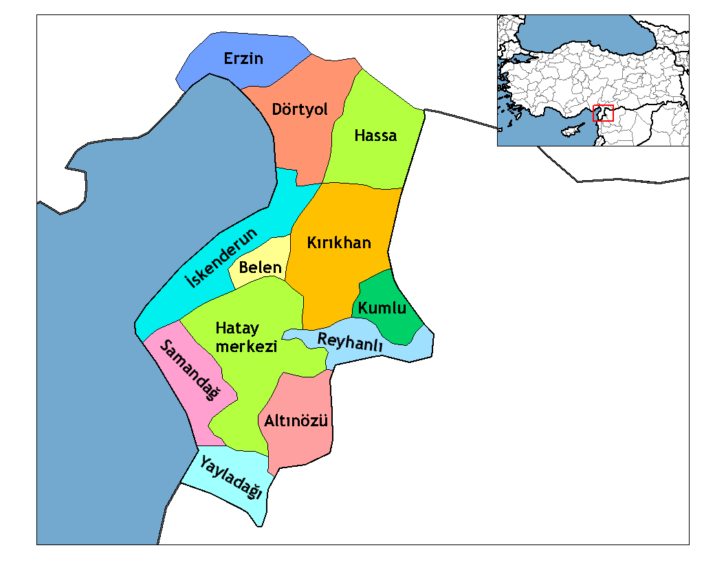
subdivision_type1=Region
subdivision_name1 = Mediterranean
subdivision_type2=Province
subdivision_name2 = Hatay| population_total = 59167|population_footnotes=
total population| = 59,167
population_urban = 5352|population_footnotes=
population_as_of =| population_footnotes = 2000
population_density_km2 =
area_total_km2 = 325|elevation_m = 202|latd = 36
latm = 07
latNS = N
longd = 36
longm = 15
longEW = E
postal_code_type=Postal code
postal_code = 31
blank_info = 31|blank_name=Licence plate
area_code = (0)326
leader_name =
website =
leader_name1 =
gwebsite =Altınözü is a district in the south-east of
Hatay Province ofTurkey , on the border between Turkey andSyria .Etymology
The area was previously known as "Kuseyr" a derivation from "kasr" the
Arabic word for castle.Geography
Altınözü stands on the
Kuseyr plateau and is an area of good farmland, used for growingolives (the largest olive growing area in this part of Turkey) and alsotobacco , grains and other crops. The district is watered by theYarseli reservoir.Altınözü itself is a small town of 5,352 people.
External links
* [http://www.altinozu.ilcesi.com/ local information, follow "galeri" for photos]
Wikimedia Foundation. 2010.