- Mittweida (district)
-
Mittweida — District — 
Country  Germany
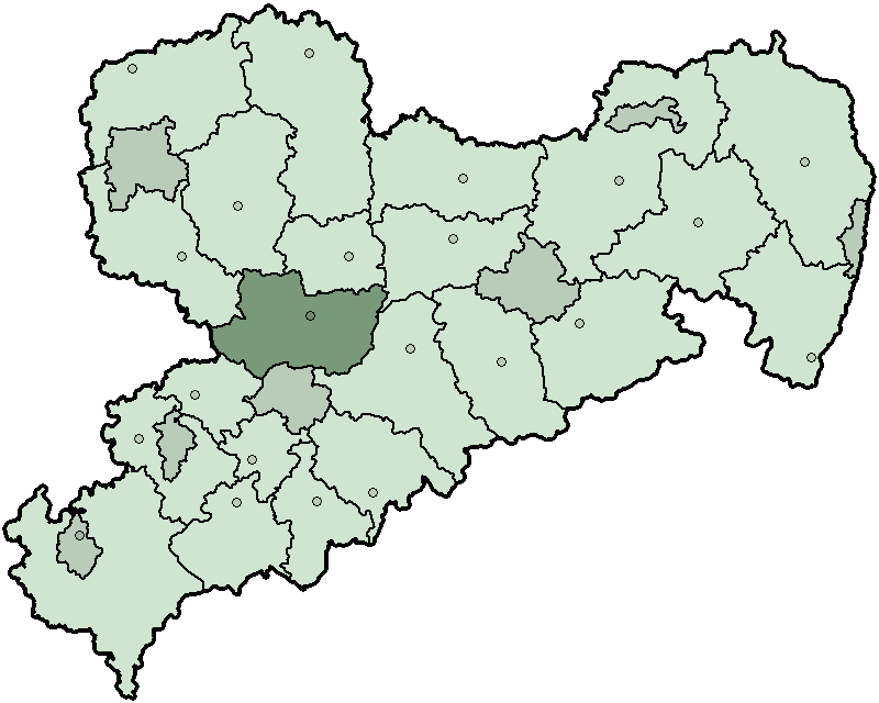
State Saxony Adm. region Chemnitz Disbanded 2008-08-01 Capital Mittweida Area - Total 773.18 km2 (298.5 sq mi) Population (2001) - Total 136,684 - Density 176.8/km2 (457.9/sq mi) Time zone CET (UTC+1) - Summer (DST) CEST (UTC+2) Vehicle registration MW Website http://www.landkreis-mittweida.de Mittweida (German pronunciation: [mɪtˈvaɪda]) is a former district in the Free State of Saxony, Germany. It was bounded by (from the north and clockwise) the districts Muldentalkreis, Döbeln, Freiberg, the district-free city Chemnitz and the district Chemnitzer Land, the district Altenburger Land in Thuringia and the district Leipziger Land.
Contents
History
In 1994 the district was created, when the previous districts Hainichen, Rochlitz and part the district Chemnitz were merged. In August 2008, as a part of the district reform in Saxony, the districts of Döbeln, Freiberg and Mittweida were merged into the new district Mittelsachsen.
Geography
The district was located in the foothills of the Ore Mountains, only the area in the northwest around Rochlitz belongs to the lowlands around Leipzig (Leipziger Tieflandsbucht). In this area is also the lowest elevation with 144 m above sea level; the highest elevation is in Hausdorf (part of Frankenberg) with 488 m. The three main rivers in the district are the Zwickauer Mulde, Chemnitz and Zschopau.
Coat of arms
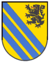
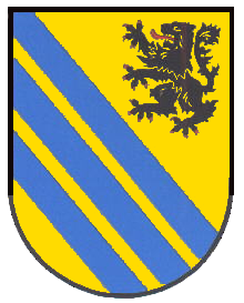
The coat of arms show the lion of Meißen in the topright corner, as most of the district area belonged to Meißen historically. The three blue bars symbolize the three main rivers of the district: Zwickauer Mulde, Chemnitz and Zschopau river. Towns and municipalities
Cities Municipalities Municipalities - Altmittweida
- Claußnitz
- Erlau
- Hartmannsdorf
- Königsfeld
- Königshain-Wiederau
- Kriebstein
- Lichtenau
External links
 Media related to Landkreis Mittweida at Wikimedia Commons
- Official website (German)
 Urban and rural districts in the Free State of Saxony in Germany
Urban districts Rural districts Former urban districts Former rural districts Annaberg · Aue-Schwarzenberg · Chemnitzer Land · Delitzsch · Döbeln · Freiberg · Kamenz · Leipziger Land · Löbau-Zittau · Mittlerer Erzgebirgskreis · Mittweida · Muldentalkreis · Niederschlesischer Oberlausitzkreis · Riesa-Großenhain · Sächsische Schweiz · Stollberg · Torgau-Oschatz · Weißeritzkreis · Zwickauer LandCategories:- Former districts of Saxony
Wikimedia Foundation. 2010.