- Karachayevsk
-
Coordinates: 43°46′23″N 41°55′1″E / 43.77306°N 41.91694°E
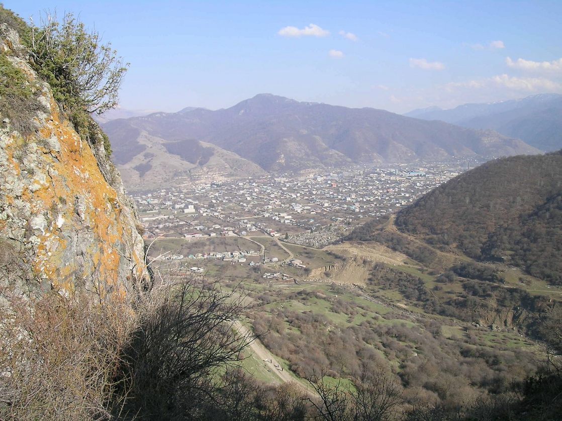
 View of the town and neighboring mountains
Karachayevsk (Russian: Карача́евск) is a town in the Karachay-Cherkess Republic, Russia, located on the Kuban River in the Caucasus Mountains. Population: 23,848 (2010 Census preliminary results);[1] 22,113 (2002 Census);[2] 21,582 (1989 Census).[3]
It was founded in 1929 as Georgievskoye and was soon renamed after Anastas Mikoyan as Mikoyan-Shahar. From October 5, 1944 to January 1, 1957, when the Karachays were in exile to the Central Asian deserts, it was part of the Georgian SSR as Klukhori.
The vicinity is rich in early medieval monuments, such as the ruins of Skhimar and the early 10th-century Shoana Church.
References
- ^ Федеральная служба государственной статистики (Federal State Statistics Service) (2011). "Предварительные итоги Всероссийской переписи населения 2010 года (Preliminary results of the 2010 All-Russian Population Census)" (in Russian). Всероссийская перепись населения 2010 года (All-Russia Population Census of 2010). Federal State Statistics Service. http://www.perepis-2010.ru/results_of_the_census/results-inform.php. Retrieved 2011-04-25.
- ^ Федеральная служба государственной статистики (Federal State Statistics Service) (2004-05-21). "Численность населения России, субъектов Российской Федерации в составе федеральных округов, районов, городских поселений, сельских населённых пунктов – районных центров и сельских населённых пунктов с населением 3 тысячи и более человек (Population of Russia, its federal districts, federal subjects, districts, urban localities, rural localities—administrative centers, and rural localities with population of over 3,000)" (in Russian). Всероссийская перепись населения 2002 года (All-Russia Population Census of 2002). Federal State Statistics Service. http://www.perepis2002.ru/ct/doc/1_TOM_01_04.xls. Retrieved 2010-03-23.
- ^ "Всесоюзная перепись населения 1989 г. Численность наличного населения союзных и автономных республик, автономных областей и округов, краёв, областей, районов, городских поселений и сёл-райцентров. (All Union Population Census of 1989. Present population of union and autonomous republics, autonomous oblasts and okrugs, krais, oblasts, districts, urban settlements, and villages serving as district administrative centers.)" (in Russian). Всесоюзная перепись населения 1989 года (All-Union Population Census of 1989). Demoscope Weekly (website of the Institute of Demographics of the State University—Higher School of Economics. 1989. http://demoscope.ru/weekly/ssp/rus89_reg.php. Retrieved 2010-03-23.
Administrative divisions of the Karachay-Cherkess Republic Capital: Cherkessk
Cities and towns 
Districts Abazinsky · Adyge-Khablsky · Karachayevsky · Khabezsky · Malokarachayevsky · Nogaysky · Prikubansky · Urupsky · Ust-Dzhegutinsky · ZelenchukskyCategories:- Cities and towns in Karachay-Cherkessia
- Populated places established in 1929
- History of Georgia (country)
Wikimedia Foundation. 2010.