- Triangle, Zimbabwe
Infobox Settlement
official_name = Triangle, Zimbabwe
other_name =
native_name = 'Tiranku'
nickname =
settlement_type = Town, City.
motto =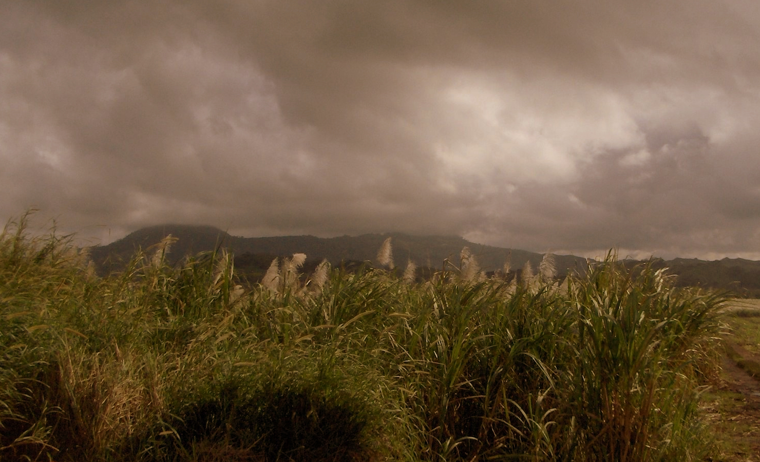
imagesize = 400px
image_caption = A field of sugarcane owned byTriangle Ltd. , the main land owner in the small town.
flag_size =
image_
seal_size =
image_shield =
shield_size =
image_blank_emblem =
blank_emblem_type =
blank_emblem_size =
mapsize =
map_caption =
mapsize1 =
map_caption1 =
image_dot_
dot_mapsize =
dot_map_caption =
dot_x = |dot_y =
pushpin_
pushpin_label_position =
pushpin_map_caption =
pushpin_mapsize =100
subdivision_type = Country
subdivision_name =Zimbabwe
subdivision_type1 = Province
subdivision_name1 = Masvingo
subdivision_type2 = District
subdivision_name2 = Chiredzi
subdivision_type3 =
subdivision_name3 =
subdivision_type4 =
subdivision_name4 =
government_footnotes =
government_type =
leader_title =
leader_name =
leader_title1 =
leader_name1 =
leader_title2 =
leader_name2 =
leader_title3 =
leader_name3 =
leader_title4 =
leader_name4 =
established_title = Established
established_date = late19th Century
established_title2 =
established_date2 =
established_title3 =
established_date3 =area_magnitude =
unit_pref =
area_footnotes =
area_total_km2 =
area_land_km2 =
area_water_km2 =
area_total_sq_mi =
area_land_sq_mi =
area_water_sq_mi =
area_water_percent =
area_urban_km2 =
area_urban_sq_mi =
area_metro_km2 =
area_metro_sq_mi =
area_blank1_title =
area_blank1_km2 =
area_blank1_sq_mi =population_as_of =
2002
population_footnotes =
population_note = estimated
population_total =
population_density_km2 =
population_density_sq_mi =
population_metro =
population_density_metro_km2 =
population_density_metro_sq_mi =
population_urban =
population_density_urban_km2 =
population_density_urban_sq_mi =
population_blank1_title =
population_blank1 =
population_density_blank1_km2 =
population_density_blank1_sq_mi =
timezone = CET
utc_offset = +1
timezone_DST = CEST
utc_offset_DST = +1
latd=21 |latm=05 |lats= |latNS=S
longd=31 |longm=40 |longs= |longEW=E
elevation_footnotes =
elevation_m =
elevation_ft =
postal_code_type =
postal_code =
area_code =
blank_name =
blank_info =
blank1_name =
blank1_info =
website =
footnotes =Triangle is a small town in
Masvingo Province ,Zimbabwe and is located 125km south-east fromMasvingo , betweenNgundu Growth Point andChiredzi . The town is located inChiredzi (District) , one of the seven districts of Masvingo province.Background
The town developed around
Triangle Estate .Tongaat Hulett 's Triangle Estate is Zimbabwe's 2nd largestirrigation scheme, rivalingHippo Valley Estate .Triangle Estate
In the company's fields, 13,500ha of
sugar cane andcotton are under irrigation and there is a largesugar mill on the estate. Sugar cane was first planted in the region in1931 byThomas Murray McDougall and was first processed in1939 . Due to economic decline the country is going through, like atHippo Valley , production of sugar has fallen in recent years. the company has been compounded by a large body of displaced farmers who have settled on some of its procutive fields, further hampering prodution. [Sugar production falls [http://www.zimonline.co.za/Article.aspx?ArticleId=2808] (accessed 03/02/2008)]Population
The town has a mix of ethnicities, dominated by the Karanga from nearby districts like Mwenezi and the
Shangane s from within the district of Chiredzi. The majority of the town's residents are employed by the company, working mostly as cane cutters.Sports
First-class cricket has been played in Triangle, at the well established cricket venue located in the town.
References

Wikimedia Foundation. 2010.