St Jude's Church, Hampstead Garden Suburb
- St Jude's Church, Hampstead Garden Suburb
Infobox church
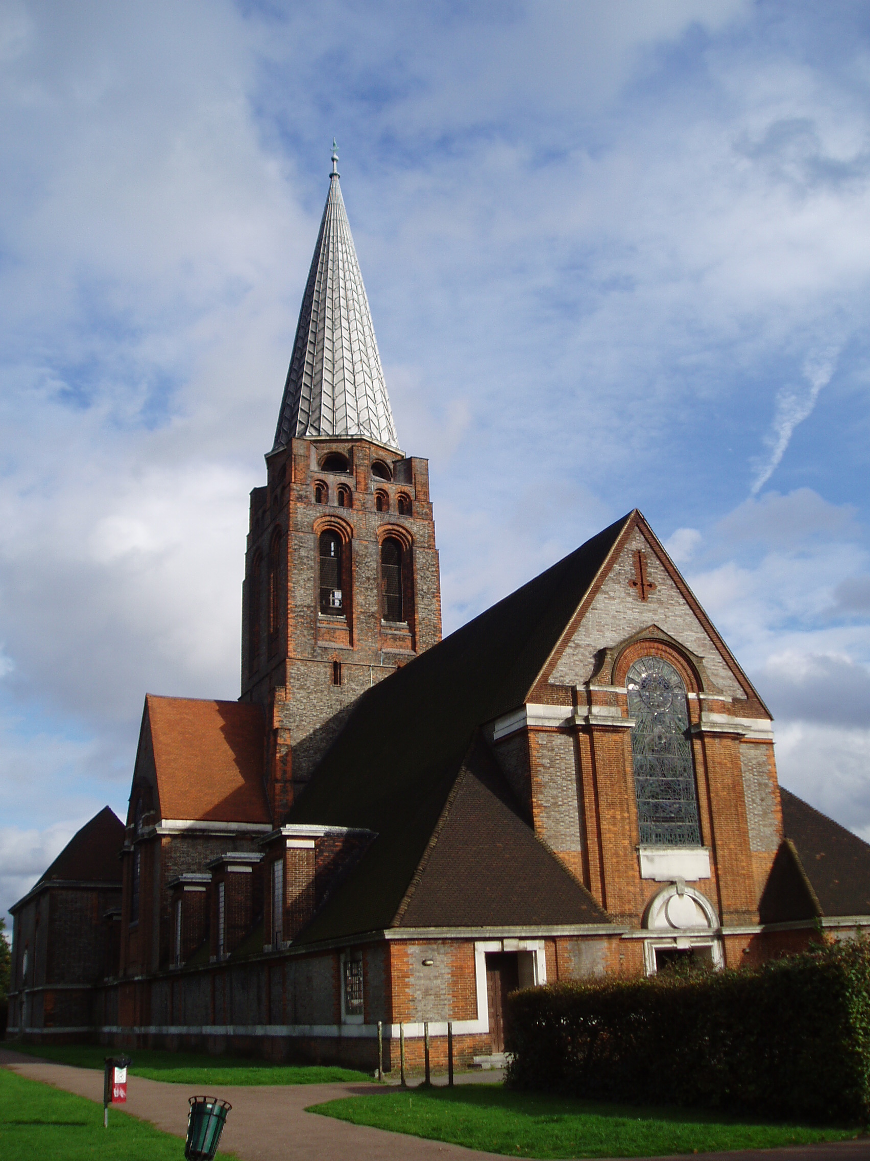
name = St. Jude's Church, Hampstead Garden Suburb
fullname =
color =
imagesize =
caption = Photo of St. Jude's
landscape =
denomination = Anglican
diocese =
parish =
division =
subdivision =
founded_date =
founder =
architect = Edward Lutyens
style =
constructed_date = 1908
dedicated_date =
closed_date =
demolished_date =
bishop =
priest =
archdeacon =
dean =
provost =
rector =
canon =
prebendary =
curate =
chaplain =
vicar =
deacon =
abbot =
minister =
seniorpastor =
pastor =
address = London
country = United Kingdom
phone =
website =
The Parish Church of St Jude-on-the-Hill is a building located in Hampstead Garden Suburb, Barnet, London. It was built to a design by Sir Edwin Lutyens in 1908-1910, and, like the Free Church on the opposite side of Central Square, is a Grade I listed building.
External link
* [http://www.stjudes.org.uk/ Church official website]
Wikimedia Foundation.
2010.
Look at other dictionaries:
Free Church, Hampstead Garden Suburb — Infobox church name = Free Church, Hampstead Garden Suburb fullname = color = imagesize = caption = landscape = denomination = diocese = parish = division = subdivision = founded date = founder = architect = style = constructed date = dedicated… … Wikipedia
Hampstead Garden Suburb — infobox UK place country = England map type = Greater London region= London population= static official name= Hampstead Garden Suburb latitude= 51.5811 longitude= 0.1733 constituency westminster= Finchley Golders Green post town= LONDON postcode… … Wikipedia
Christ Church, Hampstead — Christ Church, Hampstead … Wikipedia
St Pancras Old Church — St. Pancras Old Church St Pancras Old Church Denomination Anglican St Pancras Old Church is a Church of England parish church in central London. It is believed to be one of the oldest sites of … Wikipedia
Crown Court Church — Coordinates: 51°30′48″N 0°7′16″W / 51.51333°N 0.12111°W / 51.51333; 0.12111 … Wikipedia
Chelsea Old Church — Coordinates: 51°28′59″N 0°10′15″W / 51.48306°N 0.17083°W / 51.48306; 0.17083 … Wikipedia
All Saints Church, Poplar — Coordinates: 51°30′35″N 0°0′44″W / 51.50972°N 0.01222°W / 51.50972; 0.01222 … Wikipedia
All Souls Church, Langham Place — All Souls Church Country United Kingdom Denomination Church of England … Wikipedia
Christ Church, Spitalfields — is an Anglican church built between 1714 and 1729 to a design by Nicholas Hawksmoor. Situated on Commercial Street, in the London Borough of Tower Hamlets, on the eastern border and facing the City of London, it was one of the first (and arguably … Wikipedia
St Pancras New Church — For the saint after whom this church is named, see Pancras of Rome. There is a list of other places named after him at St Pancras. St Pancras New Church St Pancras New Church Present Day Country … Wikipedia