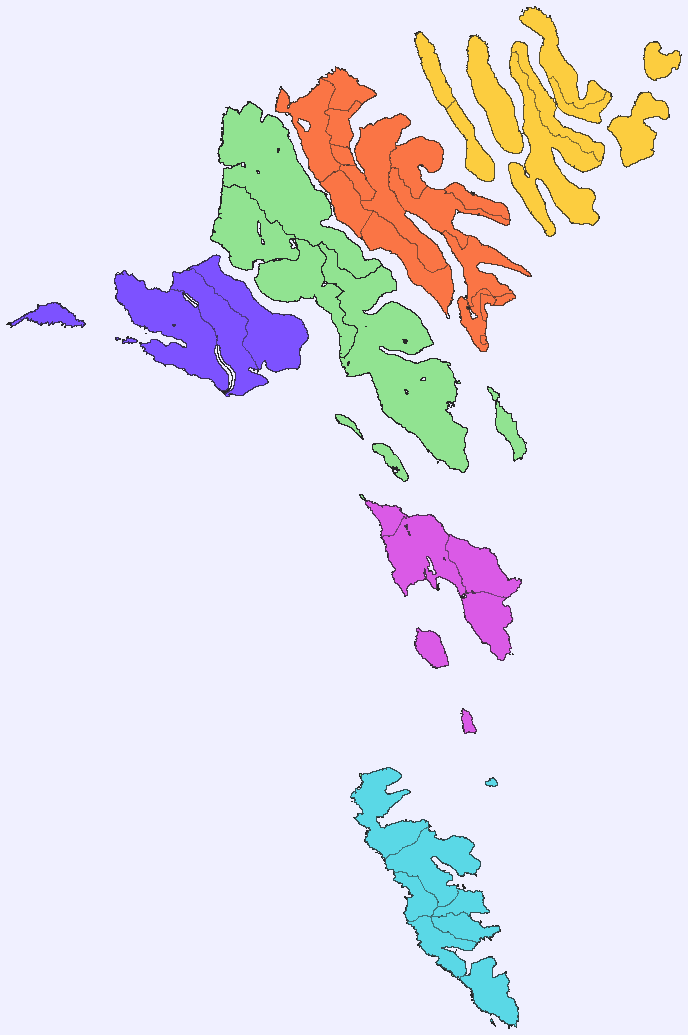
Norðoyar

Norðoyar

Northern Isles shown in yellow.

The six islands in the northeast of the Faroe Islands are together referred to as Norðoyar, i.e. the Northern Isles (Danish: Norderøerne). These Islands are Kalsoy, Kunoy, Borðoy, Viðoy, Svínoy and Fugloy. Klaksvík is regarded as the natural capital of this region. Norðoyar is sometimes spelled Norðoyggjar.

Further reading

  • Christiansen, Hans T., Rói Patursson, and Sörensen Björn. Norðoyar. Stockholm: Informationsgruppen AB, 1989. ISBN 9186004778

Coordinates: 62°16′55″N 6°32′35″W / 62.282°N 6.543°W / 62.282; -6.543


Wikimedia Foundation. 2010.

Игры ⚽ Поможем решить контрольную работу

Look at other dictionaries:

  • Norðoyar — (Norðoyar) Islas Feroe. Norðoyar se muestra en amarillo. Localización geográfica / administrativa …   Wikipedia Español

  • Norðoyar — Buslinien und Fährverbindungen auf den Nordinseln Die Nordinseln (färöisch: Norðuroyggjar oder Norðoyar, dänisch: Norderøerne) bezeichnen eine aus sechs Inseln bestehende Region der Färöer. Die Nordinseln sind ein sogenanntes Syssel… …   Deutsch Wikipedia

  • Norðdepil — village on Borðoy island and Hvannasund village on Viðoy island (Photo: Erik Christensen) Norðdepil (pronounced [ˈnɔɹːdeːpɪl]; older Danish spelling: Norddeble) is a town on the island of Borðoy in the Norðoyar Region of the Faroes. Population:… …   Wikipedia

  • Norðoyggjar — Buslinien und Fährverbindungen auf den Nordinseln Die Nordinseln (färöisch: Norðuroyggjar oder Norðoyar, dänisch: Norderøerne) bezeichnen eine aus sechs Inseln bestehende Region der Färöer. Die Nordinseln sind ein sogenanntes Syssel… …   Deutsch Wikipedia

  • Norðstreymoy — Karte über die Schiffsregisterkennzeichen der einzelnen färöischen Regionen. Nordstreymoy ist hellgrün. Das Kennzeichen VN steht für Vestmannahavn (dänischer Name von Vestmanna). Norðstreymoy [noːrstrɛimi] „Nordstreymoy“ ist die Region im Norden… …   Deutsch Wikipedia

  • Holme der Färöer — Inseln Regionen der Färöer Die 18 Inseln der Färöer werden in folgender Tabelle nach ihrer Landfläche aufgelistet. Der Stand der Bevölkerungszahlen datiert vom 1. Januar 2007. Name Fläche [km²] Einwohner Ew./km² Hauptort(e) Syssel (Region) …   Deutsch Wikipedia

  • Inseln der Färöer — Inseln Regionen der Färöer Die 18 Inseln der Färöer werden in folgender Tabelle nach ihrer Landfläche aufgelistet. Der Stand der Bevölkerungszahlen datiert vom 1. Januar 2007. Name Fläche [km²] Einwohner Ew./km² Hauptort(e) Syssel (Region) …   Deutsch Wikipedia

  • Liste färöischer Inseln — Inseln Regionen der Färöer Die 18 Inseln der Färöer werden in folgender Tabelle nach ihrer Landfläche aufgelistet. Der Stand der Bevölkerungszahlen datiert vom 1. Januar 2007. Name Fläche [km²] Einwohner Ew./km² Hauptort(e) Syssel (Region) …   Deutsch Wikipedia

  • Islas Feroe — Føroyar Færøerne Islas Feroe Región autónoma de Dinamarca …   Wikipedia Español

  • Demographics of the Faroe Islands — This article is about the demographic features of the population of the Faroe Islands, including population density, ethnicity, education level, health of the populace, economic status, religious affiliations and other aspects of the population.… …   Wikipedia

Share the article and excerpts

Direct link
Do a right-click on the link above
and select “Copy Link”