- Hestur
Island of the Faroe Islands
name = Hestur
municipality =
area = 6,1
area_rank = 15
population = 34
population_rank = 13
population_year = 2007
population_density = 5,5
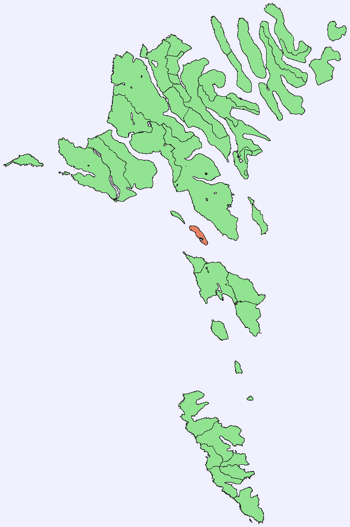
location = coord|61|57|27|N|6|53|13|W||Hestur is an island in central
Faroe Islands , located to the west ofStreymoy and to the south ofKoltur . "Hestur" means "horse" in Faroese. Located on the west coast is a large colony ofguillemot . In the north of Hestur there is a moorland with four small lakes, of whichFagradalsvatn is the largest. At Haelur, Hestur's southern-most tip, there is alighthouse .The island has one settlement, also named Hestur on the east coast. Hestur village (coord|61|57|27|N|6|53|13|W|) enjoys the view over
Gamlarætt andVelbastaður on Streymoy. In 1919 a fishing accident resulted in the deaths of one-thirds of Hestur's men. In an attempt to fight the depopulation of the village, a swimming pool was built on the island in 1974. On the southern part of the island by the lake Fagradalsvatn, one can camp. Hestur's postal code is FO 280 and it's since1 January 2005 part of the municipality of Tórshavn.Mountains
The island has the following four mountains
See also
*
List of towns in the Faroe Islands External links
* [http://faroeislands.dk/pages/HesturIndex.htm Maps of Hestur Island]
* [http://www.tourist.fo/default.asp?l=EN Official site of Faroe Islands]
* [http://heima.olivant.fo/%7Eanfinn/hestoy.htm personal website] with 6 aerial photos of Hestur
Wikimedia Foundation. 2010.