- Muktainagar
-
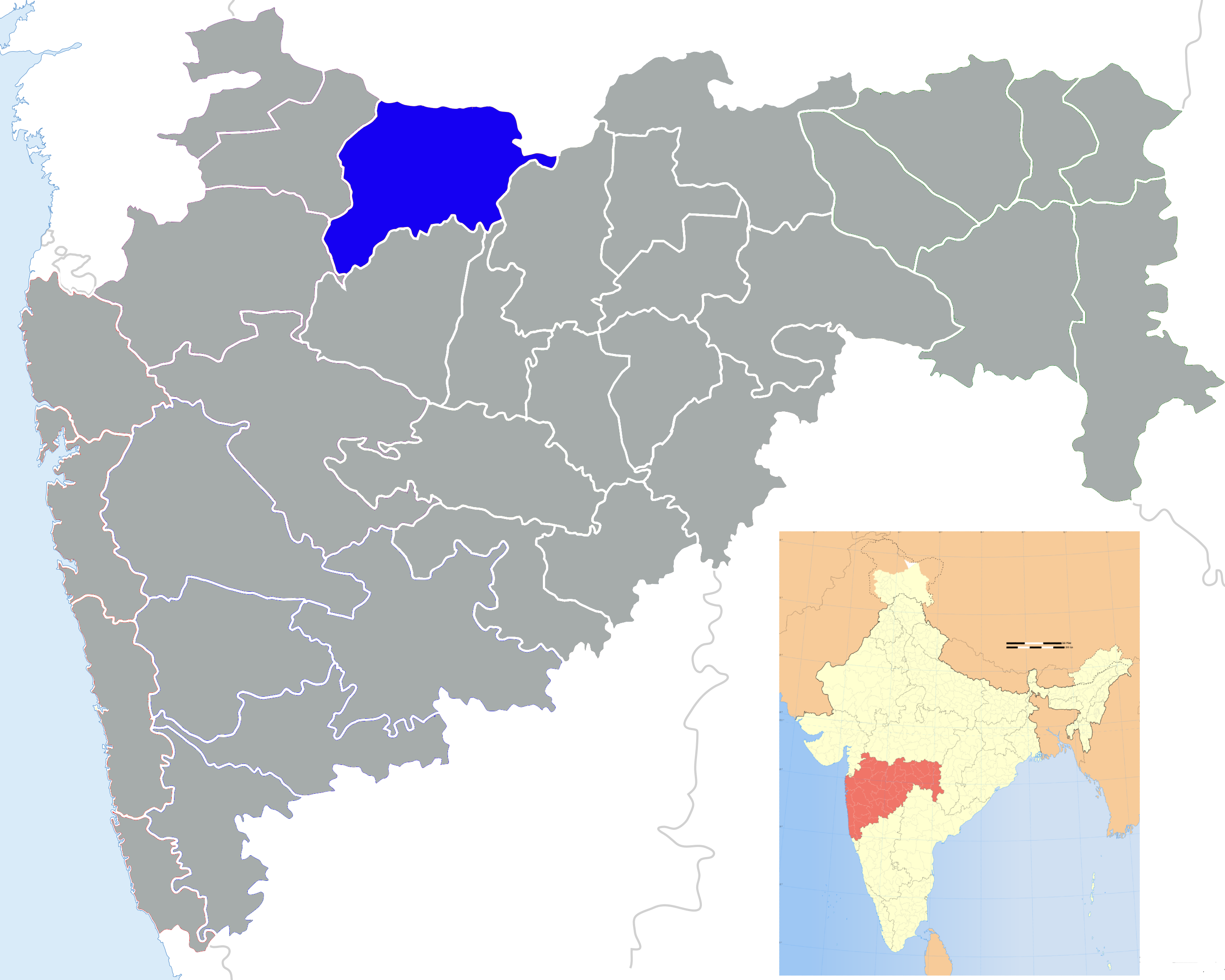
Muktainagar — town — Coordinates 21°3′8″N 76°3′18″E / 21.05222°N 76.055°ECoordinates: 21°3′8″N 76°3′18″E / 21.05222°N 76.055°E Country India State Maharashtra District(s) Jalgaon Nearest city Bhusawal Parliamentary constituency Raver Assembly constituency Muktainagar Time zone IST (UTC+05:30) Muktainagar (Marathi: मुक्ताईनगर) (earlier known as Edlabad) is a small town situated (~21°03’08”N 76°03’18”E) on National Highway No. 6 and now become the Ashian Highway 46 (AH-46) at the northern border of Maharashtra in India. Muktainagar is famous for its association with Muktai, younger sister of saint Dnyaneshwar, who attained Samādhi on the banks of Tapti River at a place called Mehun (15 km from Muktainagar).
Contents
Demographics
It is one of the 15 Tehsils of Jalgaon District also known as Khandesh, and is in the Bhusawal subdivision for administration purpose. Muktainagar has a population of about 50,000. It is surrounded by borders of Malkapur (Vidarbha Region), Bhusawal, Bodwad Tehsils and the Madhya Pradesh state border. Jalgaon is located 60 km from Muktainagar.
Economy
Agriculture and religious tourism happen to the source of earnings of most people. Cotton, jowar and groundnuts are the predominant crops grown in the tehsil. Banana crop is also cultivated on the banks of the Tapi and Purna rivers passing through the tehsil.Sant Muktabai Sahakari Sakhar Karkhana a cooperative sugar factory founded by Pratibha Patil is located here.
Culture
The Great Adarsh English Medium School
Politics
Recently Muktainagar is in limelight as current Hon. President of India Shrimati Pratibha Patil who also happen to be the First Lady President of India,started her political career from the Muktainagar (then known as "Edlabad") costituency in the early 60's & was associated with it for quite a long time. Muktainagar also known with well education. Opposition minister State Of Maharastra Shri. Eknath Khadse is MLA of Muktainagar. He elected since 17 years from its. Muktainagar gave good political leder to Maharastra as well as India
Jalgaon district topics History 
Cities and towns Education Lok Sabha constituencies Jalgaon · RaverVidhan Sabha constituencies Amalner · Bhusawal · Chalisgaon · Chopda · Erandol · Jalgaon City · Jalgaon Rural · Jamner · Muktainagar · Pachora · RaverCategories:- Cities and towns in Jalgaon district
- Talukas in Maharashtra
- Nashik Division geography stubs


Wikimedia Foundation. 2010.