- Bangor, Wisconsin
:"This article is about the village of Bangor in Wisconsin, USA. For other places named Bangor, see
Bangor ."Infobox Settlement
official_name = Bangor, Wisconsin
settlement_type =Town
nickname =
motto =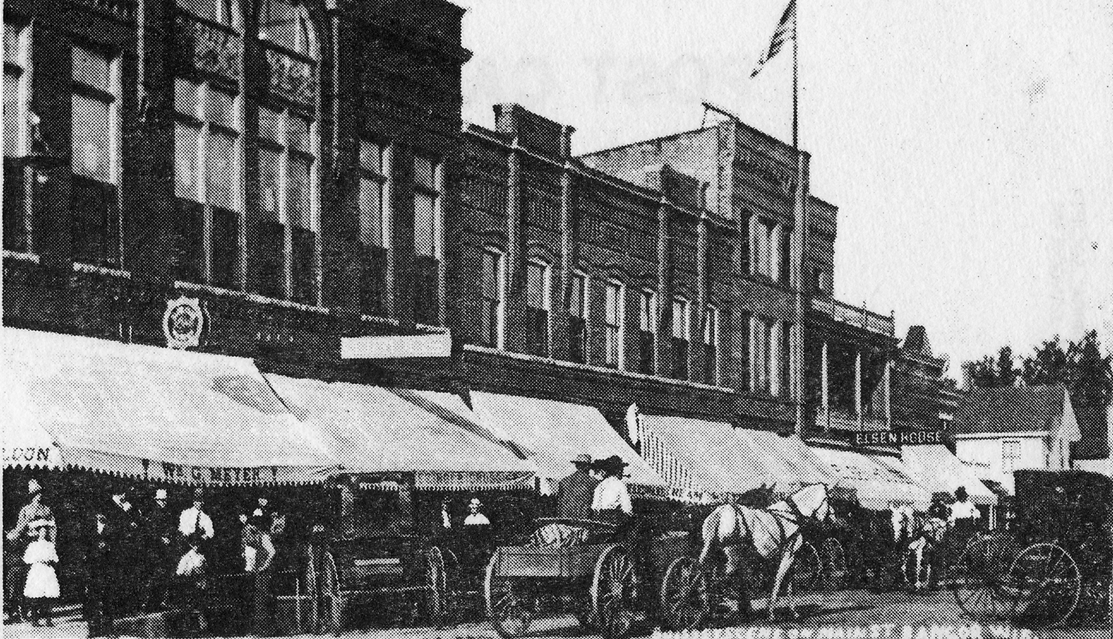
imagesize =
image_caption = Bangor's Business District, circa 1902
image_
mapsize =
map_caption =
mapsize1 =
map_caption1 =subdivision_type = Country
subdivision_name =United States
subdivision_type1 = State
subdivision_name1 =Wisconsin
subdivision_type2 = County
subdivision_name2 = La Crossegovernment_footnotes =
government_type =
leader_title =
leader_name =
leader_title1 =
leader_name1 =
established_title =
established_date =unit_pref = Imperial
area_footnotes =area_magnitude =
area_total_km2 = 90.7
area_land_km2 = 90.7
area_water_km2 = 0.0
area_total_sq_mi = 35.0
area_land_sq_mi = 35.0
area_water_sq_mi = 0.0population_as_of = 2000
population_footnotes =
population_total = 583
population_density_km2 = 6.4
population_density_sq_mi = 16.6timezone = Central (CST)
utc_offset = -6
timezone_DST = CDT
utc_offset_DST = -5
elevation_footnotes = GR|3
elevation_m = 239
elevation_ft = 784
latd = 43 |latm = 51 |lats = 34 |latNS = N
longd = 90 |longm = 57 |longs = 33 |longEW = Wpostal_code_type =
postal_code =
area_code =
blank_name = FIPS code
blank_info = 55-04575GR|2
blank1_name = GNIS feature ID
blank1_info = 1582748GR|3
website =
footnotes =Bangor is a village in La Crosse County,
Wisconsin ,United States , along theLa Crosse River . It is part of theLa Crosse, Wisconsin Metropolitan Statistical Area . The population was 1,400 at the 2000 census. The village is located partially within the Town of Bangor.Geography
Bangor is located at coor dms|43|53|29|N|90|59|24|W|city (43.891394, -90.990167)GR|1.
According to the
United States Census Bureau , the village has a total area of 1.1square mile s (2.7km² ), all land.Demographics
As of the
census GR|2 of 2000, there were 1,400 people, 524 households, and 390 families residing in the village. Thepopulation density was 1,315.4 people per square mile (509.9/km²). There were 546 housing units at an average density of 513.0/sq mi (198.9/km²). The racial makeup of the village was 98.21% White, 0.29% Black or African American, 0.79% Native American, 0.29% Asian, 0.07% from other races, and 0.36% from two or more races. 0.64% of the population wereHispanic orLatino of any race.There were 524 households out of which 38.4% had children under the age of 18 living with them, 63.9% were married couples living together, 6.5% had a female householder with no husband present, and 25.4% were non-families. 21.4% of all households were made up of individuals and 10.7% had someone living alone who was 65 years of age or older. The average household size was 2.65 and the average family size was 3.10.
In the village the population was spread out with 28.8% under the age of 18, 5.9% from 18 to 24, 31.1% from 25 to 44, 18.1% from 45 to 64, and 16.0% who were 65 years of age or older. The median age was 35 years. For every 100 females there were 99.4 males. For every 100 females age 18 and over, there were 95.1 males.
The median income for a household in the village was $42,102, and the median income for a family was $46,058. Males had a median income of $30,787 versus $20,707 for females. The
per capita income for the village was $17,648. About 4.7% of families and 6.3% of the population were below thepoverty line , including 7.4% of those under age 18 and 11.7% of those age 65 or over.Notable residents
*
Lester Trimble , composer (1923-1986)Gallery
References
External links
Wikimedia Foundation. 2010.