- Wels
-
For other uses, see Wels (disambiguation).
Wels Wels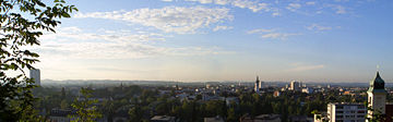
 Wels
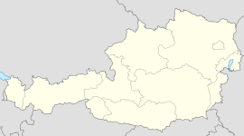
WelsCountry Austria State Upper Austria District Statutory city Mayor Peter Koits (SPÖ) Area 45.92 km2 (18 sq mi) Elevation 317 m (1040 ft) Population 58,713 (1 January 2011)[1] - Density 1,279 /km² (3,312 /sq mi) Time zone CET/CEST (UTC+1/+2) Licence plate WE Postal codes 4600-4606 Area code 07242 Website www.wels.at Wels is the second largest city of the state of Upper Austria, located in the north of Austria, on the Traun River near Linz. It is not part of its surrounding Wels County (Bezirk Wels-Land), but a so-called Statutarstadt (independent city). However, Wels is the county seat of Wels-Land.
Contents
Geography
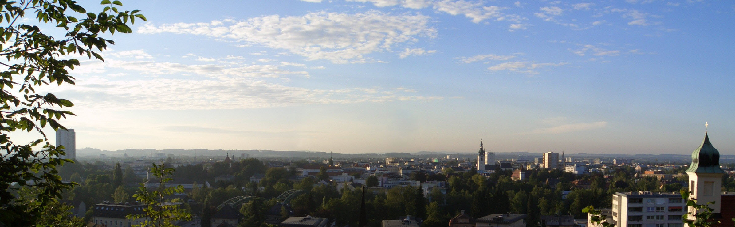
Wels is located in the Hausruckviertel at an elevation of 317 m. From north to south, it extends over 9.5 km, from west to east over 9.6 km. 3.4% of the area is covered with forest, 23.5% is used for agriculture.
The town comprises the following boroughs: Aichberg, Au, Berg, Brandln, Dickerldorf, Doppelgraben, Eben, Gaßl, Höllwiesen, Hölzl, Kirchham, Laahen, Lichtenegg, Mitterlaab, Nöham, Niederthan, Oberhaid, Oberhart, Oberlaab, Oberthan, Pernau, Puchberg, Roithen, Rosenau, Schafwiesen, Stadlhof, Trausenegg, Unterleithen, Waidhausen, Wels, Wimpassing, Wispl.
History
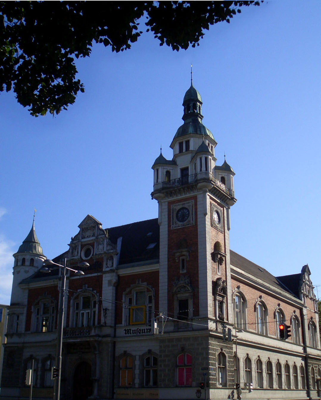
 Alte Sparkasse
The area of Wels has been settled since the Neolithic era and gained importance in Roman times because of its central location in the province of Noricum. Around the year 120, Wels received Roman city rights under the name of Municipium Ovilava. Around 215, it was named Colonia Aurelia Antoniana Ovilabis by Emperor Caracalla. At that time, the city already had 18,000 inhabitants. However, Wels completely lost its importance with the end of Roman rule.
Wels served as a minor trading centre during the Middle Ages. In 1222, during the rule of the Babenberger family, Wels again received city rights. A document dating to 1328 provides evidence for Wels' important role as the location of a market. Its endowment with economic privileges, and its advantageous position on several rivers allowed it to gain an important position in the region.
Emperor Maximilian I died in Wels on January 12, 1519, after having been denied access to Innsbruck by its citizens.
During World War II, a subcamp of Mauthausen concentration camp was located here.[2]
On January 18, 1964, Wels became a Statutarstadt of Austria.
Historical population
215: 18,000; 1991: 52,594; 2001: 56,478
Economy
There are about 36,000 people employed in Wels. Of that, about 63% are in the service sector. Wels is known as an important city for shopping and the location of several gymnasiums (grammar school) and higher vocational schools and also of a vocational college. Furthermore, it is famous for the Wels Fair, which takes place every two years in the autumn.
Personalities
- Alois Auer
- Gerhard Gruber
- Werner Kreindl
- Christian Mayrleb
References
- ^ Statistik Austria - Bevölkerung zu Jahres- und Quartalsanfang, 2011-01-01.
- ^ Christine O'Keefe.Concentration Camps.www.tartanplace.com/tartanhistory/concentrationcamps.html
See also
External links
- (in German): http://www.wels.at
 Cities and districts (Bezirke) of Upper Austria
Cities 
Districts Braunau am Inn • Eferding • Freistadt • Gmunden • Grieskirchen • Kirchdorf an der Krems • Linz-Land • Perg • Ried im Innkreis • Rohrbach • Schärding • Steyr-Land • Urfahr-Umgebung • Vöcklabruck • Wels-LandCategories:- Cities and towns in Upper Austria
- Wels

Wikimedia Foundation. 2010.