- Jarrahdale, Western Australia
Infobox Australian Place | type = suburb
name = Jarrahdale
city =
state = Western Australia
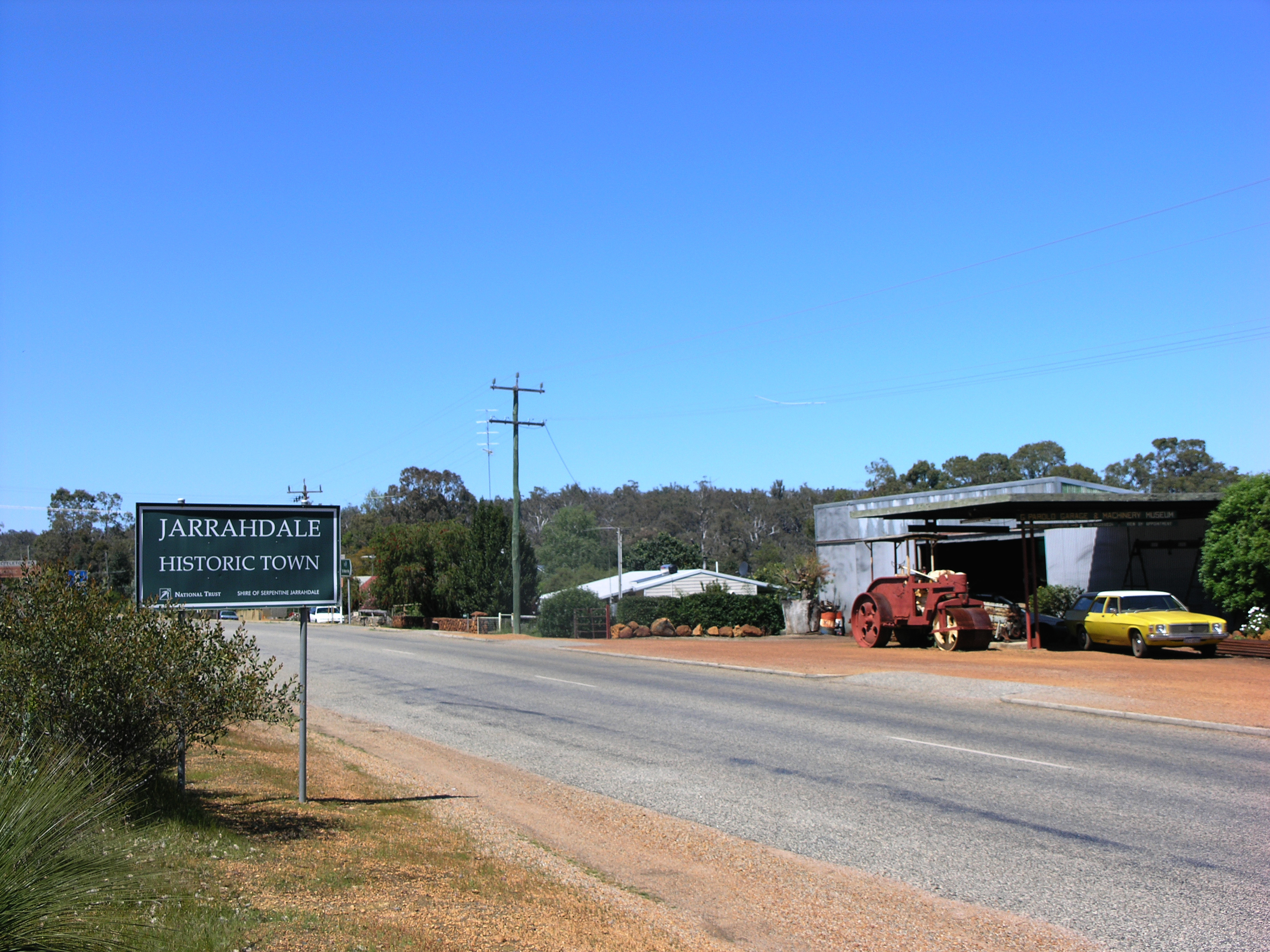
caption = Entering Jarrahdale from Perth
lga =Shire of Serpentine-Jarrahdale
postcode = 6124
est =
pop = 956 (2006 census)
area =
propval =
stategov = Darling Range
fedgov =Division of Canning
near-nw = Karrakup
near-n = Bedfordale
near-ne = Wandering
near-w = Mundijong
near-e = Wandering
near-sw = Serpentine
near-s = Keysbrook
near-se = Wandering
dist1 =
location1= coord|-32.339|116.062|type:city(956)_region:AU-WA_scale:50000|format=dms|display=titleJarrahdale is a small historic town located 50km south-east of Perth,
Western Australia in the Darling Range. [ [http://www.jarrahdale.com/ Welcome to Jarrahdale, Western Australia] www.jarrahdale.com. Retrieved2007-10-15 .] Jarrahdale is a descriptive name, derived from its situation in some of Western Australia's best Jarrah forest. The Jarrahdale Timber Coy constructed a railway for the transport of timber from Jarrahdale through Mundijong to Rockingham. In 1872 the townsite was granted timber concessions and the town was born, [ [http://www.peel.wa.gov.au/content/culture/ History and Culture] www.peel.wa.gov.au. Retrieved 15 October 2007.] however it was not gazetted until 1913. [LandInfo WA|c|J|2007-10-15]The locality was burnt out in an 1895 fire. [ "Jarrahdale - main mill burned down" West Australian, 5 June 1895.] The current townsite is west of its first location.
Historic buildings in the area consist of: Mill managers house, nurses quarters/hospital, general store, single mans quarters, Gianatti store, Murray Arms/Jarrahdale Tavern/Rileys Bar, churches, Post Office and a number of other locations. A POW camp operating during the WW2 exist outside the town. Recently the old mill office, behind the nurses quarters, was destroyed by fire, a hazard that has destroyed many buildings within the historic precinct in its lifetime.
On the main pass road, Jarrahdale Road, are located the successive mill site locations and to the extremity of the town heading east, the last mill site which still contains relics of its existence. This mill was operated by Bunnings until 1997 followed the year after by the Jarrahdale Alcoa alumina operations cessation. Bunnings removed the majority of the mills workings as did Alcoa with there site.
After the closure of the towns founding industries, the local shire of Serpentine Jarrahdale looked to keep the town relevant, so instigated a redevelopment scheme which is headed by the Jarrahdale Heritage Park which houses the previous mill sites and the last standing mill built in the 1930s. This mill is still operating as a small production business called Heritage Sawmillers, located on the Gooralong Brook which flows through the townsite.
Natural beauty is the areas best feature, with surrounding walks and parks featuring postcards of what the Australian bush had once been. The area contains catchment area and steep slopes which are the habitat of the majestic and lovely timber Jarrah. In these conditions the trees grow tall and thrive. It is said virgin remnants of this bushland, of poor quality timber however, still grow near the Kitty's George walk trail within the Serpentine National Park.
Numerous mill sites existed in the jarrah forest surrounding Jarrahdale, at least a couple flooded with the damming of the Serpentine river to form the Serpentine dam. Railway formations and cuttings are interesting signposts to a very productive Jarrahdale of the past. From 1925 until 1927, a portable school was established in a building mounted on railway trucks so that it could be easily transported by forestry train from one work camp to another as timber-getters and their families moved through the forest. [Australian Railway Historical Society Bulletin, October 1987 pp232-234 ]
ee also
*
Dwellingup fires of 1961
*Mundijong, Western Australia
*South Western Highway References
External links
* [http://www.jarrahdale.com/ Jarrahdale Heritage Society]
* [http://reiwa.com/res/res-iframe-suburbprofile-view.cfm?Stats_ID=273 Suburb Profile for Jarrahdale - Real Estate Institute of WA]
* [http://register.heritage.wa.gov.au/PDF_Files/M%20-%20A-D/Mill%20Managers%20Resid(P-AD).PDF REGISTER OF HERITAGE PLACES - ASSESSMENT DOCUMENTATION] Mill Manager's Residence
Wikimedia Foundation. 2010.