- Redeye River
Geobox River
name = Redeye River
native_name =
other_name =
other_name1 =
image_size = 300
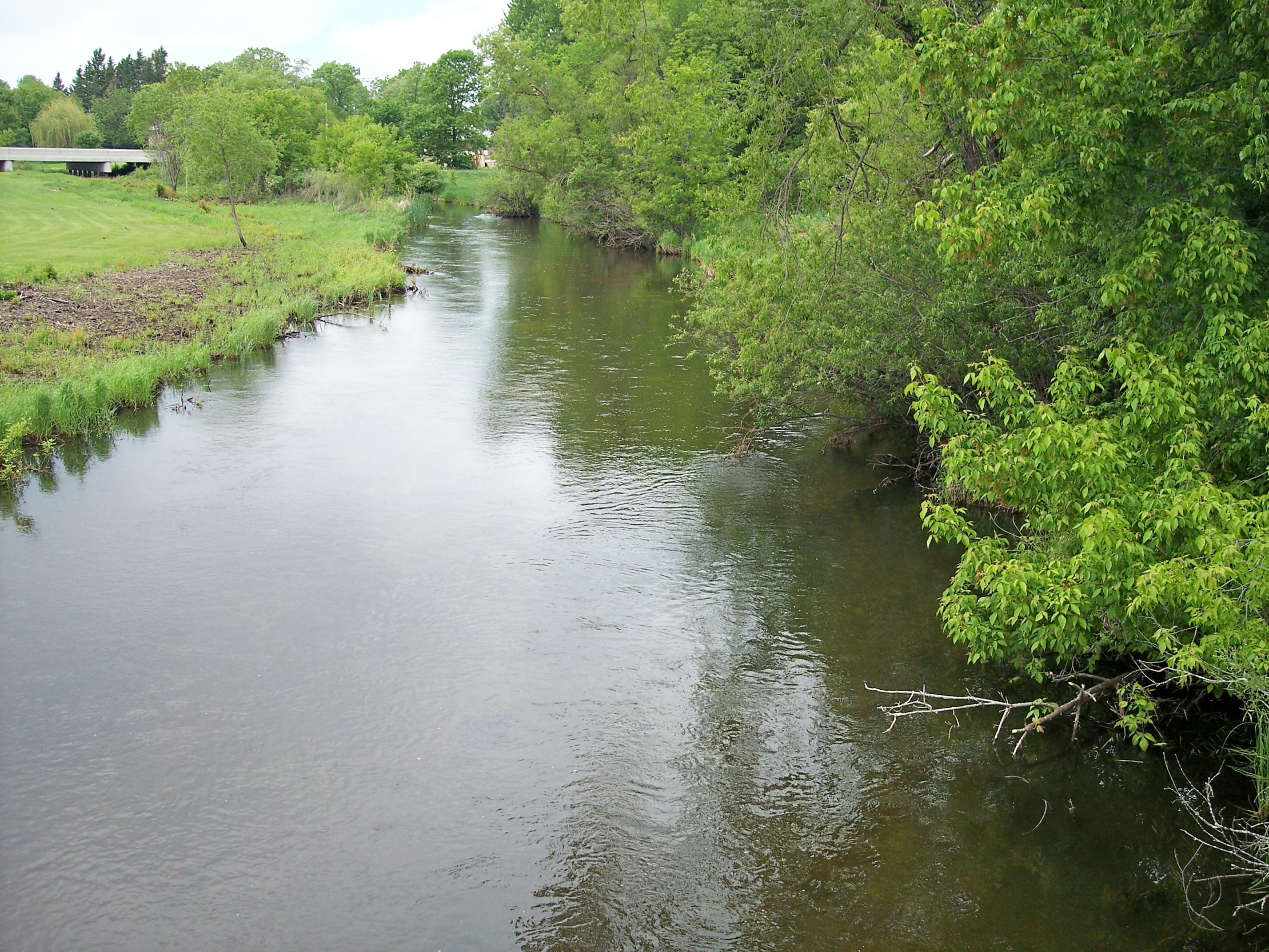
image_caption = The Redeye River in Sebeka in 2007
country = United States
state = Minnesota
region =
region1 =
district =
district1 =
city =
city1 =
length_imperial = 73
length_note = cite web |url= http://mn.water.usgs.gov/pubs/00-234.pdf |title= Physical Characteristics of Stream Subbasins in the Redeye (Leaf) River Basin, Central Minnesota |first= C. A. |last=Sanocki |coauthors=B. C. Fischer |publisher=United States Geological Survey |year= 2000 |accessdate= 2007-06-17]
watershed_imperial = 222
watershed_note =
discharge_location =
discharge_imperial =
discharge_max_imperial =
discharge_min_imperial =
discharge_note =
discharge1_location =
discharge1_imperial =
source_name =Wolf Lake
source_location = Toad Lake Township
source_district = Becker County
source_region =
source_lat_d = 46
source_lat_m = 49
source_lat_s = 17
source_lat_NS = N
source_long_d = 95
source_long_m = 25
source_long_s = 06
source_long_EW = W
source_coordinates_note = cite web |url=Gnis3|649894 |title=Geographic Names Information System entry for Redeye River (Feature ID #649894) |publisher=Geographic Names Information System |accessdate=2007-06-17]
source_elevation_imperial = 1532
source_elevation_note =Google Earth elevation forGNIS coordinates. Retrieved on2007-06-17 .]
mouth_name = Leaf River
mouth_location = Bullard Township
mouth_district = Wadena County
mouth_region =
mouth_lat_d = 46
mouth_lat_m = 29
mouth_lat_s = 10
mouth_lat_NS = N
mouth_long_d = 94
mouth_long_m = 53
mouth_long_s = 06
mouth_long_EW = W
mouth_coordinates_note =
mouth_elevation_imperial = 1263
mouth_elevation_note =
tributary_left =
tributary_left1 =
tributary_right =
tributary_right1 =
free_name =
free_value =
map_size =
map_caption =The Redeye River is atributary of the Leaf River, 73 miles (117 km) long, in centralMinnesota in theUnited States . Via the Leaf and Crow Wing Rivers, it is part of the watershed of theMississippi River , draining an area of 222 square miles (575 km²) in a rural region.Geography
The Redeye River rises in a morainic region, [cite book| last= Waters |first= Thomas F. | title= The Streams and Rivers of Minnesota |year= 2006 |publisher=
University of Minnesota Press |location=Minneapolis |isbn= 0-8166-0960-8 |pages= pp. 184-194 |chapter= The Crow Wing: Oxcart to Canoe] issuing from Wolf Lake in Toad Lake Township in southeastern Becker County. It flows generally southeastwardly through northeastern Otter Tail and central Wadena Counties, through the city of Sebeka, and enters the Leaf River in Bullard Township in southeastern Wadena County, [cite book| title= Minnesota Atlas & Gazetteer |year=1994 |publisher=DeLorme |location=Yarmouth, Me. |isbn= 0-89933-222-6 |pages= pp. 53, 60-61] eight miles (13 km) upstream of the Leaf River's mouth at the Crow Wing River. The river's course is within the North Central Hardwood Forestecoregion , which is characterized byhardwood forests ofmaple and basswood mixed withconifer s, on outwash plains and moraines amid flatglacial lake s. [cite web |url= http://www.pca.state.mn.us/water/basins/uppermiss/index.html |title= Upper Mississippi River Basin. |pages= [http://www.pca.state.mn.us/water/basins/uppermiss/bid-section3.pdf Upper Mississippi River Basin Water Quality Plan, Headwaters to the Rum River - Anoka, Section III: Upper Mississippi River Basin] |publisher= Minnesota Pollution Control Agency |year= 2000 |accessdate= 2007-06-17]ee also
*
List of rivers in Minnesota References
Wikimedia Foundation. 2010.