- Kirup, Western Australia
Infobox Australian Place | type = town
name = Kirup
state = Western Australia
imagesize= 250px
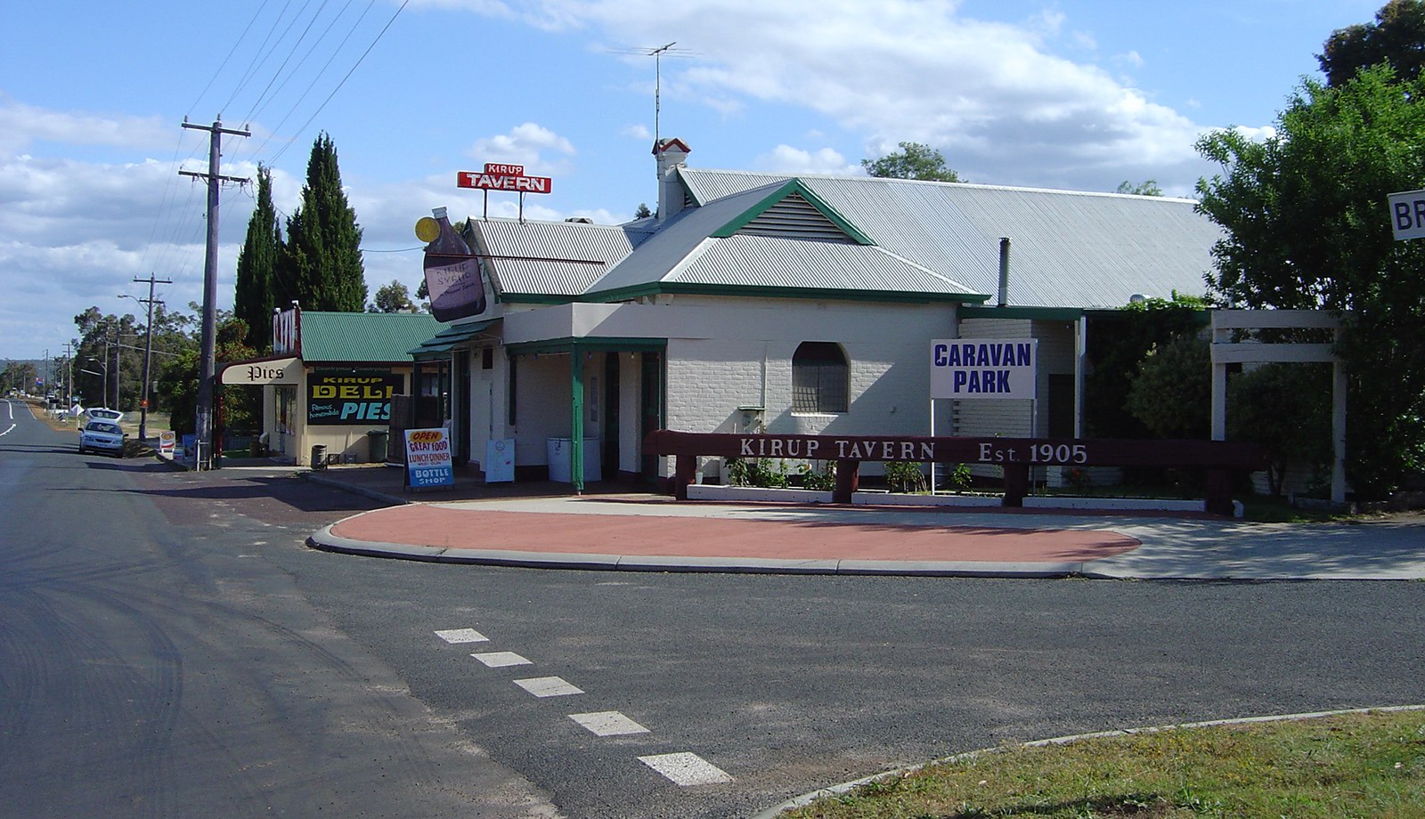
caption = Kirup Tavern and Deli
lga =Shire of Donnybrook-Balingup
postcode = 6251
est = 1901
pop = 324 (2006 Census) [Census 2006 AUS|id=SSC54361|name=Kirup (State Suburb)|quick=on|accessdate=2008-09-06]
elevation= 194
maxtemp =
mintemp =
rainfall =
stategov = Collie-Preston
fedgov = Forrest
dist1 = 228
dir1 = South West
location1= Perth
dist2 = 13
dir2 = North
location2= Balingup
dist3 =
dir3 =
location3= coord|-33.707|115.892|type:city(200)_region:AU-WA_scale:50000|format=dms|display=titleKirup is situated between Donnybrook and Mullalyup on the
South Western Highway , 228 km south of Perth,Western Australia at the entrance of theBlackwood River valley. Kirup was originally settled as a timber town exporting railway sleepers. [cite web|url=http://www.visitwa.com.au/Kirup.html|title=Visit WA - Kirup|year=2008|accessdate=2008-09-06]Most of the town's income now comes from orcharding. Several farms grow organic fruit and vegetables along with olives and there are large cattle farms in the outlying areas.
Kirup is famous for its Kirup Syrup, an Italian red wine that is sold in flagons at the local tavern.
The townsite was initially a railway siding, named Upper Capel, for the Donnybrook to Bridgetown railway line, constructed in 1898. By 1900 the government started to sell blocks in the area, shortly after a sawmill had been built.
The town was gazetted in 1901; the name is thought to be Aboriginal for "place of the summer flies". [cite web|url=http://www.landgate.wa.gov.au/corporate.nsf/web/History+of+country+town+names+-+k|title=Landgate - History of country town names - K|year=2008|accessdate=2008-09-06]
References
Wikimedia Foundation. 2010.