- Bridgetown, Western Australia
Infobox Australian Place | type = town
name = Bridgetown
state = wa
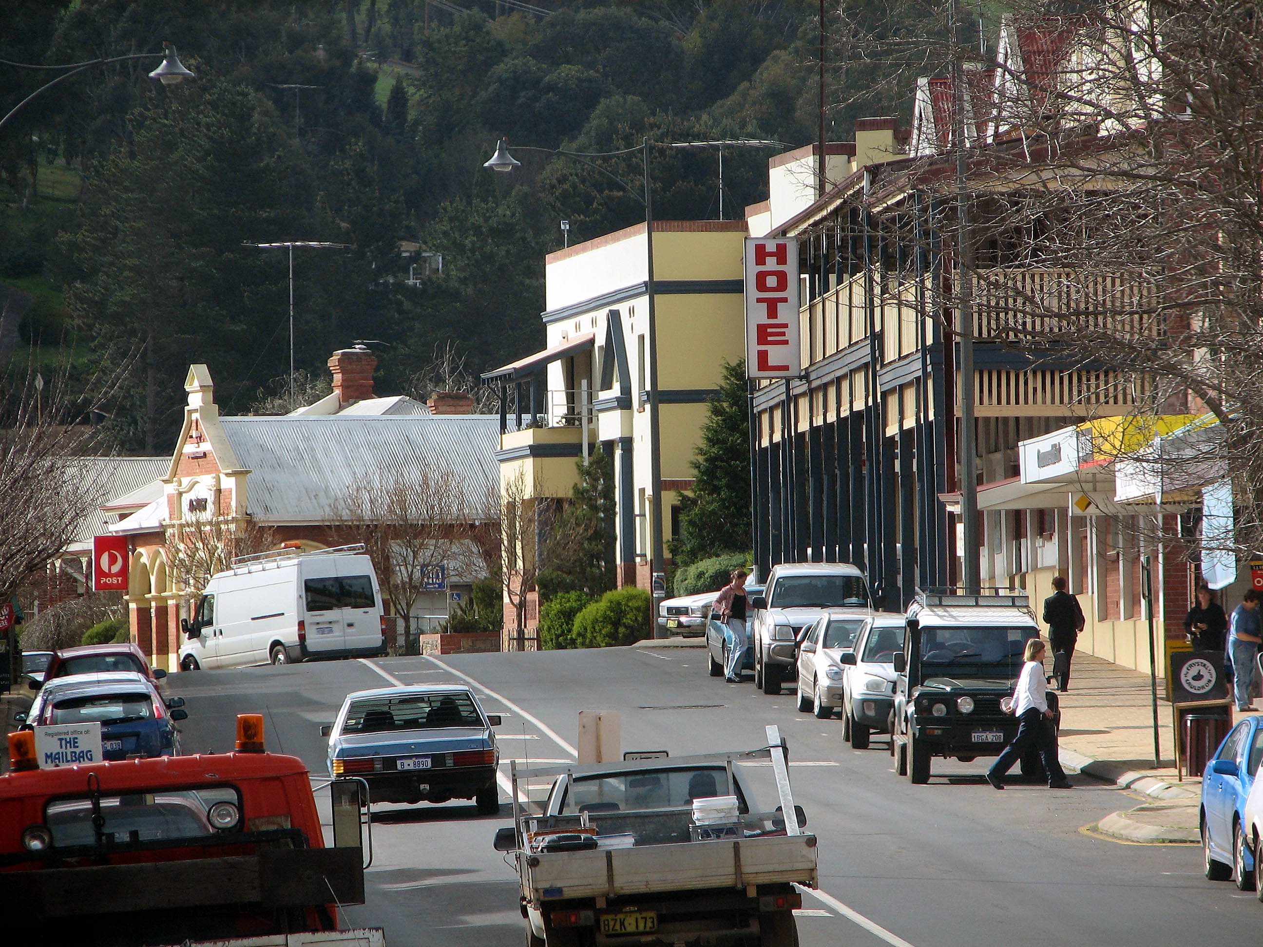
caption = The main street of Bridgetown
lga = Shire of Bridgetown-Greenbushes
postcode = 6255
pop = 2,324 (2006)Census 2006 AUS|id=UCL502000|name=Bridgetown (Urban Centre/Locality)|quick=on|accessdate=2008-10-02]
est = 1868
stategov = Blackwood-Stirling
fedgov = Forrest
dist1 = 267
location1= Perth
dist2 = 88
location2= Bunbury
dist3 = 36
location3= Manjimup
dist4 = 45
location4= Nannup
dist5 = 31
location5= Boyup Brookcoord|-33.958|116.141|type:city(2324)_region:AU-WA_scale:50000|format=dms|display=titleBridgetown is a town in the South West region of
Western Australia , approximately convert|270|km|mi|0 south of Perth on theBlackwood River at the intersection ofSouth Western Highway withBrockman Highway to Nannup and Augusta.History
The area was previously known as Geegelup, which was believed to mean "place of gilgies" in the
Noongar Aboriginal language, referring to the fresh water crustaceans that live in the area. However, recently discovered research made available through the Bridgetown Tourist Centre suggests the actual meaning of Geegelup may be "place of spears".In 1857, Edward Godfrey Hester (now honoured in nearby Hester) and John Blechynden settled in the area. In 1861, convicts built the road from Donnybrook into the area. [cite web|url=http://www.bridgetown.wa.gov.au/tourism/heritage|title=Tourism - Heritage|author=Shire of Bridgetown-Greenbushes|accessdate=2006-11-03]
Bridgetown's name was first proposed by surveyor
Thomas Carey in 1868, for two reasons - "as it is at a bridge and the "Bridgetown" was the first ship to put in at Bunbury for the wool from these districts", and was approved andgazette d on 9 June 1868. [LandInfo WA|c|B|2007-01-17]From then until about 1885, many buildings including the primary school (1870), post office and two hotels were constructed, many of which are still standing today. In 1885, the Bridgetown Agricultural Society was formed and local farmers produced sheep, cattle, dairy products,
timber , fruit and nuts. Thegold rush from 1892 onwards brought prosperity to the town and saw a considerable increase in settlement. In 1907, a number of significant buildings including the police station were erected.Present day
Bridgetown is the seat of the
Shire of Bridgetown-Greenbushes and the centre of a productive agricultural district. Many buildings in the town centre are over a century old. The town has a Jigsaw Gallery and Museum, which claims to host the only jigsaw collection of its kind in theSouthern Hemisphere , and also a primary school (1870) and high school (1962), district hospital,telecentre , shire offices, roadhouse, agricultural showground, shopping facilities, accommodation for travellers (hotel/motel, B&Bs, caravan park) and numerous picnic spots along theBlackwood River . The rural residential area of Kangaroo Gully to the town's east has grown since the 1990s.Each year, Bridgetown hosts these and many other [http://www.bridgetown.com.au/events.asp events] :
* May: [http://www.countrygardens.com.au/ Festival of Country Gardens] (autumn)
* October: [http://www.mccays.com.au/theevent/ Blackwood Marathon]
* October: [http://www.blackwoodvalleywine.asn.au/ Blackwood Valley Wine Show]
* November: [http://www.bluesatbridgetown.com Blues at Bridgetown] music festival
* November: agricultural show (which traces its roots to the 1920s)
* November: [http://www.countrygardens.com.au/ Festival of Country Gardens] (spring)References
External links
* [http://www.bridgetown.wa.gov.au/ Shire of Bridgetown-Greenbushes]
* [http://www.bridgetown.com.au/ Bridgetown-Greenbushes Visitor Centre]
* [http://www.bluesatbridgetown.com Blues at Bridgetown]
* [http://www.mccays.com.au/theevent/ Blackwood Marathon]
* [http://www.countrygardens.com.au/ Festival of Country Gardens]
* [http://www.blackwoodrivervalley.org.au/ Blackwood River Valley]
* [http://www.bom.gov.au/climate/averages/tables/cw_009510.shtml Bridgetown's climate statistics]
* [http://www.bom.gov.au/climate/dwo/IDCJDW6013.latest.shtml Bridgetown's daily weather statistics]
* http://www.btownfilms.com Bridgetown Film Festival January
Wikimedia Foundation. 2010.