Murray Street, Perth

Murray Street, Perth
The Commonwealth Bank building stands on the corner of Murray Street and Forrest Place.
View along the pedestrian mall in the direction of Barrack Street and St Mary's Cathedral.

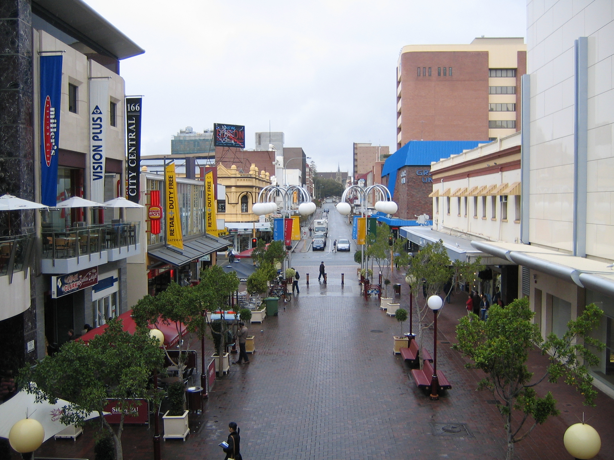
Murray Street is one of four main east-west roads within the Perth central business district.

The street, the central portion of which has become a pedestrian mall, was named after Sir George Murray, Secretary of State for War and the Colonies from 1828 to 1830.

It is the one main road in Perth that has an eastern ending at a church - the Roman Catholic St Mary's Cathedral; the other major churches in the CBD are on the sides of the city streets.

The mall was created later than the Hay Street mall [1] and its central section had no hotels whereas Wellington, Hay and St Georges Terrace have.

The number of historic arcades linking with the Hay Street mall is significant compared to other parts of the CBD.

The western and eastern ends of the street have had significant changes in land use compared to the central section.

Contents

Shops and malls

The strip has many popular shops lining the street including flagship outlets for department stores such as Myer, David Jones and Target. Other independent stores line the street, including brands like Sussan.

Accessibility

The Murray Street mall is directly connected to the Perth railway station by an entry at the west end of the mall, and via Forrest Place to the original Perth railway station and the Museum of Western Australia. Parking garages are also located nearby.

Notes

  1. ^ Central Murray Street upgrading (1988) prepared by Central Murray Street Upgrading Study Group ; produced by Planning Department, City of Perth

External links


Wikimedia Foundation. 2010.

Игры ⚽ Поможем написать курсовую

Look at other dictionaries:

  • Murray Street — may refer to: Murray Street album by Sonic Youth, a band from New York City Murray Street, Perth, Western Australia This disambiguation page lists articles associated with the same title. If an …   Wikipedia

  • Barrack Street, Perth — Barrack Street is one of two major cross streets in the central business district of Perth Western Australia. Together with St Georges Terrace, Wellington Street and William Street it defines the boundary of the main shopping precinct of the… …   Wikipedia

  • King Street, Perth — King Street is located in the CBD of Perth,Western Australia. The street has a very European feel with its early 20th century architecture.It runs through two of Perth s major street Murray Street and Hay Street, between the two there is around a …   Wikipedia

  • Murray — may refer to: Contents 1 People with the name Murray 2 Places 2.1 United States …   Wikipedia

  • Perth, Western Australia — Perth, Australia redirects here. For the town in Tasmania, see Perth, Tasmania. For other uses, see Perth (disambiguation) and Perth, Western Australia (disambiguation). Perth Western Australia …   Wikipedia

  • Perth railway station — Perth Station including Perth Underground is the largest railway station in Perth, Western Australia, and functions as an interchange between the Transperth Trains Armadale / Thornlie , Joondalup , Fremantle , Midland and Mandurah railway lines,… …   Wikipedia

  • Perth — Perth …   Deutsch Wikipedia

  • Perth Gaol — in about 1865 with exterior yards and walls visible The Perth Gaol (often referred to as the Old Perth Gaol) was a gaol (jail) built in Perth, Western Australia between 1854 and 1856 to house convicts and other prisoners. It operated until March… …   Wikipedia

  • Perth —    PERTH, a city, a royal burgh, and anciently the metropolis of the kingdom of Scotland, in the county of Perth, of which it is the capital; comprising the parishes of East Church, Middle Church, St. Paul, and West Church, and the late quoad… …   A Topographical dictionary of Scotland

  • Perth (Schottland) — Perth Koordinaten 56° 24′ N, 3° 27′ W …   Deutsch Wikipedia

Share the article and excerpts

Direct link
Do a right-click on the link above
and select “Copy Link”