- Cleveland Memorial Shoreway
-

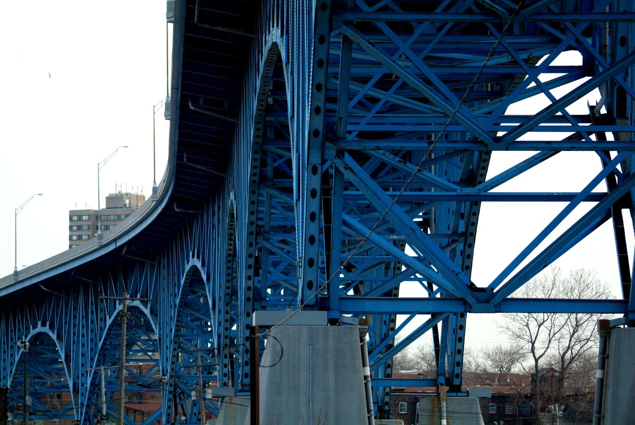
The Cleveland Memorial Shoreway (often shortened to simply "The Shoreway") is a limited-access freeway in Cleveland, Ohio. It closely follows the shore of Lake Erie and connects the east and west sides of Cleveland via the Main Avenue Bridge. The Shoreway carries State Route 2 along its length, and also carries U.S. 6, U.S. 20 and I-90 for various stretches. Although it carries I-90, the "East Shoreway" is typically called such (and not "I-90") because it predates the Interstate Highway System. The Cleveland neighborhood of Detroit-Shoreway is named after the two roads that form the northern border, the Shoreway and Detroit Avenue.
Because the Shoreway west of the I-90 portion does not connect to another limited access facility, it is underutilized and planned to be converted from a freeway to a surface street beginning in 2014.[1][2]
History
The Shoreway began as a 4-mile (6.4 km) roadway from East Ninth Street to East 55th Street built in 1930s using Works Progress Administration workers, and it served as access to the Great Lakes Exposition in 1936. It was the largest WPA project in the country. Within two years the roadway was extended to the Illuminating Company plant adjacent to Gordon Park, and it was opened for traffic in 1938, although planning delays prevented WPA from laying a second strip of pavement and building grade separations from side streets. After completion of the Main Avenue Bridge was completed in 1940, the highway was extended westward to Edgewater Park. The East Ninth Street interchange was also completed in 1940. The highway was extended to Bratenahl at East 140th Street in 1941. The roadway was envisioned as part of a larger system of high speed highways in the city. A West Shore Drive from Edgewater Park to Rocky River was planned, but further construction was interrupted by World War II. After the War, the previously unnamed highway became the Memorial Shoreway in honor of Cleveland's war veterans.
In 1944, the city and county planning departments and the state highway department developed a master plan for freeways throughout the area. However, the only additional freeway built was the Willow Freeway. The Memorial Shoreway permitted crosstown traffic with some stops but was incomplete between East 55th Street and East 72nd Street. In 1953 a further addition connected the sections of Shoreway and widened the original highway to make it an 8-lane, nonstop freeway. The Interstate Highway Act in 1956 provided the funding to complete much of the freeway system planned in 1944. As part of this effort, the Memorial Shoreway was joined to the new Lakeland Freeway, which by 1963 stretched eastward toward Painesville.
References
- ^ "Connecting Cleveland: The Waterfront District Plan". City of Cleveland City Planning Commission. http://planning.city.cleveland.oh.us/lakefront/. Retrieved 2011-06-28.
- ^ "Cleveland Urban Core Projects: Lakefront West". Ohio Department of Transportation. http://www.dot.state.oh.us/projects/ClevelandUrbanCoreProjects/LakefrontWest/Pages/default.aspx. Retrieved 2011-06-28.
External links
- "Memorial Shoreway" at The Encyclopedia of Cleveland History
Categories: Transportation in Cleveland, Ohio | Cleveland area expressways | Roads in Ohio | Works Progress Administration in Ohio
Wikimedia Foundation. 2010.