- De Soto National Forest
-
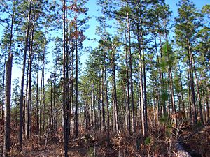 A view of the pine forests of De Soto National Forest near Brooklyn, Mississippi.
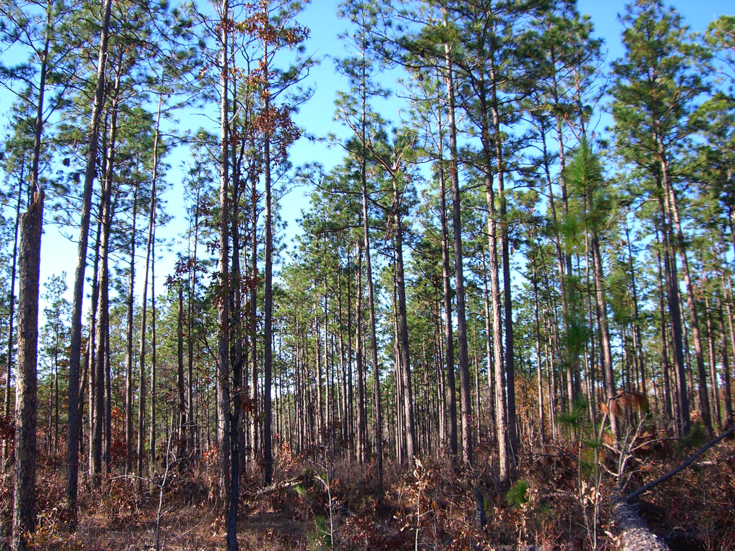
De Soto National Forest is 378,538 acres (591 sq mi; 1,532 km2) of pine forests in southern Mississippi. It offers year-round opportunities for outdoor activities including camping, canoeing, hunting, fishing, and more. There are two wilderness areas within DeSoto: Black Creek Wilderness and Leaf River Wilderness. Black Creek is a popular stream for canoeing, camping, and fishing, and is Mississippi's only designated National Wild and Scenic River. Two National Recreational Trails, the Black Creek Trail and Tuxachanie Trail, offer more than 60 miles (96.6 km) of hiking opportunities.
The forest is headquartered in Jackson, as are all six National Forests in Mississippi. The local ranger district office is in Wiggins, which is surrounded by the National Forest on three sides: north, east, and south.
De Soto National Forest is located between Hattiesburg and Gulfport, and can be easily accessed by U.S. Highway 49 and U.S. Highway 98. It lies in parts of ten counties. In descending order of land area they are Perry, Wayne, Harrison, Forrest, Stone, Greene, Jones, Jackson, George, and Pearl River counties.
See also
- Brooklyn, Mississippi
- Leaf Wilderness
External links
Federal Bogue Chitto • Coldwater River • Dahomey • Grand Bay • Hillside • Holt Collier • Mathews Brake • Mississippi Sandhill Crane • Morgan Brake • Noxubee • Panther Swamp • St. Catherine Creek • Tallahatchie • Theodore Roosevelt • YazooGrand Bay National Estuarine Research Reserve • Gulf Islands National SeashoreState Buccaneer • Clark Creek Natural Area • Clarkco • Florewood • George P. Cossar • Golden Memorial • Grand Gulf Military State Park • Great River Road • Holmes County • Hugh White • John W. Kyle • J. P. Coleman • Lake Lincoln • Lake Lowndes • LeFleur's Bluff • Legion • Leroy Percy • Natchez • Paul B. Johnson • Percy Quin • Roosevelt • Shepard • Tishomingo • Tombigbee • Trace • Wall Doxey
Coordinates: 31°04′01″N 88°59′00″W / 31.06694°N 88.9833333°W
Categories:- Mississippi geography stubs
- Southern United States protected area stubs
- National Forests of Mississippi
- Protected areas of Perry County, Mississippi
- Protected areas of Wayne County, Mississippi
- Protected areas of Harrison County, Mississippi
- Protected areas of Forrest County, Mississippi
- Protected areas of Stone County, Mississippi
- Protected areas of Greene County, Mississippi
- Protected areas of Jones County, Mississippi
- Protected areas of Jackson County, Mississippi
- Protected areas of George County, Mississippi
- Protected areas of Pearl River County, Mississippi
Wikimedia Foundation. 2010.