- Coronation Island
-
This article is about the island in the South Atlantic. For the island in the North Pacific, see Coronation Island (Alaska).
Coronation Island 
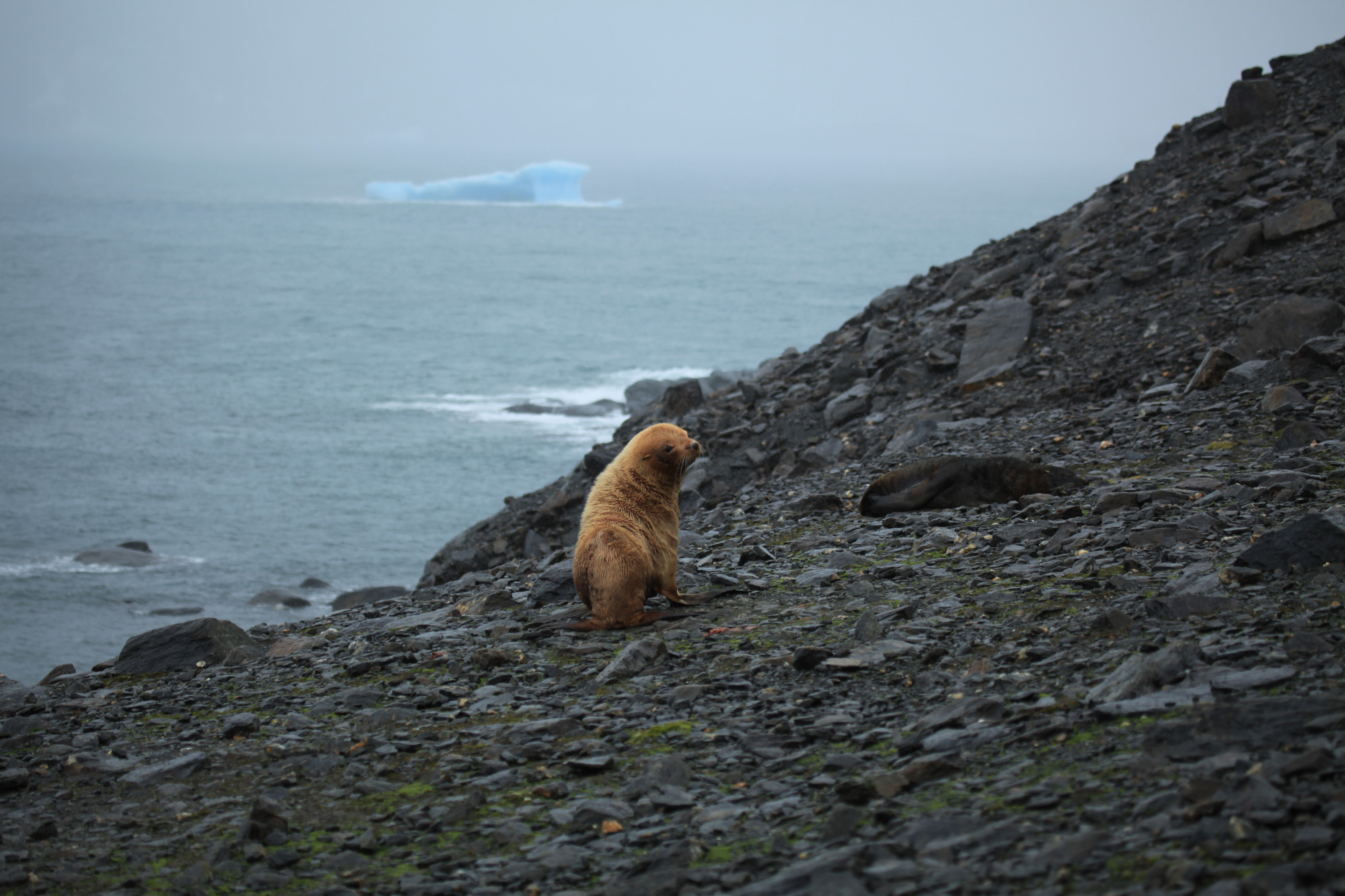
Leucistic Antarctic Fur Seal in Coronation IslandGeography Location Antarctica Coordinates 60°37′S 45°35′W / 60.617°S 45.583°W Archipelago South Orkney Islands Length 40 km (25 mi) Width 9 km (5.6 mi) Highest elevation 1,265 m (4,150 ft) Country AntarcticaDemographics Population 0 Additional information Administered under the Antarctic Treaty System Coronation Island is the largest of the South Orkney Islands, 40 km (25 mi) long and from 5 to 13 km (3.1 to 8.1 mi) (average 9 km/5.6 mi) wide. The island extends in a general east-west direction, is mainly ice-covered and comprises numerous bays, glaciers and peaks, the highest rising to 1,265 metres (4,150 ft). It was discovered in December 1821, in the course of the joint cruise by Captain Nathaniel Palmer, an American sailor, and Captain George Powell, a British sailor. Powell named the island in honour of the coronation of George IV, who had become King of the United Kingdom in 1820.
See also
- Composite Antarctic Gazetteer
- List of Antarctic and sub-Antarctic islands
- List of Antarctic islands south of 60° S
- SCAR
- Territorial claims in Antarctica
- South Orkney Islands
- Norway Bight
References
External links
Coordinates: 60°37′S 45°35′W / 60.617°S 45.583°W

This South Orkney Islands location article is a stub. You can help Wikipedia by expanding it.