Grorud Line

Grorud Line

Infobox rail line
name = Grorud Line
nativename = Grorudbanen
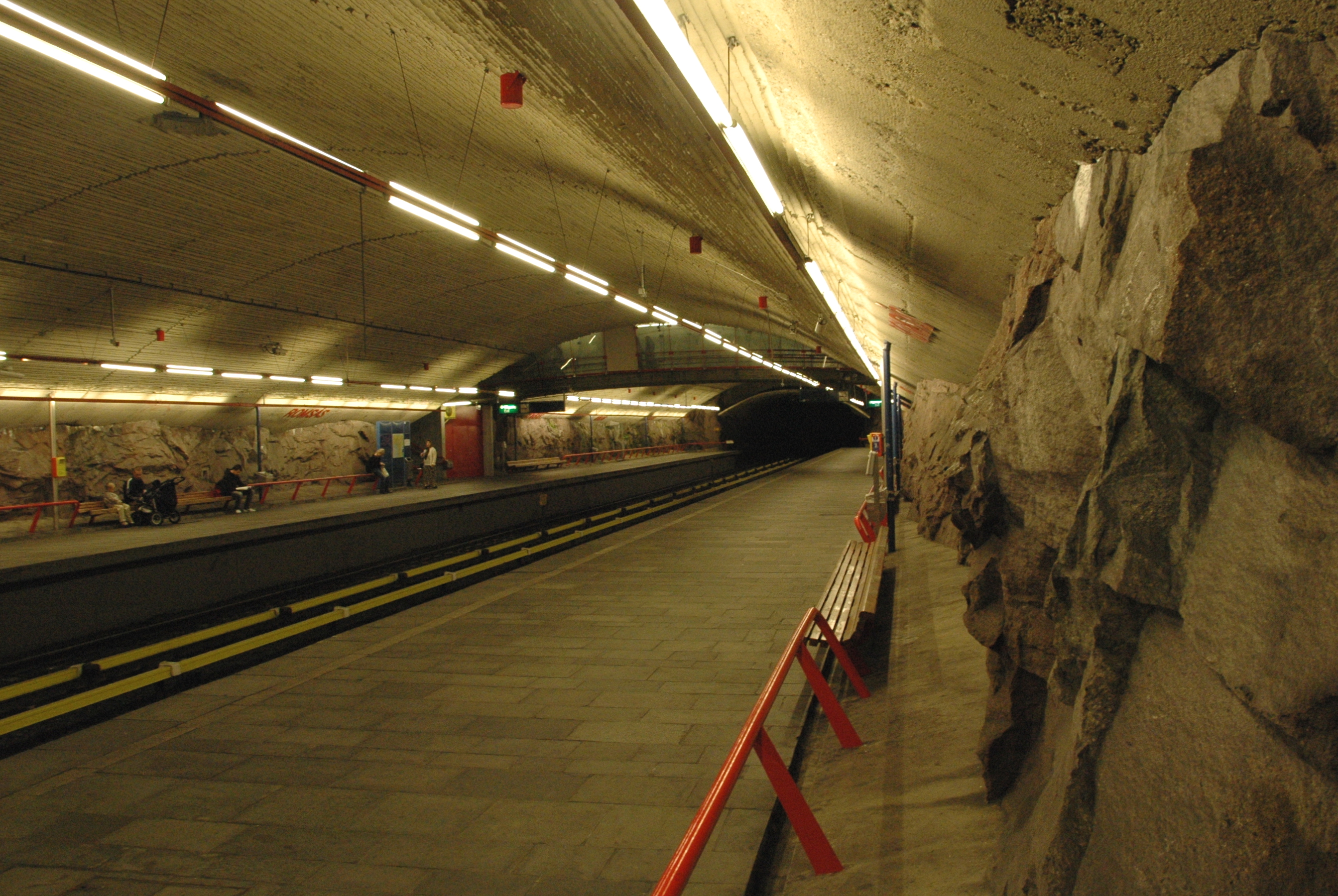


caption = Romsås Station on the Grorud Line
type = Rapid transit
system = Oslo T-bane
start = Tøyen
end = Vestli
stations = 16
open = October 16, 1966
close =
owner = Kollektivtransportproduksjon
operator = Oslo T-banedrift
character =
stock =
linelength = 13.0 km
tracklength = 26.0 km
notrack = Double
gauge = RailGauge|sg
el = 750 V DC (third rail)
speed = 70 km/h
elevation = 195.8 m|

The Grorud Line ( _no. Grorudbanen) is a rapid transit line on the Oslo T-bane between Tøyen and Vestli in Oslo, Norway. The line runs through the northern part of Groruddalen, serving such neighborhoods as Grorud, Romsås and Stovner. It is the longest of the four eastern lines on the network. Like all the other eastern lines, the Grorud Line is run by means of a third rail system.

The line was opened October 16, 1966 to Grorud, extended to Rommen on March 3, 1974, extended to Stovner on October 18 the same year, and finally to Vestli on December 21, 1975. In 2004 a tunnel collapsed between the stations of Hasle and Carl Berners plass in connection with the construction of the new Ring Line, forcing the lines closure until December that year. [http://www.aftenposten.no/nyheter/iriks/oslo/article871941.ece]

From August 2008, Grorudbanen received enhanced service and is served by eight trains per hour, instead of the usual four, during the day Monday-Friday. [ [http://www.groruddalen.no/paa-foerste-ekstraavgang.4501520-84746.html På første ekstraavgang] Groruddalen, August 18, 2008]

ee also

*List of stations on Grorudbanen

References


Wikimedia Foundation. 2010.

Игры ⚽ Поможем написать реферат

Look at other dictionaries:

  • Grorud Station — Infobox Norwegian station name = Grorud caption = locale = Grorud municipality = Oslo line = Hovedbanen distance = 10.50 km elevation = 127.0 m coordinates = start = 1854 architect = platforms = 2 owner = operator = Norges Statsbaner iata = t… …   Wikipedia

  • Grorud Valley — The Grorud Valley (in Norwegian: Groruddalen ) is a broad valley in eastern Oslo. Four of Oslo s boroughs, Bjerke in the west, Alna in the south, Grorud in the north, and Stovner in the east, lie within the valley.The population of the valley is… …   Wikipedia

  • Grorud (station) — Infobox T bane station name = Grorud caption = locale = Grorud municipality = Oslo line = Grorudbanen distance = 11.3 km elevation = 180.3 m coordinates = coord|59|57|40|N|10|52|53|E|display=title,inline|region:NO 03 scale:50000… …   Wikipedia

  • Østensjø Line — MX3000 train near Ulsrud Overview Type Rapid transit System …   Wikipedia

  • Ring Line — Infobox rail line name = Ring Line nativename = T baneringen caption = Satellite map of the subway ring. type = Rapid transit system = Oslo T bane start = Majorstuen end = Tøyen stations = 9 open = 2003 to Storo 2006 to Carl Berners plass close …   Wikipedia

  • Nordland Line — An NSB Di 4 unit on the Nordland Line at Saltfjellet Overview Type Railway …   Wikipedia

  • Østfold Line — Vestby Station Overview Type Railway System Norwegian railwa …   Wikipedia

  • Meråker Line — Container train hauled by a CD66 locomotive from CargoNet in Malvik Overview Type Railway …   Wikipedia

  • Drammen Line — NSB BM69 local train units are used on tbe Drammen Line, here shown at Oslo S, the terminus of the line. Overview Type …   Wikipedia

  • Numedal Line — The Numedal Line at Pikerfoss Overview Type Railway System Norwegian railways …   Wikipedia

Share the article and excerpts

Direct link
Do a right-click on the link above
and select “Copy Link”