Carl Berners plass (station)
- Carl Berners plass (station)
Infobox T-bane station
name = Carl Berners plass
caption =
locale = Grünerløkka
municipality = Oslo
line = Circle Line and Grorudbanen
distance = 3.3 km
elevation = 50.3 m
coordinates = coord|59|55|32|N|10|46|42|E|display=title,inline|region:NO-03_scale:10000_type:railwaystation
start = 1966
type = Underground
line1 =
line2 =
line3 =
line4 =
line5 = yes
line6 = yes
train =
flytoget =
tram = 17 Grefsen - Rikshospitalet
bus = 20 Galgeberg - Skøyen
21 Helsfyr - Aker Brygge
31 Snarøya - Tonsethagen |
Carl Berners plass is the first subway station for outbound trains on Grorudbanen after leaving the shared downtown stretch. It is between Tøyen and Hasle, and located in the Grünerløkka borough. The station was originally only served by Grorudbanen, but when T-baneringen was completed on August 21 2006, that line was connected with this station, and branches off from Grorudbanen here.
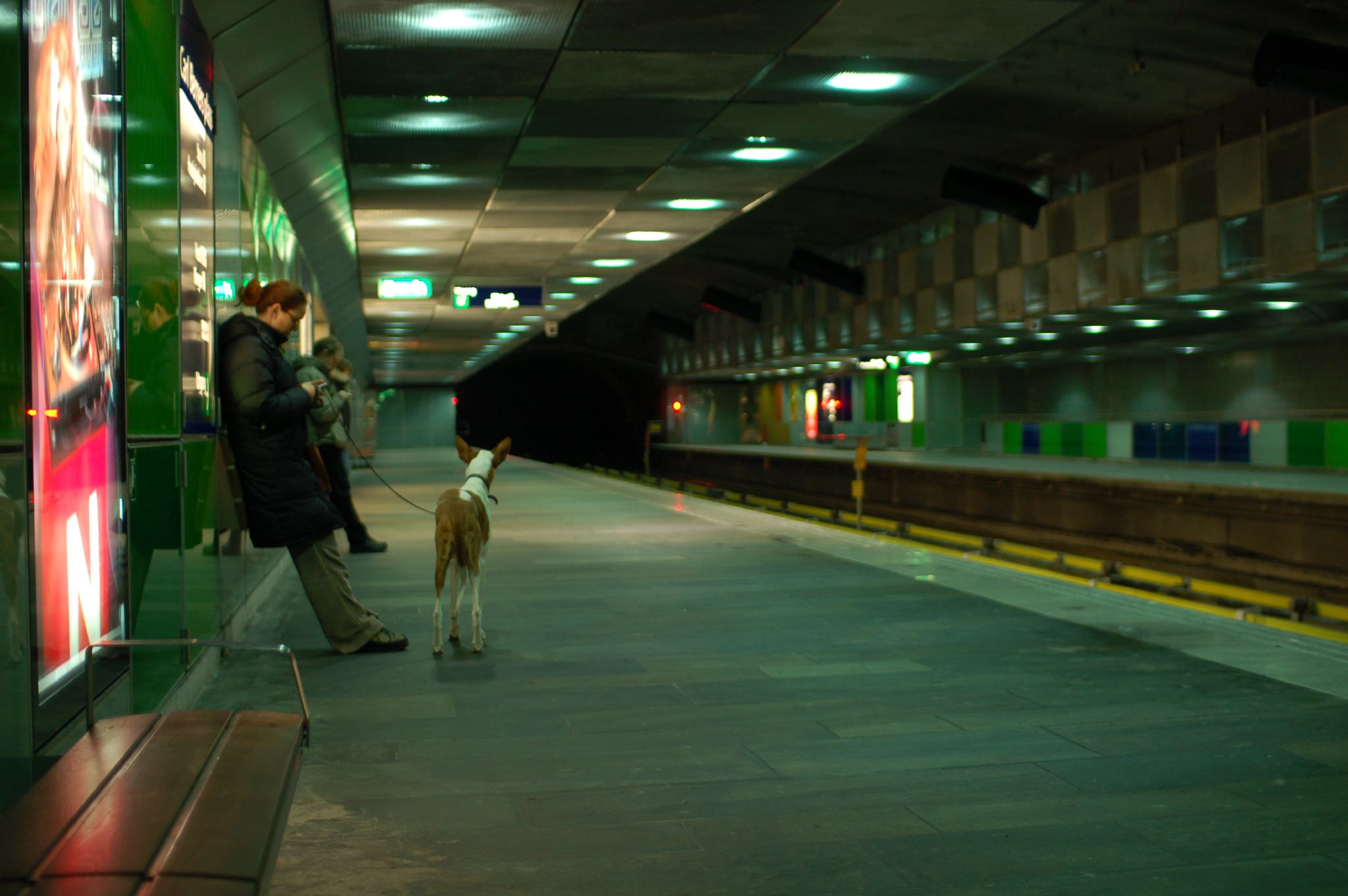
The station is located underground. The walls are blue-green and tiled, and the lighting is dim. The shop which used to be at the station has been closed.
Carl Berners plass is named after the Norwegian politician Carl Berner. The "plass" (Norwegian for "square") is now a large road intersection, the entries to the subway station are to the east of this. The area has a mixture of apartment buildings and small businesses.
Oslo T-bane next
station = Carl Berners plass
line5 = yes
west5 = Tøyen
east5 = Hasle
westspan5 = 2
eastspan5 = 1
line6 = yes
west6 =
east6 = Sinsen
westspan6 =
eastspan6 = 1|
Wikimedia Foundation.
2010.
Look at other dictionaries:
Nationaltheatret (station) — For the mainline railway station underneath, see Nationaltheatret Station. Nationaltheatret Entrance Location Place Vika Municipality … Wikipedia
Oslo Hospital (station) — Oslo Hospital Location Place Gamlebyen Coordinates 59°54′12″N … Wikipedia
Hasle (station) — Infobox T bane station name = Hasle caption = locale = Hasle municipality = Oslo line = Grorudbanen distance = 4.6 km elevation = coordinates = coord|59|55|26|N|10|47|36|E|display=title,inline|region:NO 03 scale:50000 type:railwaystation start =… … Wikipedia
Olaf Ryes plass — Map of the district, 1917. Olaf Ryes plass is the green, centrally placed square. Olaf Ryes plass (lit. Olaf Rye s Square ) is a square and park placed centrally in the Grünerløkka borough of Oslo, Norway. It is more or less quadratic in shape.… … Wikipedia
Merradalen (station) — Merradalen Location Place Ullern Municipality Aker (1935–1948) Oslo (1948–) Line Kolsås Line Distance 5.1 km (3.2 mi) Elevation 82.0 m (269.0 ft) … Wikipedia
Sinsen (station) — Infobox T bane station name = Sinsen caption = Stairs to the island platform from the Trondheimsveien entrance locale = Sinsen municipality = Oslo line = Circle Line distance = elevation = coordinates =… … Wikipedia
Majorstuen (station) — Majorstuen Two MX3000 at the station Location Place Majorstuen Municipality Oslo … Wikipedia
Østhorn (station) — Østhorn Lo … Wikipedia
Mortensrud (station) — Mortensrud Location Place Mortensrud, Søndre Nordstrand Municipality Oslo Coordinates … Wikipedia
Nydalen (station) — For the railway station, see Nydalen Station. Nydalen Location Place Nydalen, Nordre Aker Municipality … Wikipedia