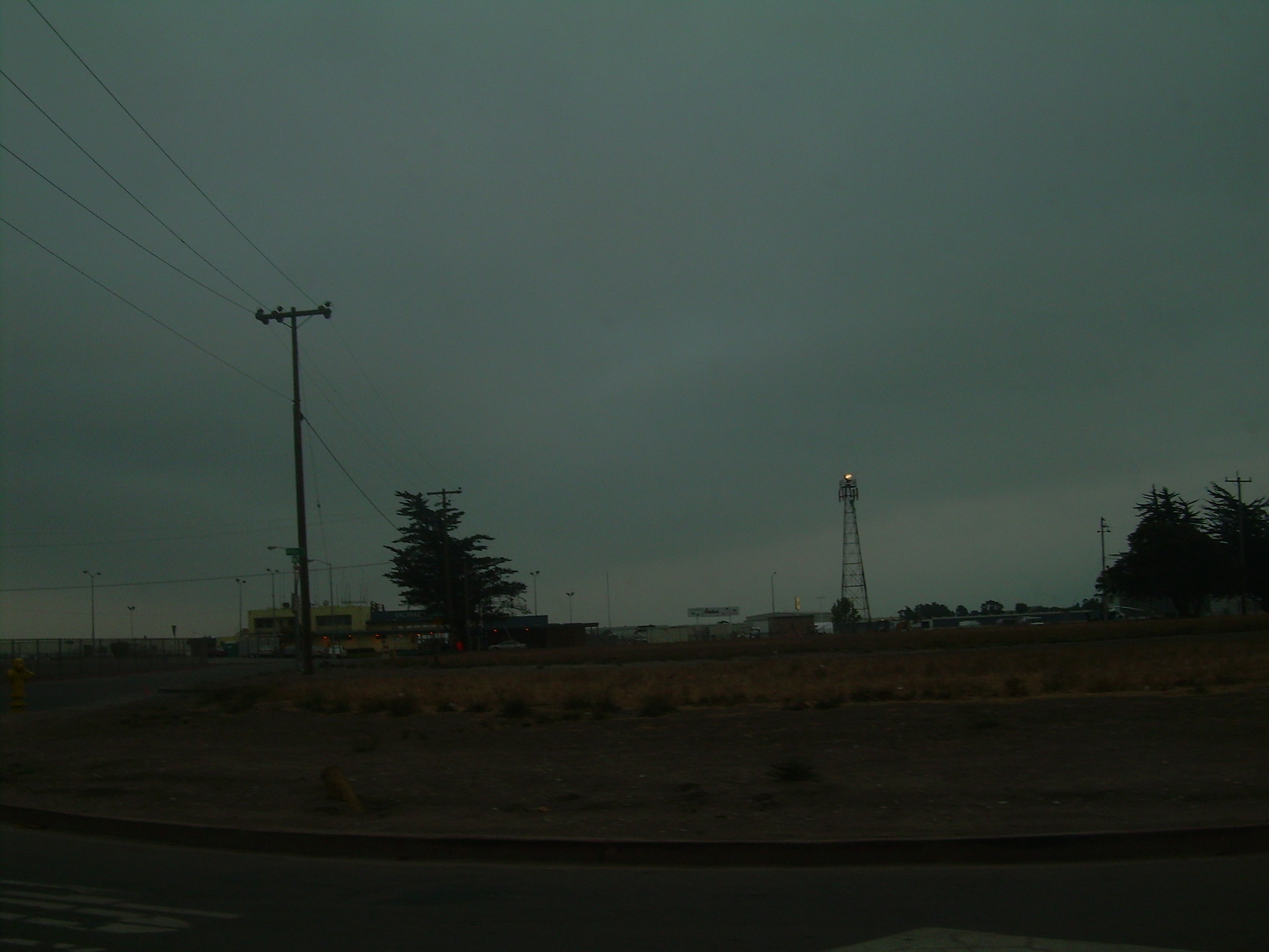
- Salinas Municipal Airport
Infobox Airport
name = Salinas Municipal Airport

image-width = 300
caption =
IATA = SNS
ICAO = KSNS
FAA = SNS
type = Public
owner = City of Salinas
operator =
city-served =Salinas, California
location =
elevation-f = 85
elevation-m = 26
website =
r1-number = 8/26
r1-length-f = 6,004
r1-length-m = 1,830
r1-surface =Asphalt
r2-number = 13/31
r2-length-f = 4,825
r2-length-m = 1,471
r2-surface = Asphalt
r3-number = 14/32
r3-length-f = 1,900
r3-length-m = 579
r3-surface = Asphalt
h1-number = H1
h1-length-f = 90
h1-length-m = 27
h1-surface = Asphalt/Concrete
stat-year = 2007
stat1-header = Aircraft operations
stat1-data = 77,896
stat2-header = Based aircraft
stat2-data = 229
footnotes = Source:Federal Aviation Administration FAA-airport|ID=SNS|use=PU|own=PU|site=02137.*A, effective 2007-12-20]Salinas Municipal Airport airport codes|SNS|KSNS|SNS is a city-owned public-use
airport located three miles (5 km) southeast of thecentral business district of Salinas, a city in Monterey County,California ,United States .Facilities and aircraft
Salinas Municipal Airport covers 605
acre s (245 ha) which contain threeasphalt pavedrunway s: 8/26 measuring 6,004 x 150 ft. (1,830 x 46 m), 13/31 at 4,825 x 150 ft. (1,471 x 46 m), and 14/32 at 1,900 x 50 ft. (579 x 15 m). It also has onehelipad with a 90 x 90 ft. (27 x 27 m) asphalt/concrete surface.For the 12-month period ending June 30, 2007, the airport had 77,896 aircraft operations, an average of 213 per day: 97%
general aviation , 2%air taxi and 1% military. At that time there were 229 aircraft based at this airport: 70% single-engine, 21% multi-engine, 3% jet and 6%helicopter .History
The airfield was opened in June 1942 during
World War II as Salinas Army Air Base (AAB). It was used by theUnited States Army Air Forces Fourth Air Force as a subpost toFort Ord during the war. Its mission was that of a incoming personnel processing center and a training field for Army pilots in reconnaissance and observation duties in various aircraft from light observation planes to medium bombers. The Air Transport Command also used the field and had an air freight terminal here for transshipment of cargo.With the end of the war, the base was declared excess to requirements and returned to civil control. [cite web
title = Historic California Posts, Salinas Army Air Base
publisher = The California State Military Museum
url = http://www.militarymuseum.org/SalinasAAB.html
accessdate = 2008-04-19 ]ee also
*
California World War II Army Airfields References
External links
* [http://www.ci.salinas.ca.us/Admin/Airport/ADairprt.html Salinas Municipal Airport] at City of Salinas web site
*FAA-diagram|00363
*US-airport-ga|SNS
Wikimedia Foundation. 2010.
