Sims Creek

Sims Creek
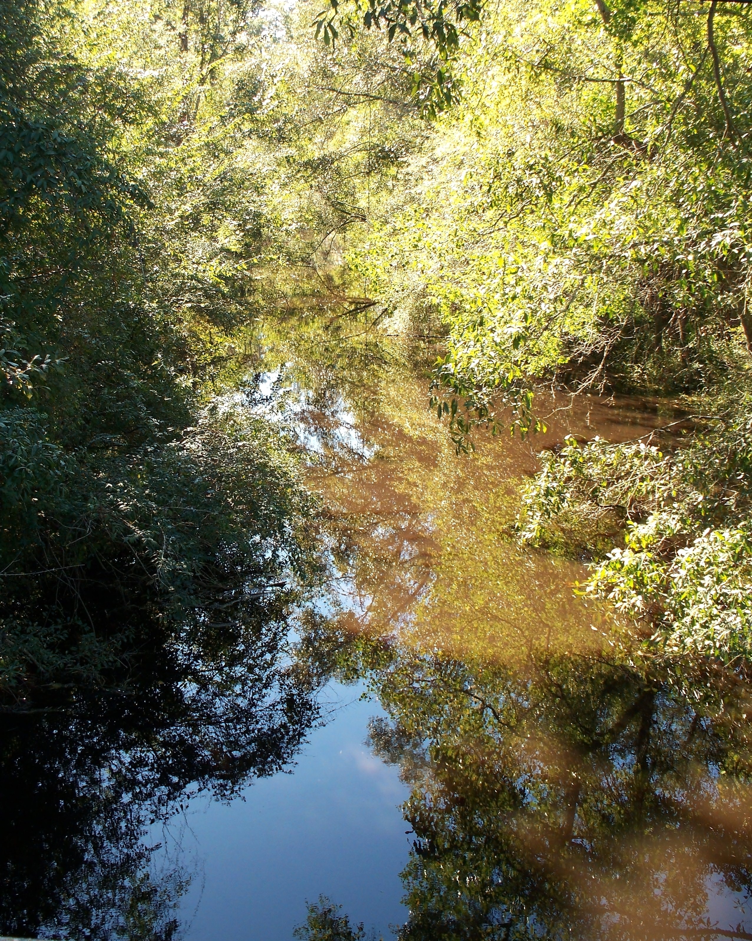
Sims Creek as it flows west from the LA 445 bridge south of Robert.

Sims Creek is a 4.7-mile-long (7.6 km)[1] tributary of the Tangipahoa River in the 8th Ward of Tangipahoa Parish, Louisiana. It flows generally southeast from near Robert, and is joined about halfway down its course by its longest tributary, P-Kaw-Shun Creek, which begins north of Lorraine and flows southwest, passing under US 190 and Interstate 12, to its confluence with Sims Creek. The main creek then continues southwest, passing under LA 445, and meets the Tangipahoa River 4 miles (6 km) south of Robert. The creek is part of the Lake Pontchartrain Basin and thus sensitive to its ecology.[2] In 2007, the attorney general of Louisiana issued a legal opinion that a private fence could not lawfully be constructed across Sims Creek, because of its importance to public drainage.[3]

Notes

  1. ^ U.S. Geological Survey. National Hydrography Dataset high-resolution flowline data. The National Map, accessed June 20, 2011
  2. ^ Lake Pontchartrain Basin Foundation 2009 presentation from Saveourlake.org
  3. ^ "Opinion No. 07-0194". Charles C. Foti, Jr., Attorney General of Louisiana. 2007-10-11. http://www.ag.state.la.us/Shared/ViewDoc.aspx?Type=4&Doc=19060. Retrieved 2009-10-16. 


Wikimedia Foundation. 2010.

Игры ⚽ Поможем решить контрольную работу

Look at other dictionaries:

  • Sims (Carolina del Norte) — Sims Pueblo de los Estados Unidos Ubicación en el …   Wikipedia Español

  • Sims Corner Eskers and Kames — The Sims Corner Eskers and Kames National Natural Landmark includes excellent examples of Pleistocene ice stagnation landforms including numerous Glacial erratics terminal moraines, eskers and kames. It is located on the Waterville Plateau of the …   Wikipedia

  • Sims Township, Grant County, Indiana — Infobox Settlement official name = Sims Township settlement type = Township nickname = motto = imagesize = image caption = image imagesize = image caption = image mapsize = map caption = Location of Sims Township in Grant County mapsize1 = map… …   Wikipedia

  • Cedar Creek Lake (Kentucky) — Infobox lake lake name = Cedar Creek Lake image lake = Cedar Creek Lake KY 1770 Bank Access.jpg caption lake = Bank access along KY 1770 image bathymetry = caption bathymetry = location = Lincoln County, Kentucky coords = type = reservoir inflow …   Wikipedia

  • Ropes Creek railway line, Sydney — The Ropes Creek Line is a closed railway line in the western suburbs of Sydney, Australia.HistoryThe Ropes Creek Line was named after a nearby creek bearing the same name. Its main purpose was to transport military ammunitions and munitions… …   Wikipedia

  • The Sims Online — Infobox VG title = The Sims Online developer = Maxis [ [http://pc.ign.com/objects/015/015970.html IGN: The Sims Online ] ] [ [http://www.gamespot.com/pc/rpg/simsonline/index.html The Sims Online for PC The Sims Online PC Game The Sims Online… …   Wikipedia

  • J. Marion Sims — J. Marion Sims, born James Marion Sims (January 25, 1813 – November 13, 1883) was a surgical pioneer, considered the father of American gynecology. Modern historians argue about his legacy as Sims used slaves as experimental subjects.[1] J.… …   Wikipedia

  • Crab Creek — Coordinates: 46°48′55″N 119°55′19″W / 46.81528°N 119.92194°W / 46.81528; 119.92194 …   Wikipedia

  • Fourpole Creek (Tug Fork) — Infobox River river name = Fourpole Creek caption = origin = Mingo/McDowell county border, east of Isaban mouth = Tug Fork at Mohawk, McDowell County, West Virginia basin countries = United States length = elevation = discharge = watershed =… …   Wikipedia

  • Thetus W. Sims — Thetus Willrette Sims was an American politician and a member of the United States House of Representatives for the 8th congressional district of Tennessee. He was born on April 25, 1852 near Waynesboro, Tennessee in Wayne County. He attended a… …   Wikipedia

Share the article and excerpts

Direct link
Do a right-click on the link above
and select “Copy Link”