- Ozone Park
-
Ozone Park – Lefferts Boulevard

New York City Subway rapid transit station 
Station statistics Address Lefferts Boulevard & Liberty Avenue
Ozone Park, NY 11419Borough Queens Locale Ozone Park Coordinates 40°41′10″N 73°49′27″W / 40.686203°N 73.82422°WCoordinates: 40°41′10″N 73°49′27″W / 40.686203°N 73.82422°W Division B (IND, formerly BMT) Line IND Fulton Street Line Services A  (all times)
Connection - MTA Bus: Q10, Q112
Structure Elevated Platforms 1 island platform Tracks 2 Other information Opened September 25, 1915[1] Former/other names Lefferts Avenue
Lefferts Avenue – 119th StreetTraffic Passengers (2010) 2,221,497[2]  1%
1%Rank 205 out of 422 Station succession Next north 111th Street (local): A
Rockaway Boulevard (express): no regular serviceNext south (Terminal): A Station service legend Symbol Description 
Stops in station at all times 
Stops all times except late nights 
Stops late nights only 
Stops late nights and weekends only 
Stops weekdays only 
Stops all times except rush hours in the peak direction Stops all times except weekdays 
Stops rush hours only 
Stops rush hours in the peak direction only 
Station is closed (Details about time periods)  Northwestern street stair
Ozone Park – Lefferts Boulevard is an elevated terminal station on the IND Fulton Street Line of the New York City Subway, located at the intersection of Lefferts Boulevard and Liberty Avenue in Queens. Despite its name, the station is not actually located in Ozone Park, but rather in the adjacent neighborhood of Richmond Hill.
This station is one of the three southern terminals for the A train. Although this is a "south" terminal in railroad directions (considering the Eighth Avenue Line in Manhattan as north–south), Liberty Avenue underneath runs geographically WSW–ENE, so a train approach the "south" is actually traveling ENE, or more north than south.
This station has one island platform and two tracks. The tracks at the geographic north end of the station end in bumper blocks. At the geographic south end of the station, the line splits from two tracks to three. The middle express track is not currently used in revenue service.
The full-time entrance is at the geographic north end of the station. The exit at the opposite end has HEET access, with a mezzanine that leads to 116th street, with various offices and transit employee facilities. This mezzanine was renovated by an in-house contract in 1999. Tile colors here are light beige with dark green accents, installed in 1997.
This is one of six stations along Liberty Avenue in Queens that were originally constructed as part of the BMT's portion of the Dual Contracts . The stations from 80th Street – Hudson Street to Lefferts Boulevard opened on September 25, 1915 as an extension of the Fulton Street Elevated Line.[1] The connection to the BMT was severed on April 26, 1956, with a new connection to the IND Fulton Street Line opening on April 29, 1956. The Fulton Street Elevated west of Hudson Street was closed, and eventually demolished.
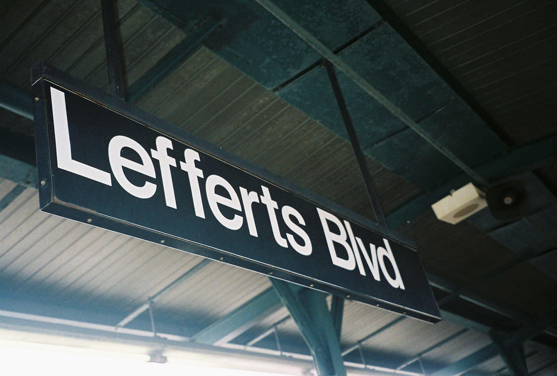
The station has gone by a number of different names. It opened as Lefferts Avenue.[1] A 1924 system map portrayed the station as "Lefferts Avenue", with "119th St." shown below the name in parentheses, and in a smaller print.[3] By 1948, "Lefferts" and "119" were shown in equal sizes,[4] and by 1959 the name was shown as "119 St–Lefferts".[5] Lefferts Avenue was later renamed Lefferts Boulevard, and the station appears as "Ozone Park – Lefferts Boulevard" on the current official map.[6]
References
- ^ a b c "New Elevated Line Opened for Queens" (PDF). The New York Times. September 26, 1915. http://query.nytimes.com/mem/archive-free/pdf?_r=1&res=9B01E4D6103CE733A25755C2A96F9C946496D6CF. Retrieved 2007-09-28.
- ^ "Facts and Figures: 2010 Annual Subway Ridership". New York City Metropolitan Transportation Authority. http://mta.info/nyct/facts/ridership/ridership_sub_annual.htm. Retrieved 2011-05-18.
- ^ "BMT Lines, Rapid Transit Division" (GIF). 1924. http://www.nycsubway.org/perl/caption.pl?/img/maps/bmt_1924.gif. Retrieved 2007-11-09.
- ^ "Rapid Transit Lines of the New York City Transit System" (GIF). 1948. http://www.nycsubway.org/perl/caption.pl?/img/maps/system_1948.gif. Retrieved 2007-11-09.
- ^ "Official New York City Subway Map and Station Guide" (GIF). 1959. http://www.nycsubway.org/perl/caption.pl?/img/maps/system_1959.gif. Retrieved 2007-11-09.
- ^ "MTA New York City Subway with bus, railroad, and ferry connections" (PDF). Metropolitan Transportation Authority. August 2007. http://www.mta.info/nyct/maps/subwaymap.pdf. Retrieved 2007-11-09.
External links
- nycsubway.org — IND Fulton Street Line: Lefferts Boulevard
- Station Reporter — A Lefferts
- The Subway Nut — Ozone Park – Lefferts Boulevard Pictures
- Lefferts Boulevard entrance from Google Maps Street View
- 116th Street entrance from Google Maps Street View
Categories:- IND Fulton Street Line stations
- BMT Fulton Street Line stations
- New York City Subway stations in Queens
- Railway stations opened in 1915

Wikimedia Foundation. 2010.