- Ouranoupoli
-
Ouranoupoli
Ουρανούπολη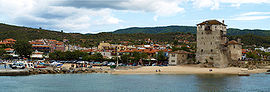
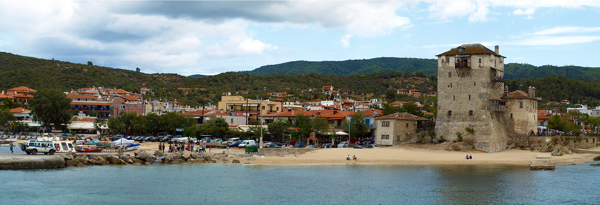
Panoramic view of Ouranoupoli.Location 
 Ouranoupoli
Coordinates 40°20′N 23°59′E / 40.333°N 23.983°ECoordinates: 40°20′N 23°59′E / 40.333°N 23.983°E Government Country: Greece Region: Central Macedonia Regional unit: Chalkidiki Municipality: Aristotelis Municipal unit: Stagira-Akanthos Population statistics (as of 2001) Community - Population: 960 Other Time zone: EET/EEST (UTC+2/3) Auto: ΧΚ Ouranoupoli (Greek: Ουρανούπολη, formerly Ouranopolis) is an ancient city and a modern village in Chalcidice. It was founded by Cassander and his brother Alexarchus in the late 4th century BC.[1] The village is today called Ouranoupoli.
Contents
Location
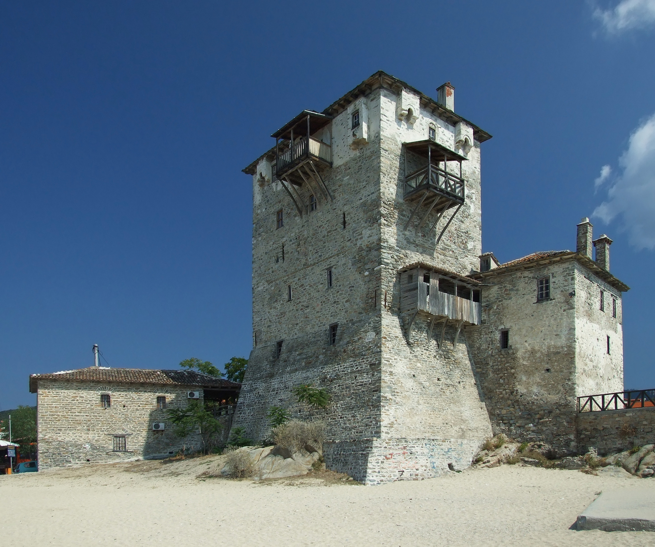
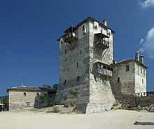 The old tower at the beach.
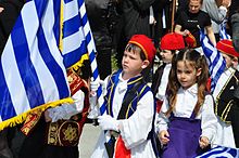 The 25th of March, Independence Day. Children parade in Ouranopolis.
The village of Ouranoupoli is situated on the coastline in the northwest part (the very beginning) of the Athos peninsula, part of the bigger Chalkidiki peninsula. It is the last settlement before the border with the monks republic of Mount Athos (the Holy Mountain).
The city of Thessaloniki is in about 140 km road distance from here.
Sister cities
References
- ^ Tarn, p. 12. "Unmistakeable, though not Seleucid, is Ouranopolis in Pamphylia; it was a colony from Ouranopolis in Chalcidice, the city founded by Cassander's brother Alexarchus."
Sources
- Tarn, William Woodthorpe. The Greeks in Bactria & India, 1950.
External links
- Ouranoupoli
- Fishing Boats in Ouranopoli, Agio Oros Peninsula (Greece) on 23 August 2003 Coastal Photograph by Hubert Chanson, Journal of Coastal Research, Vol. 25, No. 5, Sept., p. 1175 (ISSN 0749-0208)
Categories:- Hellenistic colonies in Chalcidice
- Populated places in Chalkidiki
- Ancient Greek cities
- Antipatrid colonies in Macedonia
- Ancient Athos
- Ancient Greece stubs


Wikimedia Foundation. 2010.