- Orosay
-
Not to be confused with Orsay.
Orosay Location 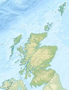
 Orosay
Orosay shown within Scotland OS grid reference NF712060 Names Gaelic name Orasaigh Norse name Örfirisey[1] Meaning of name "tidal island" Area and summit Area c. 30 ha Highest elevation 38 metres (125 ft)[2] Population Population Uninhabited Groupings Island group Barra Local Authority Western Isles 

If shown, area and population ranks are for all Scottish islands and all inhabited Scottish islands respectively. Population data is from 2001 census. Orosay (Scottish Gaelic: Orasaigh) is a small tidal island in Traigh Mhòr on the north east coast of Barra in the Outer Hebrides of Scotland. It is about 30 hectares (74 acres) in extent and the highest point is 38 metres (125 ft).
Contents
Geography and etymology
Inland, the nearest settlement is Eoligarry, separated from the island by the strait of Caolas Orasaigh (English: "Sound of Orosay").[3] The smaller beach of Tràigh Cille-bharra ("the beach of the church of Barra") lies to the north. The islands of Fuday, Greanamul, Gighay and Hellisay lie further offshore in the Sound of Barra.[2] The name "Orosay" is a variant of Oronsay, from the Old Norse for "tidal" or "ebb island",[1] found commonly in the Hebrides. For example, there are two other small Orosay/Orosaighs surrounding Barra alone. One is at grid reference NL665970 at the south eastern approaches to Castle Bay and the second at grid reference NL641971 in Caolas Bhatarsaigh east of the causeway.[2]
History
The writer Compton Mackenzie lived on Barra nearby and is buried at Cille Bharra, opposite the island.[4][5] There is no record of Orosay itself ever having been permanently inhabited.
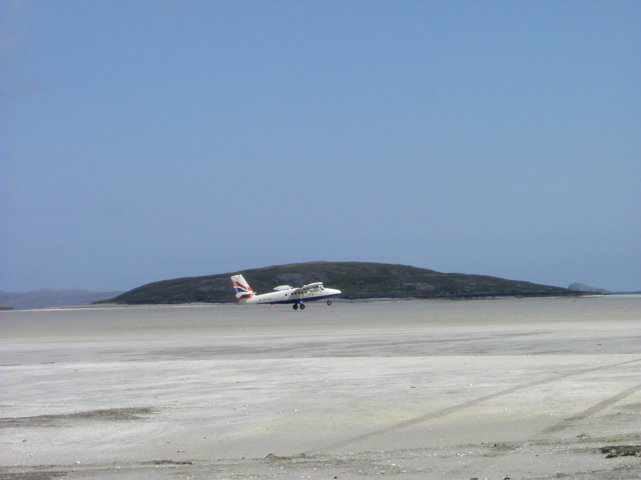
Beach runway
 Orosay and the "runway" at Barra airport
Barra's airport uses Traigh Mhòr ("big beach"), also known as Cockle Strand, as a runway.[3] Planes can only land and take off at low tide, and the timetable varies with the tides. Reputedly, this is the only airport in the world to have scheduled flights landing on a beach. The aircraft currently in operation on Barra is the de Havilland Canada DHC-6 Twin Otter, flown by Loganair on services to Glasgow and Benbecula. Traigh Mhòr also provides commercial cockle harvesting.[6][7]
In the 1970s concern was expressed about the progressive deepening of Caolas Orasaigh as a possible cause of increased ponding of water on the beach runway at low tide. The problem does not, however, appear to have been serious and no action was apparently taken.[8]
See also
- List of Outer Hebrides
References
- Haswell-Smith, Hamish (2004). The Scottish Islands. Edinburgh: Canongate. ISBN 1841954543.
- Watson, W.J. (2004) The History of the Celtic Place-names of Scotland. Reprinted with an introduction by Simon Taylor. Edinburgh. Birlinn. ISBN 1-84158-323-5
Footnotes
- ^ a b Watson (2004) p. 505.
- ^ a b c "Get-a-Map". Ordnance Survey.
- ^ a b "Orosay, Sound of" Gazetteer for Scotland. Retrieved 17 August 2009.
- ^ Haswell-Smith, Hamish (2004). The Scottish Islands. Edinburgh: Canongate. pp. 221. ISBN 1841954543.
- ^ "Cille Bharra". Undiscovered Scotland. http://www.undiscoveredscotland.co.uk/barra/cillebharra/index.html. Retrieved 18 August 2009.
- ^ "Barra Airport". Highlands and Islands Airports Limited. http://www.hial.co.uk/barra-airport.html. Retrieved 6 April 2009.
- ^ "Barra Airport". Undiscovered Scotland. http://www.undiscoveredscotland.co.uk/barra/airport/index.html. Retrieved 16 August 2009.
- ^ Ritchie, W. (1971) Commissioned Report No. 047: The beaches of Barra and the Uists. A survey of the beach, dune and machair areas of Barra, South Uist, Benbecula, North Uist and Berneray. SNH/Countryside Commission for Scotland. Retrieved 17 August 2009. pp 71-72.
Categories:- Islands of the Sound of Barra
- Uninhabited islands of Scotland

Wikimedia Foundation. 2010.