- Orbieu
-
Orbieu 
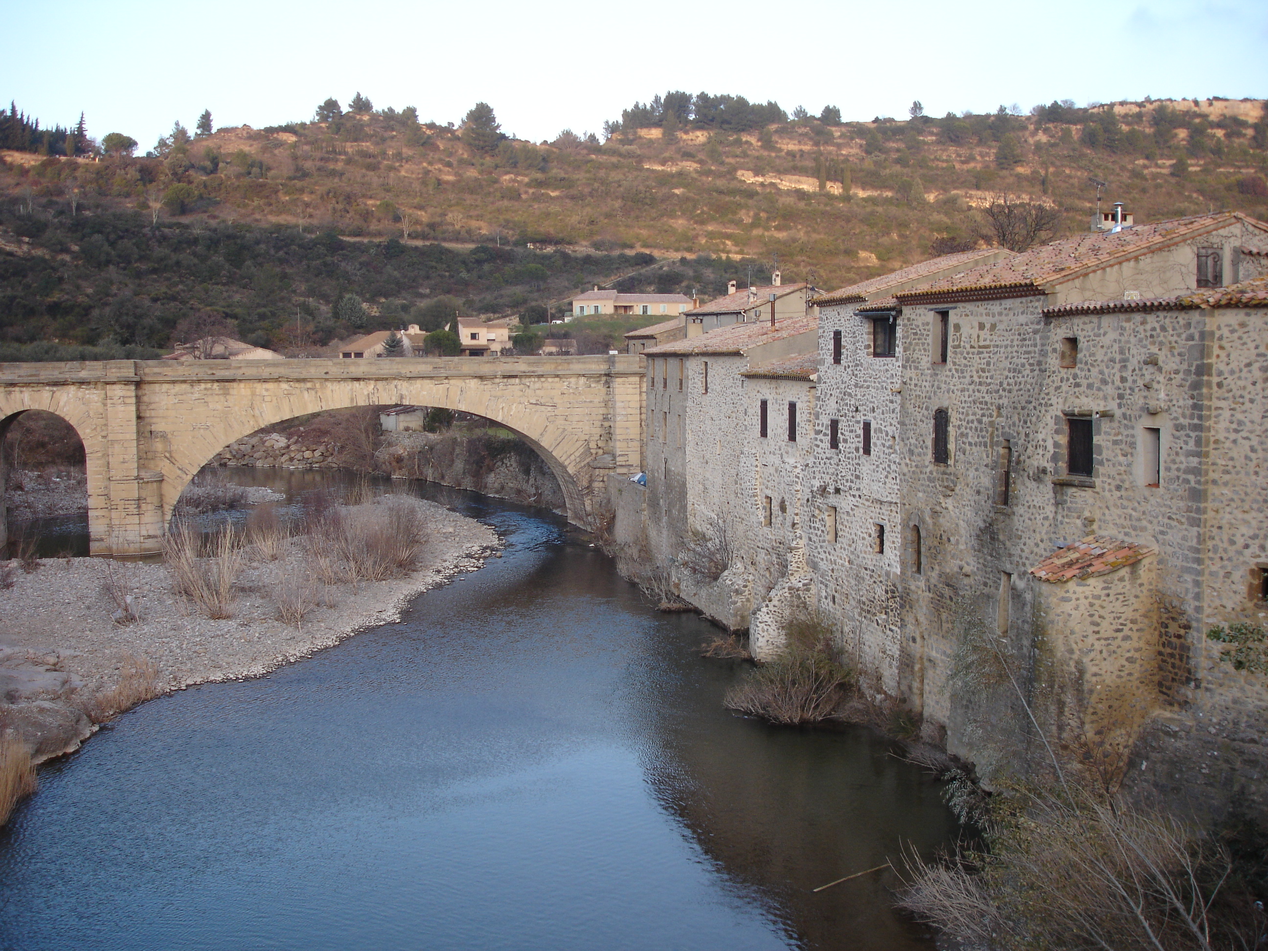
The Orbieu at Lagrasse.Origin Fourtou
42°55′59″N 02°26′05″E / 42.93306°N 2.43472°EMouth Aude
43°13′59″N 02°54′00″E / 43.23306°N 2.9°ECoordinates: 43°13′59″N 02°54′00″E / 43.23306°N 2.9°EBasin countries France Length 84.3 km (52.4 mi) Source elevation 700 m (2,300 ft) Mouth elevation 10 m (33 ft) Avg. discharge 4.64 m3/s (164 cu ft/s) at mouth Basin area 680 km2 (260 sq mi) The Orbieu is a 84.3 km (52.4 mi) long river in the Aude département, in south central France. Its source is at Fourtou, in the Corbières. It flows generally northeast. It is a right tributary of the Aude into which it flows between Raissac-d'Aude and Marcorignan, 10 km (6.2 mi) northwest of Narbonne.
Communes along its course
This list is ordered from source to mouth: Fourtou, Auriac, Lanet, Montjoi, Vignevieille, Mayronnes, Saint-Martin-des-Puits, Saint-Pierre-des-Champs, Lagrasse, Ribaute, Camplong-d'Aude, Fabrezan, Ferrals-les-Corbières, Lézignan-Corbières, Luc-sur-Orbieu, Cruscades, Ornaisons, Névian, Villedaigne, Raissac-d'Aude, Marcorignan
Notes
- This article is based on the equivalent article from the French Wikipedia, consulted on 29 April 2009.
References
Categories:- Rivers of France
- Aude
- Drainage basins of the Gulf of Lion
- Aude geography stubs
Wikimedia Foundation. 2010.