- Odivelas (parish)
-
Odivelas (Portuguese pronunciation: [oðiˈvɛlɐʃ] or [ɔðiˈvɛlɐʃ]) is a civil parish in Odivelas Municipality in Lisbon Metropolitan Area, Portugal.. The city has a population of 50,846.[1] The municipality is composed of 7 parishes, and is located in the District of Lisbon.
 Odivelas coat of arms
The present Mayor is Susana de Fátima Carvalho Amador, elected by the Socialist Party.
Contents
Geography
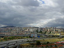
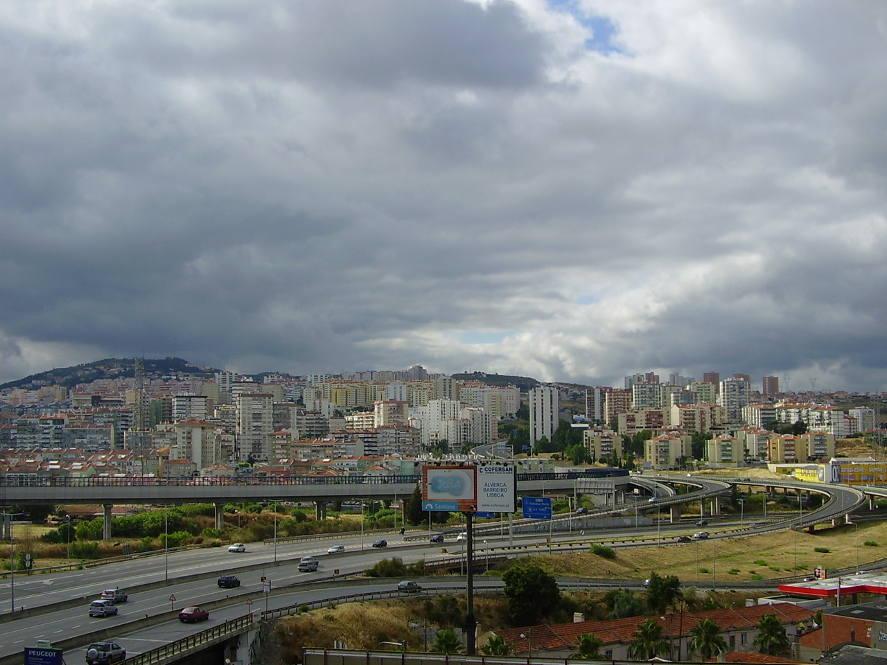
The city of Odivelas is located northwest of Lisbon in its metropolitan area, in conurbation with Lisbon. The municipality has a total area of 26.1 km².
Demography
The population of the city of Odivelas is of 53,448. The municipality of Odivelas has 133,894 inhabitants in 7 parishes.
Historical highlights
The most famous monument in Odivelas is the feminine Convent of Saint Denis of Odivelas, founded by King Dinis I around 1295. Many famous religious women lived in the convent, which was frequently visited by Kings and Queens (indeed, several Kings had illegitimate sons with the nuns). The Gothic convent was very much damaged in the 1755 Lisbon Earthquake, but the apse has survived, as well as the tomb of King Dinis and his daughter, Princess Maria Afonso. The Convent also has interesting architecture in Manueline and Baroque styles.
The Convent, which is open for tourists, has become the Instituto de Odivelas, a school for girls sponsored by the Ministry of Defense of Portugal.
Another interesting sight is the Odivelas Memorial, a curious, early 14th century monument. It carries a coat-of-arms of Portugal in the late 15th century style, when the monument may have been restored. The purpose of this monument is not exactly known, but it may have been erected to mark the arrival of the body of King Dinis in Odivelas, to be buried in the Convent.
In the early 18th century, King John V, ordered the construction of an aqueduct to transport water from the parish of Caneças to the city of Lisbon, which suffered from chronic lack of water. The Águas Livres Aqueduct, which began to operate in 1748, is one of the masterpieces of ancient Portuguese engineering.
Origin of name
 Odivelas
According to a legend, the name Odivelas came by chance when the King Dinis misunderstood a few words his wife said to him when they were on their way to visit the nuns in the convent of what was later called Odivelas. She said "ide vê-las" (go see them), talking about the nuns, but apparently he understood "Odivelas", which became the name of that place. This story is myth, however. According to scholars the name Odivelas cames from the Arabic uadi (stream of water) and the Latin velas (windmill sails).
Sports
Odivelas Futebol Clube is the most representative sporting association in the city, with three soccer fields, gymnasium, and other facilities.
References
- ^ UMA POPULAÇÃO QUE SE URBANIZA, Uma avaliação recente - Cidades, 2004 Nuno Pires Soares, Instituto Geográfico Português (Geographic Institute of Portugal)
External links
*Odivelas - Site Independente 7 Abril 1999 - Noticias, TV, Historia
- Portal de Odivelas - Eventos, Classificados, Notícias, Empresas
- Portal de Odivelas
- Aluguer de Casas e Andares em Odivelas
- Municipality official website
- Odivelas Futebol Clube official website)
- Odivelas native ties science and spirituality through consciousness studies
- Photos from Odivelas
30 largest cities of Portugal by population Lisbon · Porto · Amadora · Almada · Odivelas · Vila Nova de Gaia · Agualva-Cacém · Queluz · Braga · Coimbra · Funchal · Setúbal · Aveiro · Guimarães · Rio Tinto · Viseu · Ponta Delgada · Matosinhos · Amora · Leiria · Faro · Évora · Barreiro · Póvoa de Varzim · Ermesinde · Viana do Castelo · Maia · Covilhã · Portimão · Castelo Branco
Categories:- Cities in Portugal
- Parishes of Portugal
Wikimedia Foundation. 2010.