- Obalende
-
- for the restaurant in London see Obalende Suya Restaurant
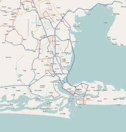
Obalende — Neighborhood — Location in Lagos Coordinates: 6°26′41″N 3°25′3″E / 6.44472°N 3.4175°ECoordinates: 6°26′41″N 3°25′3″E / 6.44472°N 3.4175°E Country  Nigeria
State Lagos Time zone WAT (UTC+1) Obalende is a neighborhood of Lagos, Nigeria, located on Lagos Island.[1][2]It contains the Holy Child College Obalende, St. Gregory's College and the Jinadu Anglican School.
References
- ^ Google. Google Maps (Map).
- ^ Microsoft and Harris Corporation Earthstar Geographics LLC. Bing Maps (Map).
Categories:- Neighborhoods of Lagos
- Nigeria geography stubs
Wikimedia Foundation. 2010.

