- Northwest Bakersfield
-
Northwest Bakersfield — Region in Bakersfield — Location within Bakersfield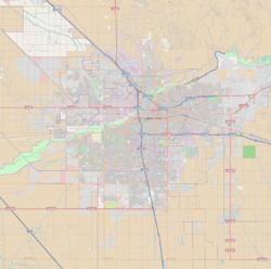
 Northwest Bakersfield
Coordinates: 35°24′00″N 119°06′14″W / 35.400°N 119.104°WCoordinates: 35°24′00″N 119°06′14″W / 35.400°N 119.104°W Country United States State California County County of Kern City City of Bakersfield Neighborhoods of Northwest List- Bakersfield Commons
- Riverlakes Ranch
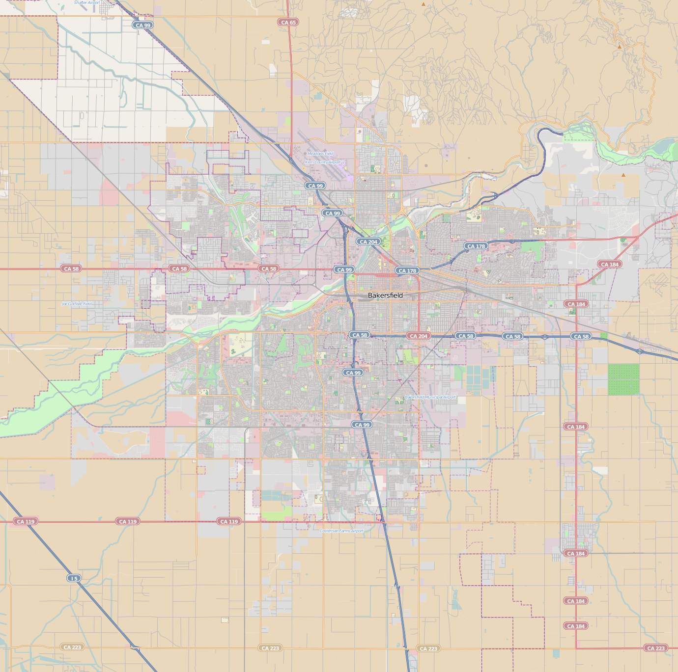
Area - Total 28.14 sq mi (72.9 km2) Includes area scheduled for future development. ZIP Code 93308, 93312 Area Code 661 Northwest Bakersfield (commonly referred to simply as The Northwest) is the northwest region of Bakersfield, California. It is bounded by the Kern River/Stockdale Hwy to the south and state route 99 to the east. The other boundaries are the city limits.
Historically this region was rural, with the farming communities of Fruitvale, Rosedale, and Greenacres. However, starting in the mid 90’s, this region started seeing a lot of growth. The city limits have reached the boundaries of these communities.
The area incorporated by the city is primarily residential and retail, although there is some commercial. The area that is unincorporated is primarily industrial.
Contents
Neighborhoods
Bakersfield Commons
Bakersfield Commons is a planned neighborhood in the northwest. Its exact boundaries are currently unknown, but it will contain land at the intersection of Coffee Rd and Brimhall Ave. The development will take approximately 20 years to completely build.[1] It will use a building policy where residential, commercial and retail will be built closely together to allow for easy access by foot.
Bakersfield Commons will also contain a new retail shopping center. Its design will imitate a main street similar to “The Grove” in Los Angeles. According to advertisements from the developer, the goal will be to bring new businesses from outside the city, instead of being new locations for existing businesses.[2]
Riverlakes Ranch
Riverlakes Ranch is a neighborhood in the northwest. Starting north and traveling clockwise, it is roughly bounded by Olive Dr, Coffee Rd, Rosedale Hwy, and Allen Rd. East of Coffee Rd, there is a small segment that extends south to Fruitvale Ave, next to the town of Fruitvale. It is a mixture of residential commercial and retail developments. The centerpiece of Riverlakes Ranch is The Links at Riverlakes Ranch public golf course. The design of the course was inspired by Scottish golf courses.[3] Riverlakes Ranch also contains the Northwest Promenade, a 2-mile long retail shopping center.
References
- ^ The Three Phases. Bakersfield Commons. Accessed: 05-17-2010.
- ^ Retail Component. Bakersfield Commons. Accessed: 05-17-2010.
- ^ Home Page. The Links at Riverlakes Ranch. Accessed: 05-17-2010.
External links
City of Bakersfield Topic Government Mayor • City Council • City Manager • Other Elected Officials • Airport • Train Station • Public Transit • Police Department • Fire Department • LibrariesRegions Downtown Bakersfield • North Bakersfield • Northeast • East Bakersfield • Southeast • South Bakersfield • Southwest • NorthwestCategories:- Neighborhoods in Bakersfield, California
Wikimedia Foundation. 2010.