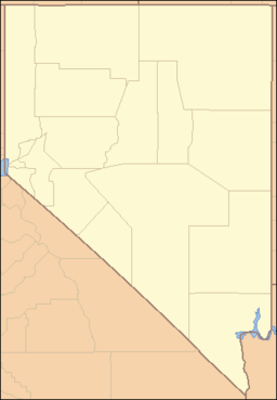
North Jackson Mountains Wilderness — Coordinates: 41°21′40.641″N 118°28′11.576″W / 41.36128917°N 118.46988222°W / 41.36128917; 118.46988222 … Wikipedia
North Black Rock Range Wilderness — Coordinates: 41°26′15.634″N 119°2′20.665″W / 41.43767611°N 119.03907361°W / 41.43767611; 119.03907361 … Wikipedia
North Vancouver, British Columbia — This page is about the two distinct British Columbia municipalities that use the name, and are often jointly referred to as, North Vancouver . For information specific to the City of North Vancouver or the District of North Vancouver, please… … Wikipedia
Muddy Pass — Elevation 8,772 ft (2,674 m) Traversed by U.S. Highway 40 … Wikipedia
Muddy Boggy Creek — Muddy Boggy River River Country United States of America … Wikipedia
North American river otter — Conservation status Least Concern� … Wikipedia
North Park (Colorado basin) — Log structure near Rand, Colorado, at the southern end of North Park. The view is southwards towards Willow Creek Pass. North Park is a high, sparsely populated basin (approximately 8800 ft in elevation) in the Rocky Mountains in north central… … Wikipedia
North River (South Fork Shenandoah River) — The North River is a 55.3 mile long (89.0 km)[1] river in the mountains and Shenandoah Valley of northern Virginia, the United States. It joins the South River at Port Republic to form the South Fork Shenandoah River.[2] … Wikipedia
North Fork Gunnison River — Coordinates: 38°46′58″N 107°50′12″W / 38.78278°N 107.83667°W / 38.78278; 107.83667 … Wikipedia
Southern Rocky Mountains — Range Mount Elbert is the highest peak of the Southern Rocky Mountains … Wikipedia

