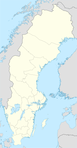
- Nitta, Sweden
-
Nitta Coordinates: 57°49′N 13°11′E / 57.817°N 13.183°ECoordinates: 57°49′N 13°11′E / 57.817°N 13.183°E Country Sweden Province Västergötland County Västra Götaland County Municipality Ulricehamn Municipality Area[1] - Total 0.31 km2 (0.1 sq mi) Population (2005-12-31)[1] - Total 348 - Density 1,141/km2 (2,955.2/sq mi) Time zone CET (UTC+1) - Summer (DST) CEST (UTC+2) Nitta is a locality situated in Ulricehamn Municipality, Västra Götaland County, Sweden with 348 inhabitants in 2005.[1]
References
- ^ a b c "Tätorternas landareal, folkmängd och invånare per km2 2000 och 2005" (in Swedish) (xls). Statistics Sweden. http://www.scb.se/statistik/MI/MI0810/2005A01B/T%c3%a4torternami0810tab1.xls. Retrieved 2009-05-08.
Localities in Ulricehamn Municipality, Västra Götaland County, Sweden Localities: Blidsberg · Dalum · Gällstad · Hökerum · Hulu · Marbäck · Nitta · Rånnaväg · Timmele · Trädet · Ulricehamn (seat) · VegbyCategories:- Västra Götaland County geography stubs
- Populated places in Västra Götaland County
Wikimedia Foundation. 2010.

