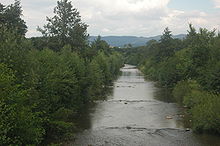
Nitra (river)

Nitra (river)
Nitra in Prievidza

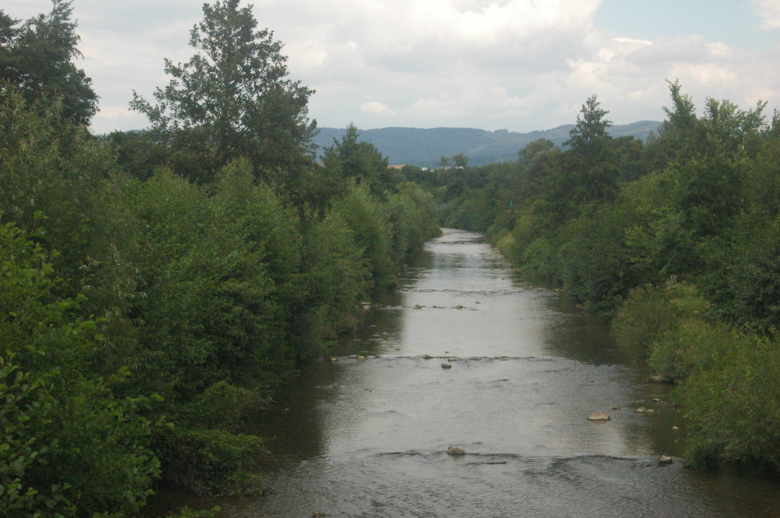
The Nitra (-Slovak, German: Neutra, Hungarian: Nyitra) is a 197 km long river in western Slovakia. It flows into the Váh river close to its confluence with the Danube in Komárno. Its source is in the Malá Fatra (Lesser Fatra) mountains north of Prievidza. The river Nitra passes through the towns of Bojnice, Topoľčany, Nitra and Nové Zámky.

Coordinates: 47°48′N 18°08′E / 47.8°N 18.133°E / 47.8; 18.133


Wikimedia Foundation. 2010.

Игры ⚽ Нужно решить контрольную?

Look at other dictionaries:

  • Nitra River — The Nitra ( Slovak, German: Neutra , Hungarian: Nyitra ) is a 197 km long river in western Slovakia. It flows into the Váh river close to its confluence with the Danube in Komárno. Its source is in the Malá Fatra (Lesser Fatra) mountains north of …   Wikipedia

  • Nitra — If you were looking for a chemical, see nitre or nitro. Coordinates: 48°18′25″N 18°05′11″E / 48.30694°N 18.08639°E / 48.30694; 1 …   Wikipedia

  • Nitra — Ni·tra (nēʹtrə) A city of western Slovakia on the Nitra River, a tributary of the Danube. Nitra was a religious center after the ninth century and became a free city in 1248. Population: 83,338. * * * ▪ Slovakia German  Neutra  Hungarian  Nyitra  …   Universalium

  • Žitava River — Infobox River river name = Žitava caption = The Žitava river near Radvaň nad Dunajom, near its former mouth to the Danube origin = Pohronský Inovec mouth = Šurany (new branch)/Martovce (old branch) basin countries = Slovakia length = 99.3 km… …   Wikipedia

  • Principality of Nitra — principality early 9th century …   Wikipedia

  • Topoľčany — Coordinates: 48°33′15″N 18°10′37″E / 48.55417°N 18.17694°E / 48.55417; 18.17694 …   Wikipedia

  • List of tourism regions of Slovakia — There are the following official regions for the purposes of tourism in Slovakia: Division until 2004 The districts (okresy) completely or partly included in the regions are indicated in brackets:*Bratislava and surroundings (Bratislava, Malacky …   Wikipedia

  • Danubian Hills — cover significant part of western Slovakia The Danubian Hills (Slovak: Podunajská pahorkatina), also translated as Danubian Upland, is the north eastern, more mountain like, part of the Danubian Lowland in Slovakia. It lies between the Danubian… …   Wikipedia

  • Czechoslovak history — Introduction       history of the region comprising the historical lands of Bohemia, Moravia, and Slovakia from prehistoric times through their federation, under the name Czechoslovakia, during 1918–92. With the dissolution of the Czechoslovak… …   Universalium

  • Šurany — Coordinates: 48°05′14″N 18°11′10″E / 48.08722°N 18.18611°E / 48.08722; 18.18611 …   Wikipedia

Share the article and excerpts

Direct link
Do a right-click on the link above
and select “Copy Link”