Nigg, Highland

Nigg, Highland

Coordinates: 57°43′08″N 4°00′32″W / 57.719°N 4.009°W / 57.719; -4.009

Nigg
Scottish Gaelic: An Neag
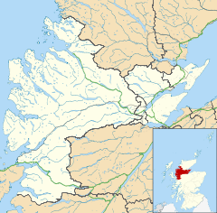
Nigg is located in Ross and Cromarty
Nigg

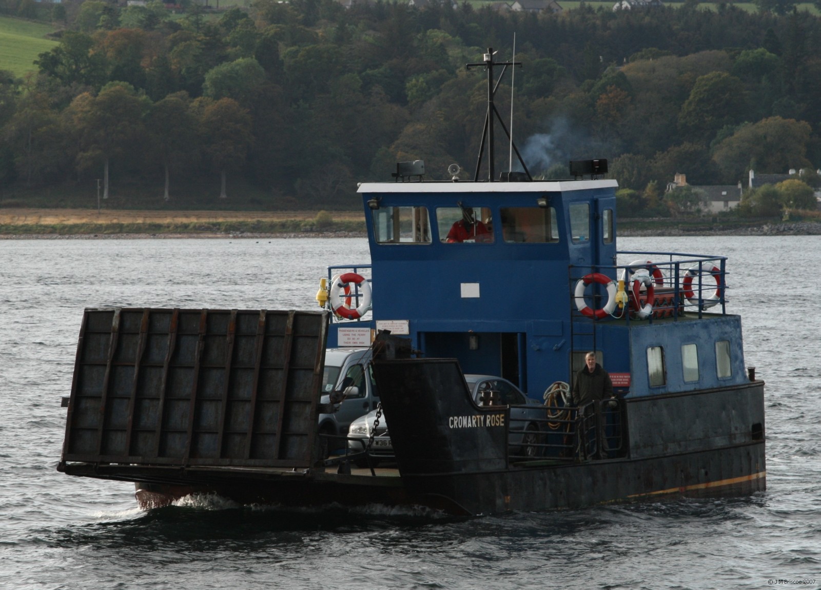
 Nigg shown within the Ross and Cromarty area
OS grid reference NH815708
Council area Highland
Country Scotland
Sovereign state United Kingdom
Post town Tain
Postcode district IV19 1
Police Northern
Fire Highlands and Islands
Ambulance Scottish
EU Parliament Scotland
List of places: UK • Scotland •
The Cromarty Rose arriving at Nigg
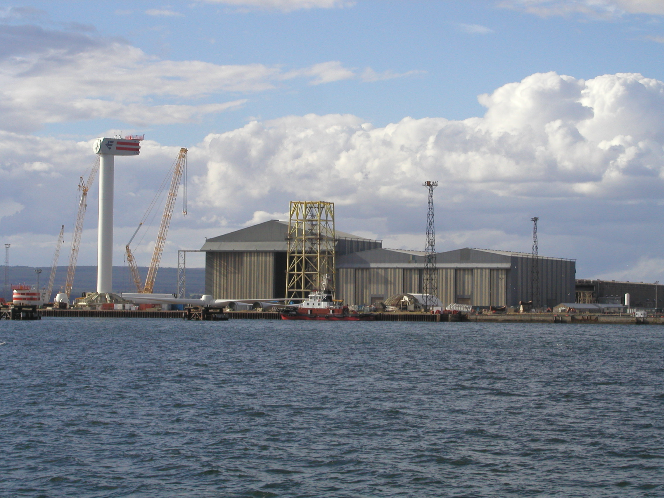
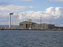
5 MW wind turbine under construction at Nigg fabrication yard

Nigg (from the Scottish Gaelic: An Neag meaning "the notch", referring to a feature of the hills above the parish church) is a village and parish on the north east shore of Nigg Bay in north east Ross-shire and is in the Scottish council area of Highland. It lies by the north shore of the entrance to the Cromarty Firth.

The present parish church is an 18th century building on an early Christian site dating back to at least the 8th century. The Nigg Stone, one of the most elaborate stone monuments of early medieval western Europe, is preserved in a room at the west end of the church. This late 8th century Pictish cross-slab formerly stood in the churchyard, but was moved indoors for preservation in recent years.

The nearby manse is one of the oldest to survive in Scotland, dating back to the first half of the 17th century. It is now privately owned and no longer used as the parish minister's residence.

Nigg is the site of an oil storage depot for crude oil from the Beatrice oil field in the North Sea and of a major construction facility built by Highland Fabricators for the oil industry.

The Nigg Ferry Hotel lies to its south (at grid reference NH796687) near the pier which provides access to Cromarty during the summer on the MV Cromarty Rose.

See also


Wikimedia Foundation. 2010.

Игры ⚽ Нужно решить контрольную?

Look at other dictionaries:

  • Nigg — may refer to: Places Antarctica Nigg Rock Scotland Nigg, Aberdeen Nigg, Highland, a village in Easter Ross, Highland; on Nigg Bay, in the Cromarty Firth People Joseph Nigg, an Austrian painter Serge Nigg, a French composer See also Nigg Stone, a… …   Wikipedia

  • Nigg Bay — Not to be confused with Nigg Bay, Aberdeen. Nigg Bay is a large relatively shallow sandy bay, consisting of mudflat, saltmarsh and wet grassland, located at the north east coast of the Cromarty Firth and is 5 miles to the east of Invergordon, in… …   Wikipedia

  • Nigg Stone — The reverse or secular side of the stone in a 19th century illustration, minus the top section …   Wikipedia

  • Nigg — ▪ Scotland, United Kingdom       village, Highland council area, historic county of Ross shire, historic region of Ross and Cromarty, northeast coast of Scotland. It is closely associated with and heavily dependent on the offshore petroleum… …   Universalium

  • List of places in Highland — This article is a list of links for any town, village, hamlet and settlements, in the Highland council area in Scotland. The area encompassed by the Highland council is a slightly different area to that encompassed by the Scottish… …   Wikipedia

  • Clan Gayre — or Clan Gair is a Highland Scottish clan. Contents 1 History 1.1 Origins of the Clan 1.2 17th Century 1.3 18th Century …   Wikipedia

  • Pictish stones — are monumental stelae found in Scotland, mostly north of the Clyde Forth line. These stones are the most visible remaining evidence of the Picts and are thought to date from the 6th to 9th centuries.Purpose and meaningThe purpose and meaning of… …   Wikipedia

  • List of community council areas in Scotland — This is a list of community council areas established in each of the council areas of Scotland.Aberdeen CityThere are 31 community council areas in the council area. Those marked with an asterisk have a community council. [… …   Wikipedia

  • List of RSPB reserves — NOTOC The Royal Society for the Protection of Birds (RSPB) is Europe s largest wildlife conservation charity. This is a list of RSPB reserves.EnglandA*Arne, Dorset *Adur Estuary, Shoreham by Sea, West Sussex *Aylesbeare Common, DevonB*Bempton… …   Wikipedia

  • Cromarty — For uses of a similar name, see Cromartie. Coordinates: 57°40′54″N 4°02′13″W / 57.681628°N 4.037008°W / 57.681628; 4.037008 …   Wikipedia

Share the article and excerpts

Direct link
Do a right-click on the link above
and select “Copy Link”