- Diepenbeek
-
Diepenbeek 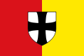
Flag
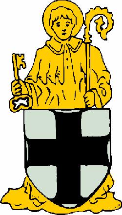
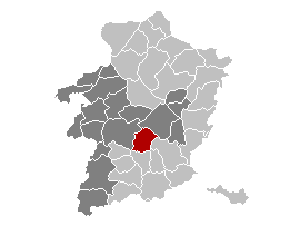
Coat of armsLocation in Belgium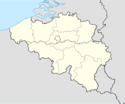
 Diepenbeek
Coordinates: 50°54′N 05°24′E / 50.9°N 5.4°E Country Belgium Region Flemish Region Community Flemish Community Province Limburg Arrondissement Hasselt Government - Mayor Etienne Steegmans (CD&V-VDD) - Governing party/ies sp.a, VLD, Groen! Area - Total 41.19 km2 (15.9 sq mi) Population (1 January 2010)[1] - Total 18,208 - Density 442/km2 (1,144.9/sq mi) Postal codes 3590 Area codes 011 Website www.diepenbeek.be Map of Diepenbeek
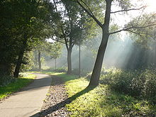

Diepenbeek is a municipality located in the Belgian province of Limburg near Hasselt. On January 1, 2006 Diepenbeek had a total population of 17,706. The total area is 41.19 km² which gives a population density of 430 inhabitants per km².
It is home to Hasselt University, slowly expanding towards Hasselt itself. The Limburg Science Park is located on the university campus.
References
- ^ Population per municipality on 1 January 2010 (XLS; 221 KB)
External links
- Official website - Only available in Dutch
Hasselt As · Beringen · Diepenbeek · Genk · Gingelom · Halen · Ham · Hasselt · Herk-de-Stad · Heusden-Zolder · Leopoldsburg · Lummen · Nieuwerkerken · Opglabbeek · Sint-Truiden · Tessenderlo · Zonhoven · Zutendaal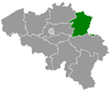
Maaseik Bocholt · Bree · Dilsen-Stokkem · Hamont-Achel · Hechtel-Eksel · Houthalen-Helchteren · Kinrooi · Lommel · Maaseik · Meeuwen-Gruitrode · Neerpelt · Overpelt · PeerTongeren Categories:- Municipalities of Limburg (Belgium)
- Belgium geography stubs


Wikimedia Foundation. 2010.