Murovdag

Murovdag

Coordinates: 40°16′00″N 46°19′00″E / 40.2667°N 46.3167°E / 40.2667; 46.3167

Murovdag (Murovdağ)
Range
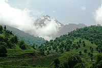
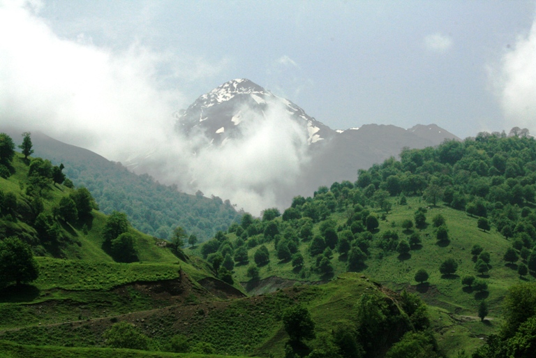
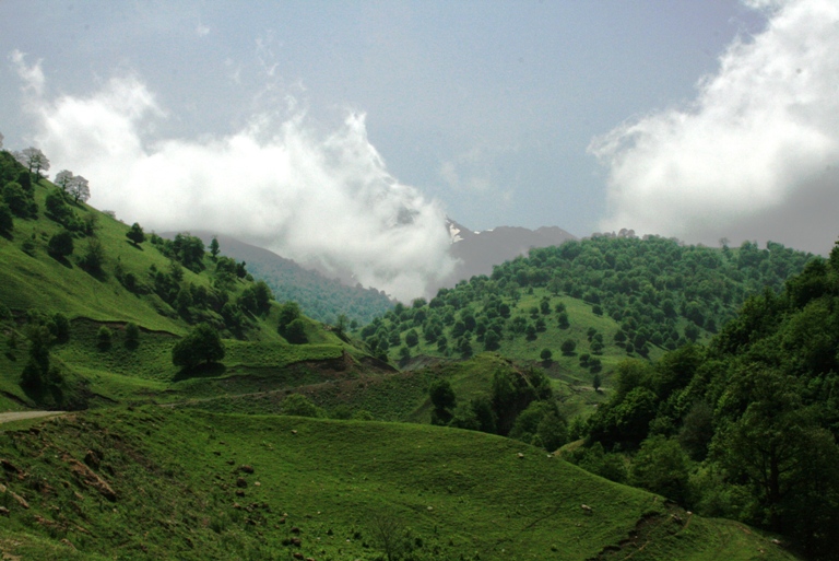
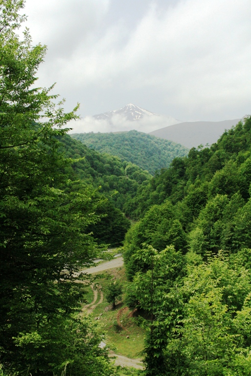
Country Azerbaijan
Highest point
 - elevation 3,724 m (12,218 ft)
Length 70 km (43 mi)

The Murovdag (or Murovdagh, Azerbaijani: Murovdağ) is the highest mountain range in Lesser Caucasus (peack point - Gamish Mountain, 3,724 metres (12,218 ft), length ca. 70 km). It is made up mainly of Jurassic, Cretaceous and Paleogene rocks.[1]

The Murovdag ridge extends north off Hinaldag elevation through Gamish elevation. The north-eastern slope features a group of scenic lakes, including Göygöl near the northern slope. The Garabagh plateau extends from the south of Murovdag. Fir and spruce forests are spread as far south-east as the Murovdag. The summer mountain pastures of Murovdag were traditionally used by Azerbaijani herders.

Note

  1. ^ Azerbaijan Soviet Encyclopedia (1983), vol. 7, p. 93

Views


Wikimedia Foundation. 2010.

Игры ⚽ Поможем сделать НИР

Look at other dictionaries:

  • Муровдаг — Эту страницу предлагается переименовать в Мровдагский. Пояснение причин и обсуждение  на странице Википедия:К переименованию/18 августа 2012. Возможно, её текущее название не соответствует нормам современного русского языка и/или… …   Википедия

  • Nagorno-Karabakh — For the republic, see Nagorno Karabakh Republic. Nagorno Karabakh Լեռնային Ղարաբաղ , Leṙnayin Ġarabaġ(Armenian) …   Wikipedia

  • Dashkasan Rayon — Dashkasan   Rayon   Map of Azerbaijan showing Dashkasan Rayon …   Wikipedia

  • Azerbaijan — /ah zeuhr buy jahn , az euhr buy jan /; Russ. /u zyirdd buy jahn /, n. 1. Also, Azerbaidzhan. Formerly, Azerbaijan Soviet Socialist Republic. a republic in Transcaucasia, N of Iran and W of the Caspian Sea. 7,735,918; 33,430 sq. mi. (86,600 sq.… …   Universalium

  • Mount Bazardüzü — View of Mount Bazardüzü from Qabala, Azerbaijan Elevation …   Wikipedia

  • Mount Bozdağ — Location Location  Azerbaijan …   Wikipedia

  • Mount Goyazan — (Azerbaijani: Göyəzən dağı) is a mountain in northwestern Qazakh Rayon of Azerbaijan. It is located in the vicinity of the villages Abbasbeyli and Alpout, and rises 857.9 metres above the sea level. Ruins of a Goyazan fortress from the 14th… …   Wikipedia

  • Mount Kapaz — Kəpəz dağı Elevation 3,065 m (10,056 ft) [1] Listing …   Wikipedia

  • Mount Shahdagh — Elevation 4,243 m (13,921 ft) …   Wikipedia

Share the article and excerpts

Direct link
Do a right-click on the link above
and select “Copy Link”