Mundaring Weir Road

Mundaring Weir Road
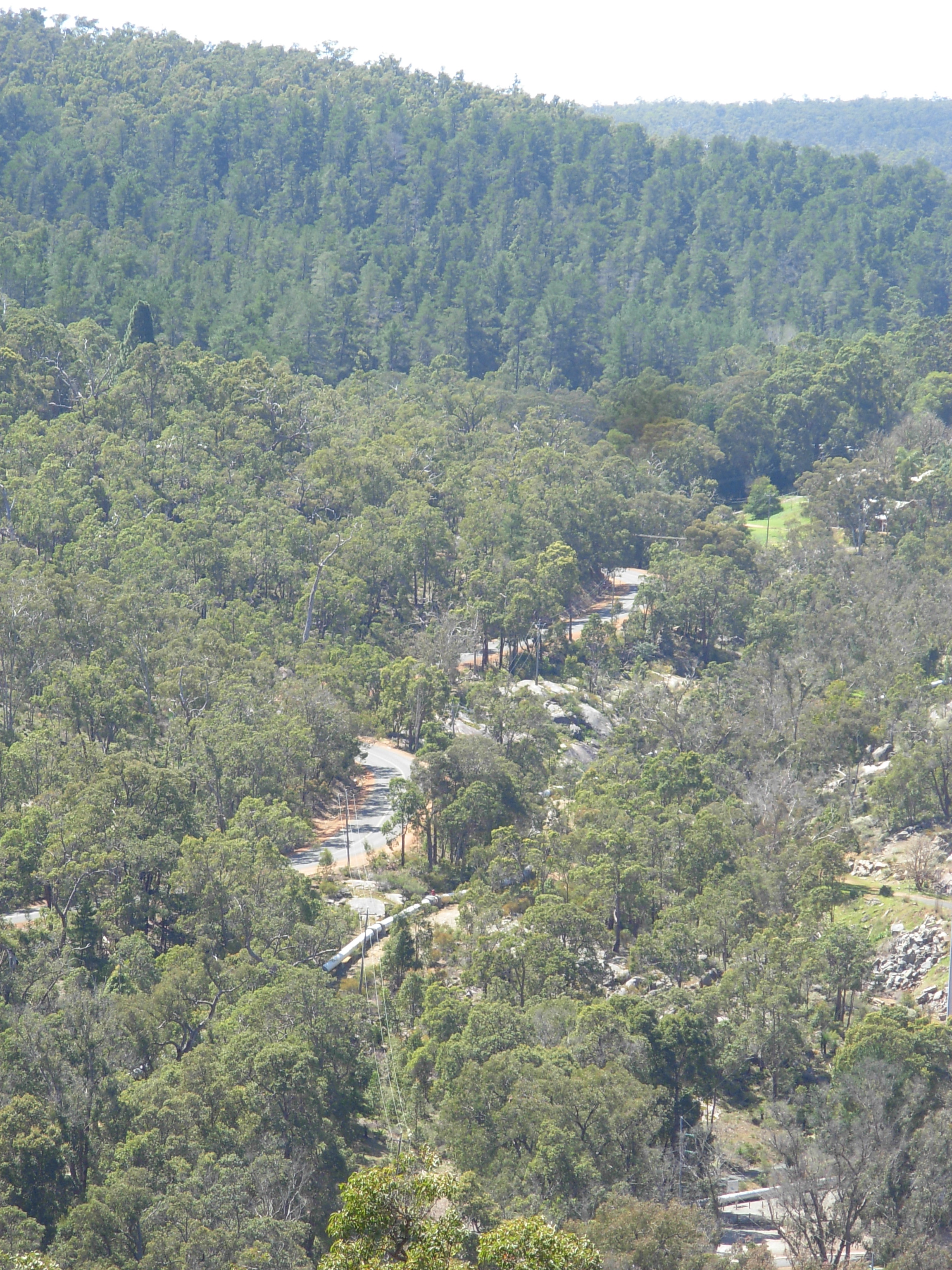
Mundaring Weir Road, just north west of Mundaring Weir.
Mundaring Weir Road
Australian Tourist Route 207.svg
Length 24 km (15 mi)
Direction Northeast-Southwest
From Mundaring
Major suburbs Mundaring Weir
To Kalamunda

Mundaring Weir Road is a road in the outer eastern suburbs of Perth, Western Australia.

It is the primary access route for Mundaring Weir, a dam and tourist attraction. It is a single carriageway for its entire length, with one lane in either direction. It crosses the alignment of the long since removed Mundaring Weir Railway a number of times, before crossing the Helena River just west of the first pumping station for the Goldfields Water Supply Scheme[1]

It passes east of the Beelu National Park.

It starts from Phillips Road in Mundaring, 35 km east of Perth's central business district, and heads south towards the weir from which it derives its name through State Forest regions. It then heads west, providing access to the sparsely populated and largely forested agricultural localities of Hacketts Gully and Paulls Valley, before entering Kalamunda from the east. It terminates at a roundabout in Kalamunda's town centre.

It has been a vital link into forestry areas - and also areas subjected to bushfire in recent years.

See also

References

  1. ^ Edmonds, Leigh (1998)Large timber structures in Western Australia. Perth, W.A. Engineering Heritage Panel, Western Australia Division, Institution of Engineers (5 volumes) mention of the bridge downstream of Mundaring Weir

Wikimedia Foundation. 2010.

Игры ⚽ Поможем написать курсовую

Look at other dictionaries:

  • Mundaring Weir Road, Perth — Infobox Australian Road road name = Mundaring Weir Road type = road route route route photo = caption = length = 24 direction = Northeast Southwest start = Mundaring finish = Kalamunda est = through = Mundaring Weir route = exits = Mundaring Weir …   Wikipedia

  • Mundaring Weir Branch Railway — Mundaring Weir Branch Line Legend …   Wikipedia

  • Shire of Mundaring — Infobox Australian Place | type = lga name = Shire of Mundaring state = wa imagesize= 180 caption = pop = 35,097 (2006 census) area = 644.9 est = seat = Mundaring mayor = Helen Dullard region = Darling Scarp logosize = 86 url =… …   Wikipedia

  • Beelu-Nationalpark — Bergseitiges Ufer des Helena River …   Deutsch Wikipedia

  • Parc national Beelu — La vallée de l Helena River Catégorie UICN II (parc national) Identifiant 354840 …   Wikipédia en Français

  • Lavenderpatch — (Mundaring,Австралия) Категория отеля: Адрес: 450 Mundaring Weir Road, 6073 Mundaring …   Каталог отелей

  • Paulls Valley, Western Australia — Infobox Australian Place | type = suburb name = Paulls Valley city = Perth state = wa caption = lga = Shire of Kalamunda postcode = 6076 est = stategov = Darling Range fedgov = Pearce near nw = Darlington near n = Glen Forrest near ne = Mundaring …   Wikipedia

  • Great Eastern Highway — Infobox Australian Road road name = Great Eastern Highway caption = Great Eastern Highway at route route route photo = Great Eastern Highway SMC.jpg|400px length = 595 direction = West East start = finish = est = 1890s through = Northam, Merredin …   Wikipedia

  • Glen Forrest, Western Australia — Infobox Australian Place | type = suburb name = Glen Forrest city = Perth state = wa caption = lga = Shire of Mundaring postcode = 6071 pop = 2832 (2006 census)Census 2006 AUS|id=SSC51521|name=Glen Forrest (State Suburb)|quick=on|accessdate=2008… …   Wikipedia

  • Western Australian Government Railways — Infobox Government agency agency name = Western Australian Government Railways logo width = 300 px logo caption = One of the WAGR logos on old rolling stock at the ARHS Museum at Bassendean. seal width = seal caption = formed = 1890 preceding1 =… …   Wikipedia

Share the article and excerpts

Direct link
Do a right-click on the link above
and select “Copy Link”