- Ko Phai
-
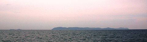 Ko Phai seen from the east. Ko Luam can be seen on the right side of the image, overlapped by Ko Phai. Ko Klung Badan is the silhouette on the left.
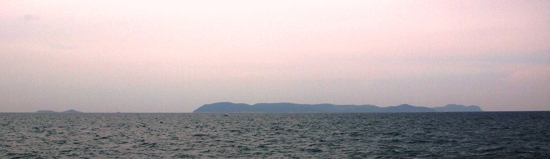
Ko Phai (เกาะไผ่) is the largest island in Mu Ko Phai (หมู่เกาะไผ่), a small uninhabited archipelago belonging to the Eastern Seaboard Islands of Thailand. It is located about 21 km to the west of Pattaya. It is also mentioned as "Bamboo Island", the meaning of its name in Thai, in tourist guides. This island is located at the SE end of the Bay of Bangkok, on the eastern side of the Gulf of Siam. Administratively Ko Phai belongs to the Amphoe Bang Lamung, Chonburi Province.
Ko Phai is almost 4 km in length and its maximum width is about 1.5 km. It is a quite craggy wooded island and a great part of its coast is formed by rocky cliffs. The whole island is high, but its highest point is only 150 m and there is not a single peak dominating above the others. There is a light house on the summit of the island.
"Ko Phai" is the name of the island in the Royal Thai General System of Transcription. It is also known as "Koh Pai" in the English-based Thai transcription that is now becoming obsolete.
The closest land to the Ko Phai group is Ko Lan, located about 14 km to the east of Ko Phai's eastern shore. These islands can be reached in about 2 hours by boat from Southern Pattaya harbor. The rental rate depends on the size of the boat and the destination. All these islands are a protected natural area under the supervision of the Royal Thai Navy. Visitors ought to bring their own food and water and they are not allowed to stay overnight on Mu Ko Phai.[1]
Contents
Adjacent islands
Other islands of the group include:
- Ko Luam, or Ko Lueam, (เกาะเหลื่อม ) is a high rocky island wooded at the top much like Ko Phai; highest point 135 m. It is located to the NW of the main island. Ko Lueam has a small islet, Ko Lueam Noi, off its eastern coast.
- Ko Man Wichai (เกาะมารวิชัย), 2 km in length and highest point 64 m, Ko Klung Badan (เกาะกรุงบาดาล ), highest point 50 m, and the small islet of Ko Hu Chang (เกาะหูช้าง ), are all located to the south of Ko Phai.[2]
Scuba diving
One of the main attractions of the island group are some well-preserved coral reefs. A World War II-vintage ship of the Royal Thai Navy, HTMS Khram (ex USS LSM-469), was sunk 300 m to the east of Ko Phai in January 2003 in order to create an artificial submerged reef. The wreck is located in an area suitable for scuba diving.[3][4]
See also
References
- ^ Wikitravel
- ^ Hydrographic Service of the Royal Thai Navy, Chart 142
- ^ Thailand Diving: HTMS Ship Wreck - Another unique Pattaya dive site
- ^ NavSource Online: Amphibious Photo Archive - USS LSM-469
Coordinates: 12°56′00″N 100°40′30″E / 12.9333333°N 100.675°E
Categories:- Uninhabited islands of Thailand
- Pattaya
Wikimedia Foundation. 2010.