- Mpanga
-
Mpanga Map of Uganda showing the location of Mpanga.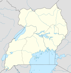
 Mpanga
Coordinates: 00°04′52″N 30°22′52″E / 0.08111°N 30.38111°E Region Western Uganda Sub-region Toro sub-region District Kamwenge District Elevation 1,000 m (3,281 ft) Time zone EAT (UTC+3) Mpanga is a location on River Mpanga in Uganda.
Contents
Location
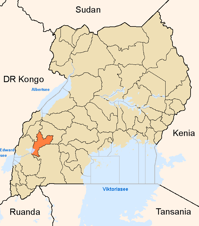
Mpanga is located in Kamwenge District, Western Uganda, adjacent to the location where River Mpanga empties into Lake George. This location lies approximately 18 kilometres (11 mi), by road, southwest of Kamwenge, the nearest town and location of the district headquarters.[1] and approximately 300 kilometres (190 mi), by road, west of Kampala, the capital of Uganda and the largest city in that country.[2] Mpanga is also the location of Mpanga Power Station, an 18 MW hydropower project in Uganda, constructed between 2008 and 2011. Mpanga Power Station was commissioned on 10 February 2011.[3] The coordinates of Mpanga are:00 04 52N, 32 22 52E (Latitude:0.0810; Longitude:30.3810).
Population
The exact population of Mpanga is unknown, as of February 2011.
Landmarks
The landmarks at or near Mpanga include:
- Mpanga Power Station - An 18 MW hydroelectric power plant across River Mpanga
- Lake George - An inland crater lake that lies entirely in Uganda within Queen Elizabeth National Park
- Mpanga Forest - A National Forest Reserve
- Queen Elizabeth National Park (QENP) - Lying within neighboring Kasese District and Rubirizi District, QENP is the most visited national park in Uganda
- Kamwenge - The headquarters of Kamwenge District, lies only 18 kilometres (11 mi), by road, northeast of Mpanga.
External links
See also
- Kamwenge
- Kamwenge District
- Mpanga Power Station
- Western Region, Uganda
References
 Kamwenge DistrictCapital: Kamwenge
Counties and
sub-countiesKibaale County · Kitagwenda County
Towns and
villagesKamwenge · MpangaEconomy PostBank Uganda · Uganda Finance Trust Limited · Mpanga Power StationNotable
landmarksKibaale National Park · Katonga Wildlife Reserve · Katonga River · Lake George · Kyambura Game Reserve · Queen Elizabeth National Park · River Mpanga · River RushangoCategories:- Populated places in Uganda
- Kamwenge District
- Western Region, Uganda

Wikimedia Foundation. 2010.