Suvobor

Suvobor
Suvobor
Suvobor is located in Central Serbia
Suvobor
Central Serbia
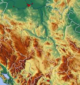
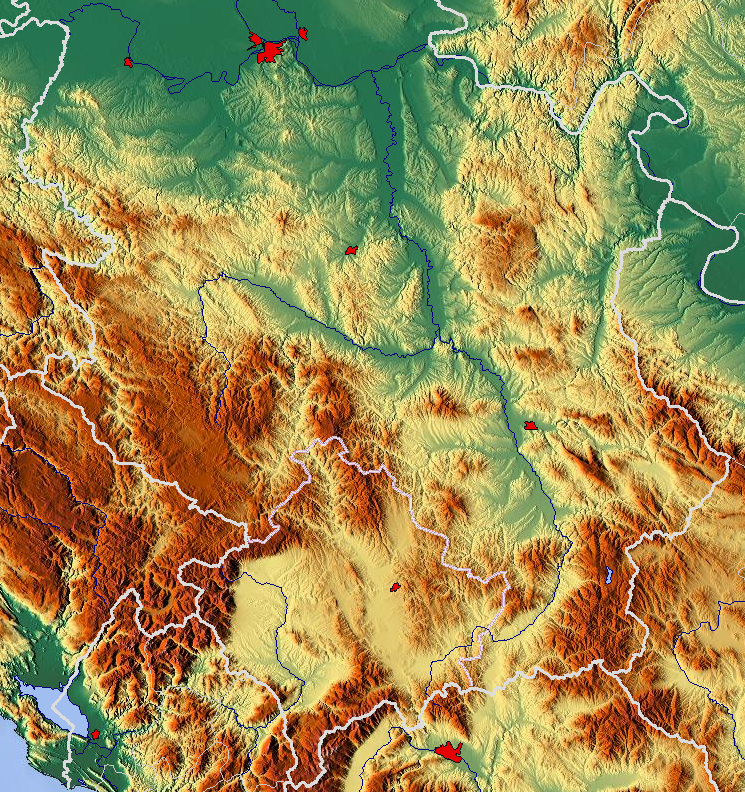
Elevation 866 m (2,841 ft) [1]
Location
Range Valjevo mountains
Coordinates 44°07′16″N 20°10′54″E / 44.12111°N 20.18167°E / 44.12111; 20.18167Coordinates: 44°07′16″N 20°10′54″E / 44.12111°N 20.18167°E / 44.12111; 20.18167

Suvobor[2] (Serbian Cyrillic: Сувобор) is a mountain in central Serbia, near the town of Gornji Milanovac. Its highest peak Suvobor has an altitude of 866 meters above sea level.

Northwestern part of Suvobor is called Rajac (847 m 44°07′16″N 20°10′54″E / 44.12111°N 20.18167°E / 44.12111; 20.18167) and is generally best developed touristically.

Suvobor and Rajac were the site of Battle of Kolubara of the World War I in December 1914. In World War II, Suvobor was a stronghold of Chetnik movement, and their leader Draža Mihailović had the main headquarters at Ravna Gora.

Vrujci spa is located at the northern slopes of Suvobor.

References


Wikimedia Foundation. 2010.

Игры ⚽ Нужно решить контрольную?

Look at other dictionaries:

  • Suvobor — Géographie Altitude 864 m[1] Massif …   Wikipédia en Français

  • Battle of Kolubara — Infobox Military Conflict conflict=Battle of Kolubara caption=Serbian soldiers are crossing Kolubara river during the battle partof=Serbian Campaign (World War I) date=November 16 to December 15, 1914 place=Around Kolubara, Ljig river, Mount… …   Wikipedia

  • Gornji Milanovac — Горњи Милановац Héraldique …   Wikipédia en Français

  • List of mountains in Serbia — This is the full list of mountains in Serbia (including Kosovo).[a] Most of Serbia is covered with low and medium high mountains. Mountains in central, western and southwestern Serbia belong to the Dinarides range, while the Carpates, Balkan… …   Wikipedia

  • Cemernica (rivière) — Čemernica (rivière) Pour les articles homonymes, voir Čemernica. la Čemernica Caractéristiques …   Wikipédia en Français

  • Dicina — Dičina la Dičina Caractéristiques Longueur 35 km Bassin 394 km2 …   Wikipédia en Français

  • Dičina — la Dičina Caractéristiques Longueur 35 km Bassin 394 km2 Bassin collecteur …   Wikipédia en Français

  • Kostunici — Koštunići Koštunići Коштунићи [[Image:|100px|center|Blason]] [[Image:|100px|center|Drapaeau]] Héraldique Drapeau …   Wikipédia en Français

  • Kostunići — Koštunići Koštunići Коштунићи [[Image:|100px|center|Blason]] [[Image:|100px|center|Drapaeau]] Héraldique Drapeau …   Wikipédia en Français

  • Koštunići — Коштунићи Administration Pays  Serbie …   Wikipédia en Français

Share the article and excerpts

Direct link
Do a right-click on the link above
and select “Copy Link”